Day 80 – Cholula and Puebla

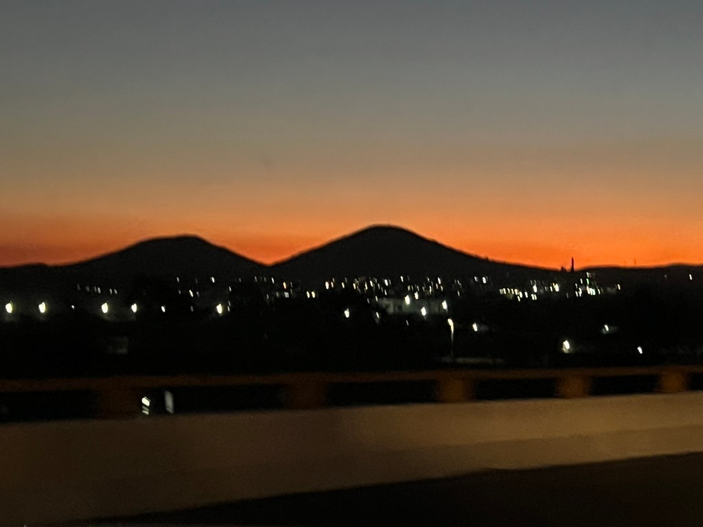
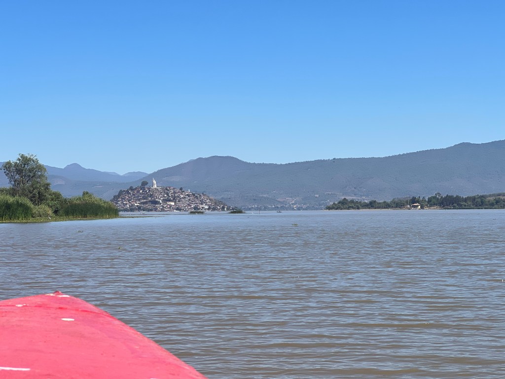
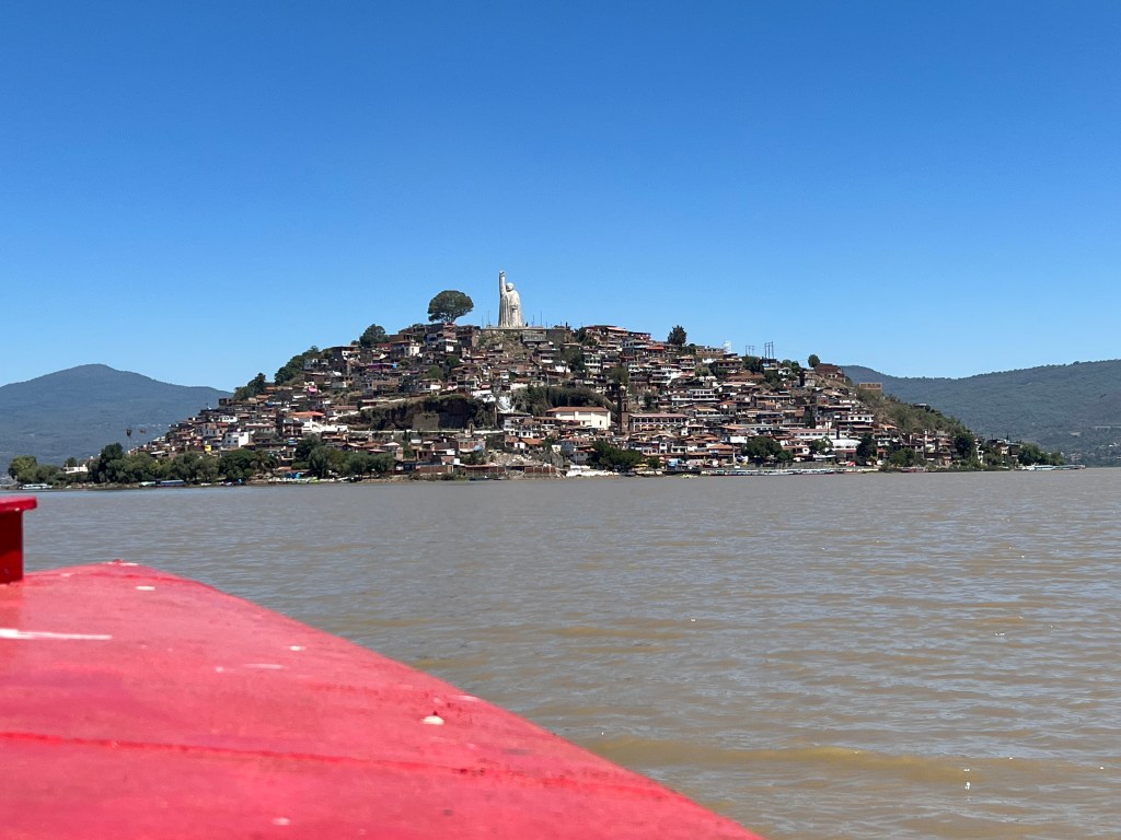
Cholula is on the outskirts of Puebla, a city of 3.8mln people. Cholula has around 150K in the city proper and about 250k in the surrounding neighborhoods. Puebla has a large – albeit little used international airport, mainly to receive parts from large cargo planes from Germany for the VW plant there.

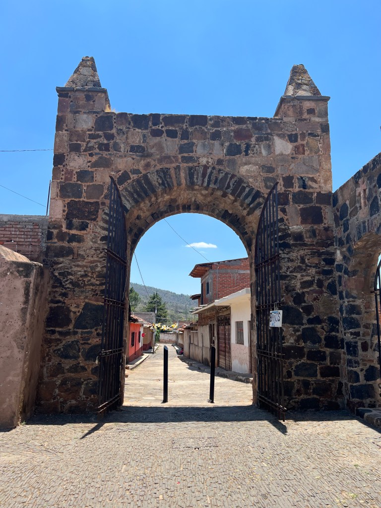
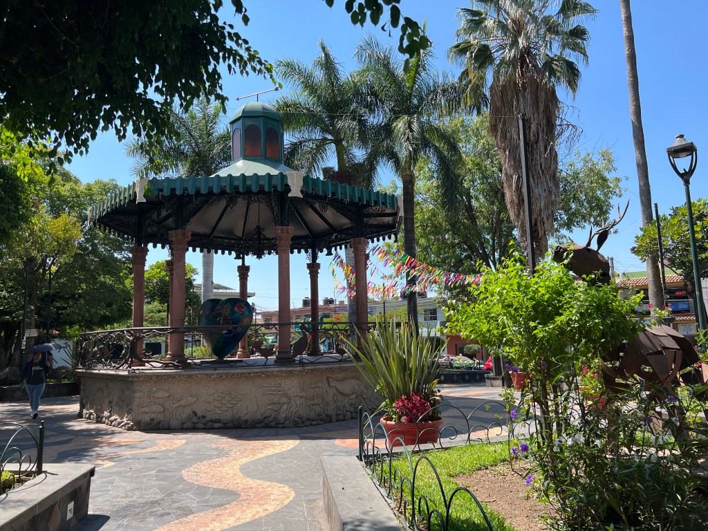
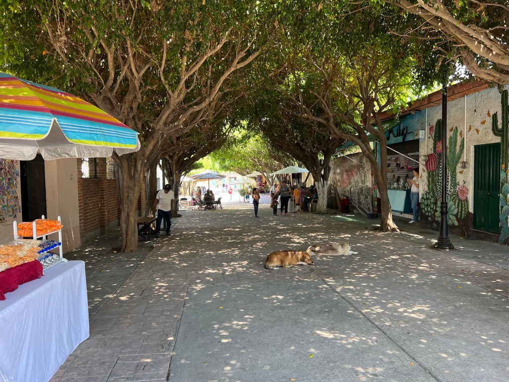
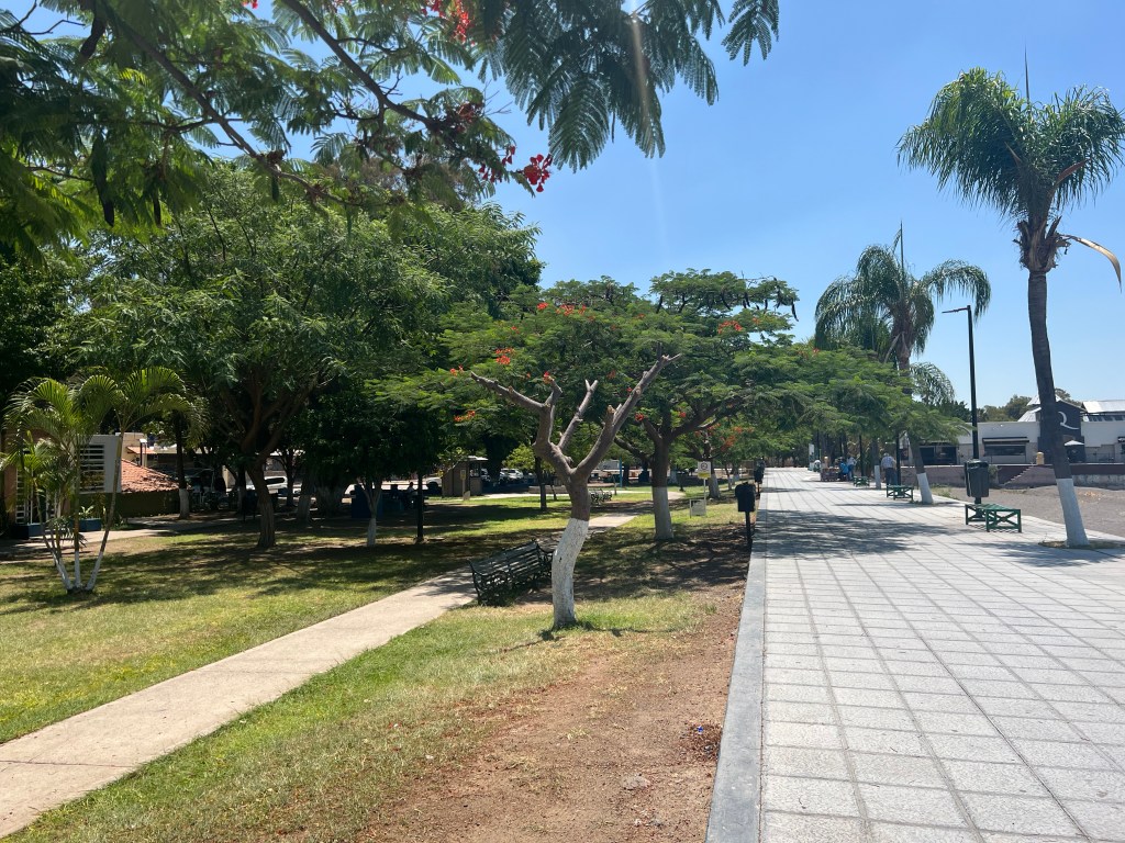
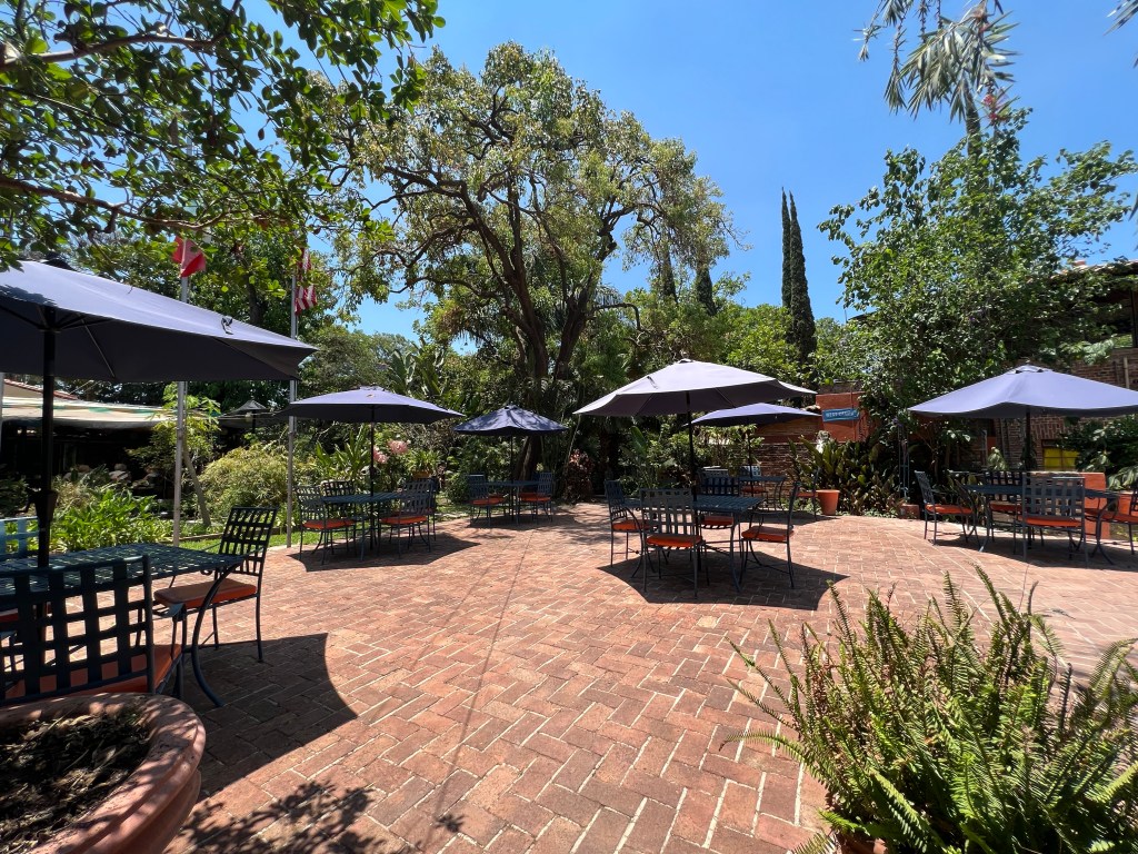
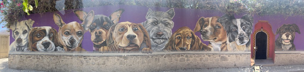
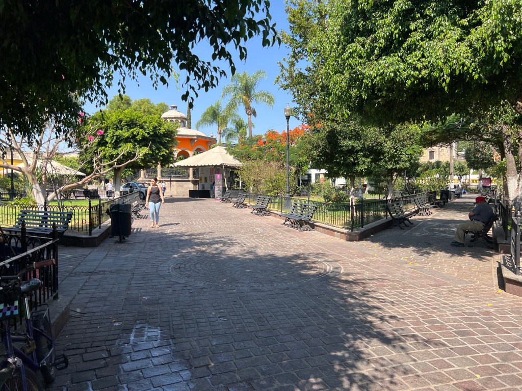
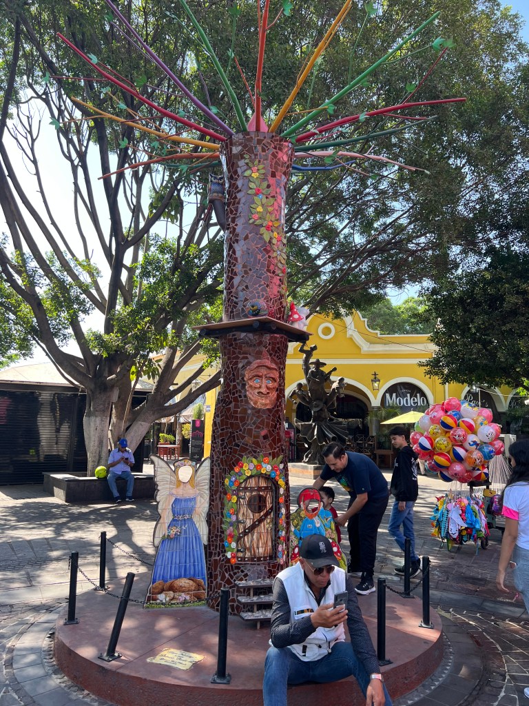
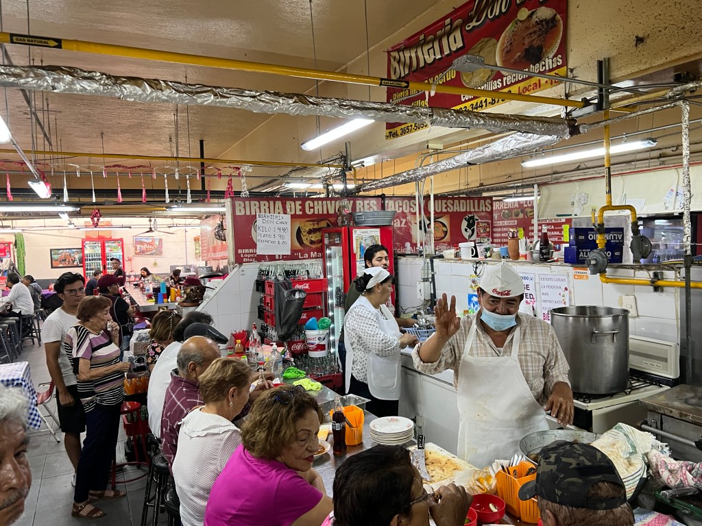
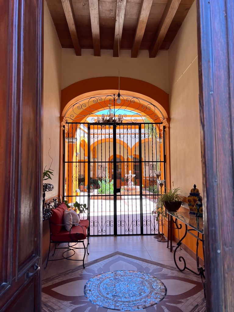
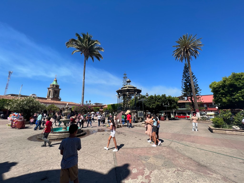
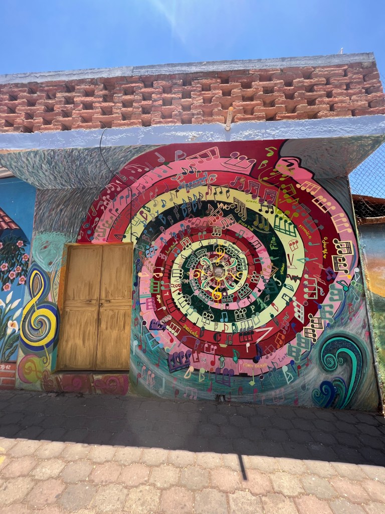
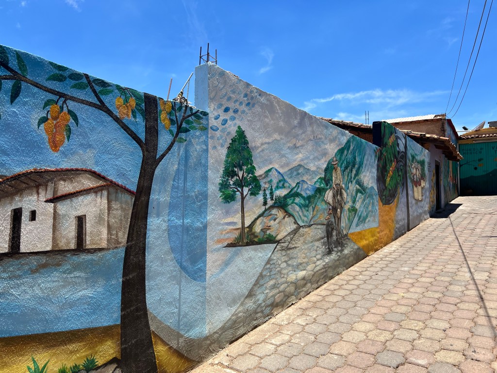
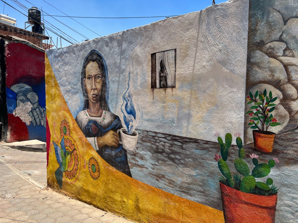
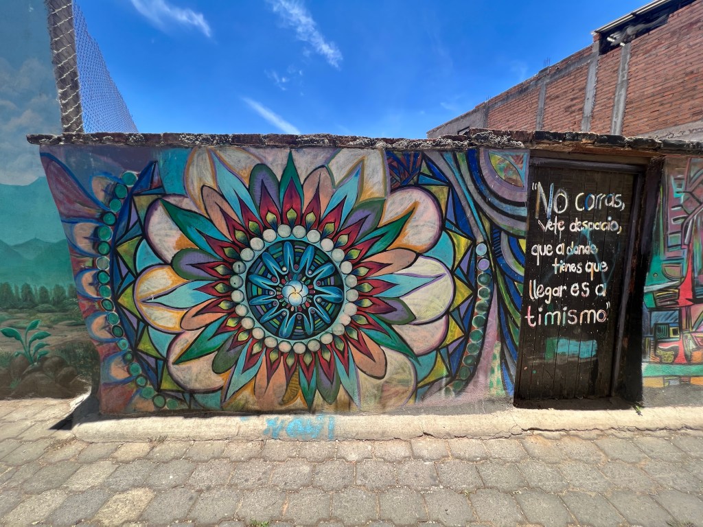
The whole area is filled with culture and history, and ticks most, if not all the checkboxes for places I would want to move to in retirement (tomorrow or in 10 years is undecided). We stayed here for two weeks to get a feel for the vibes, layout, and offerings the area has.
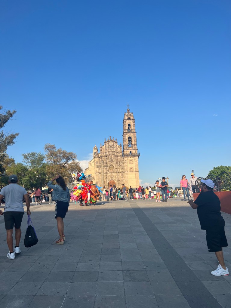
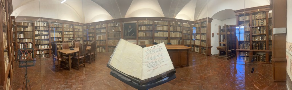
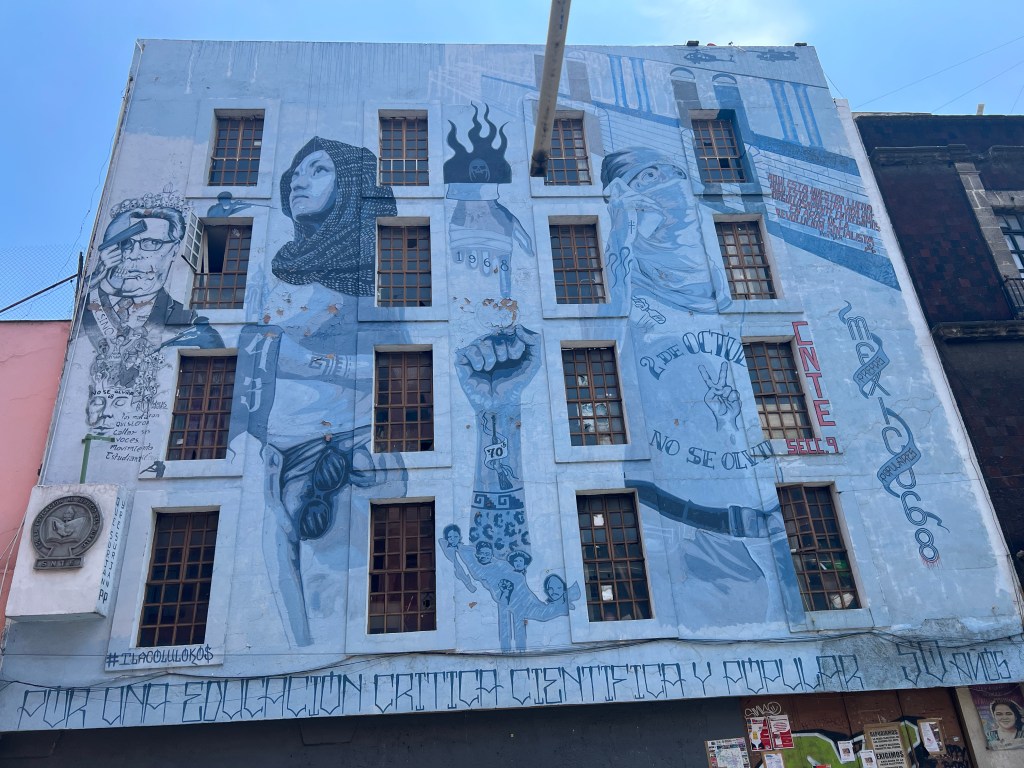
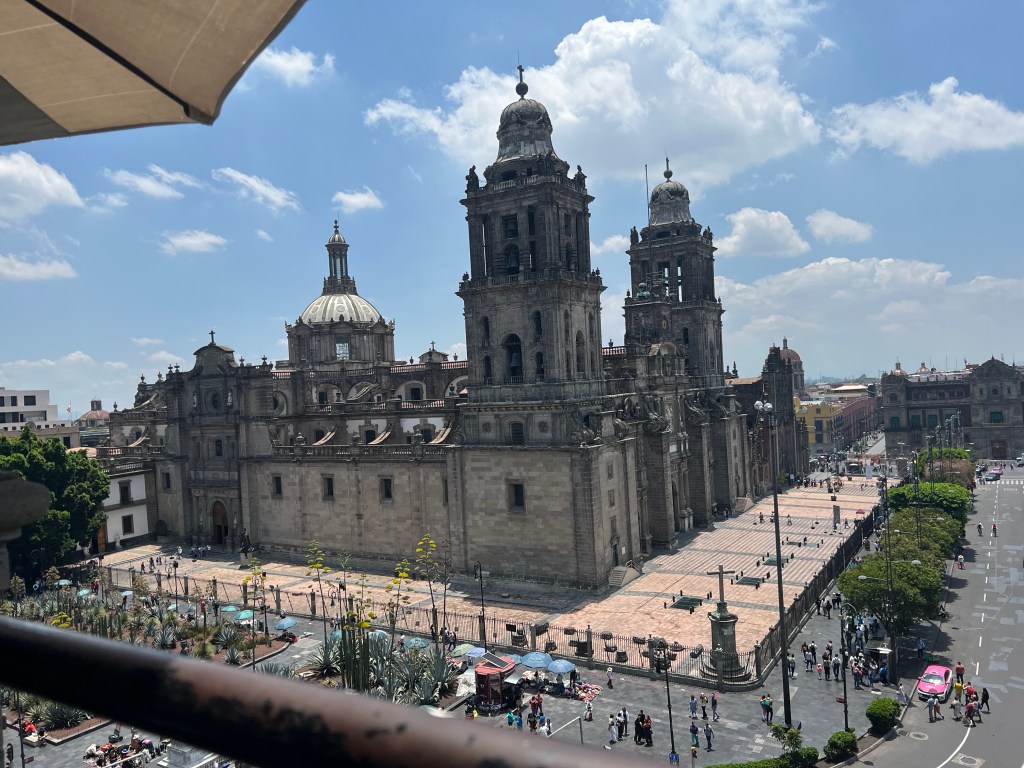
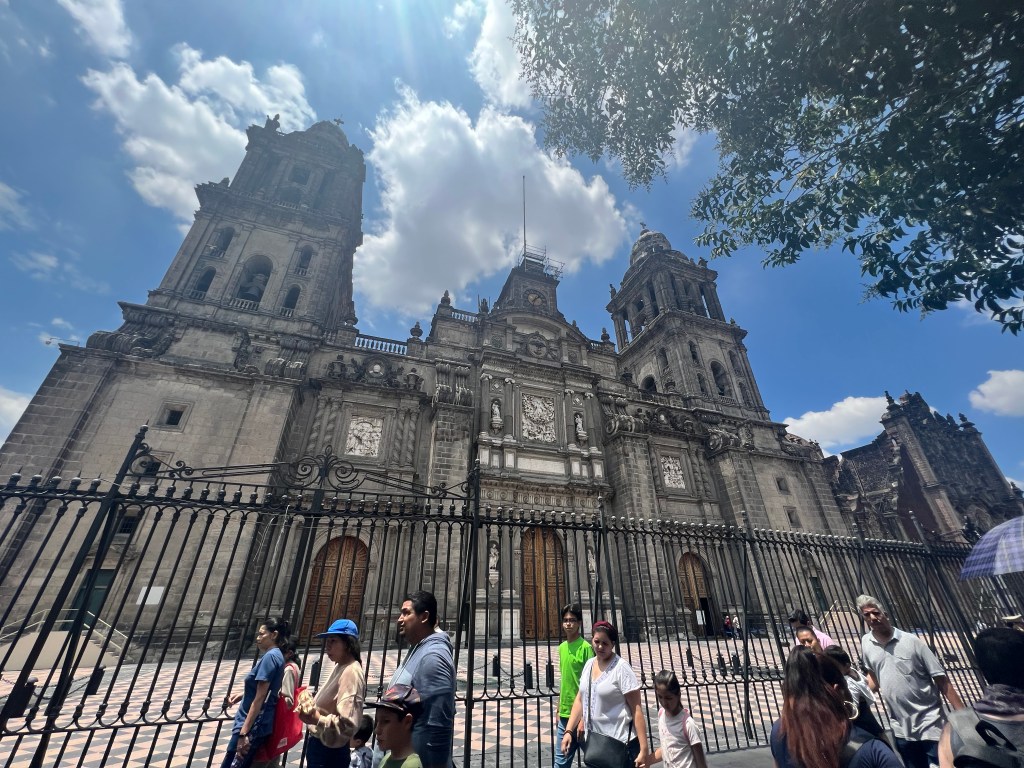
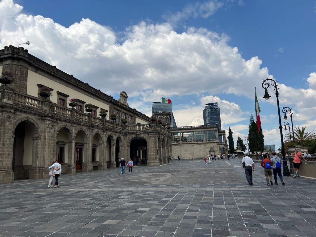
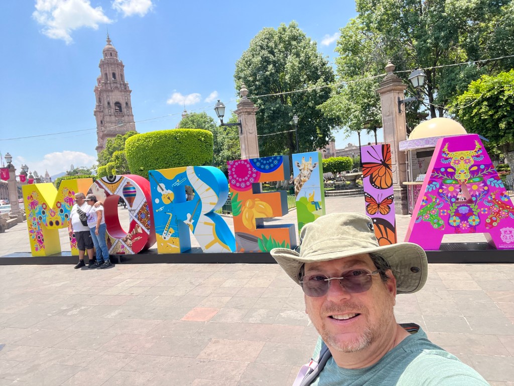
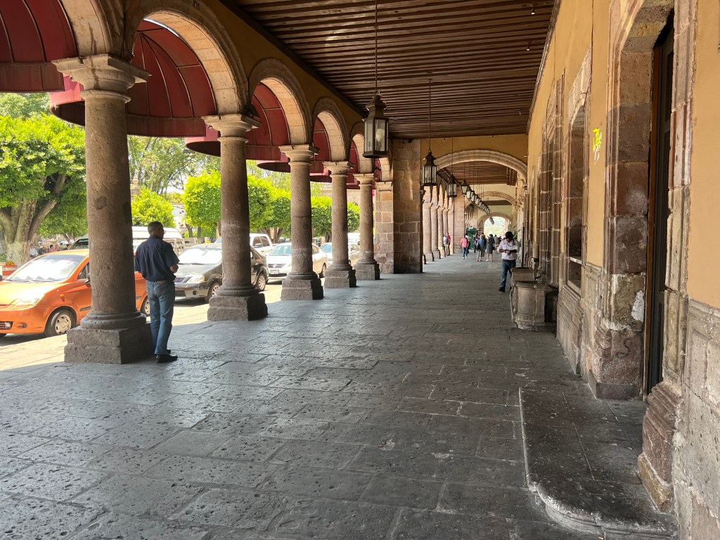
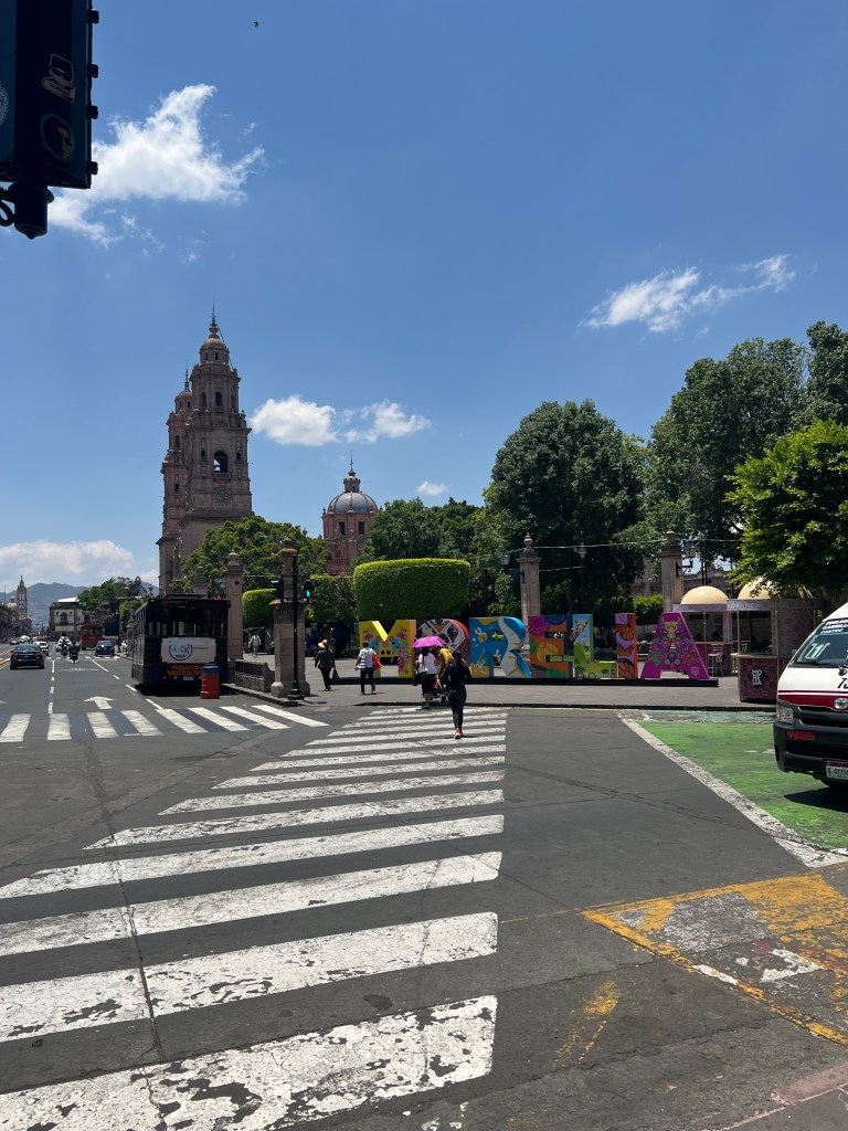
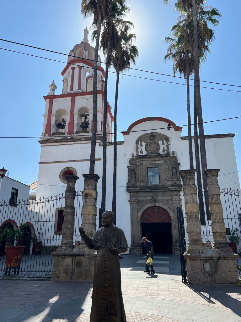
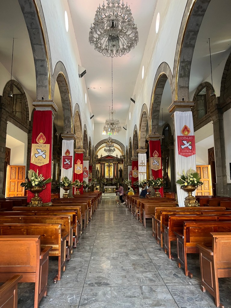
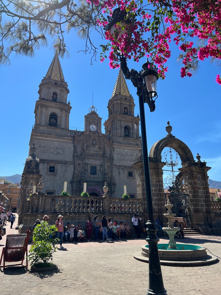
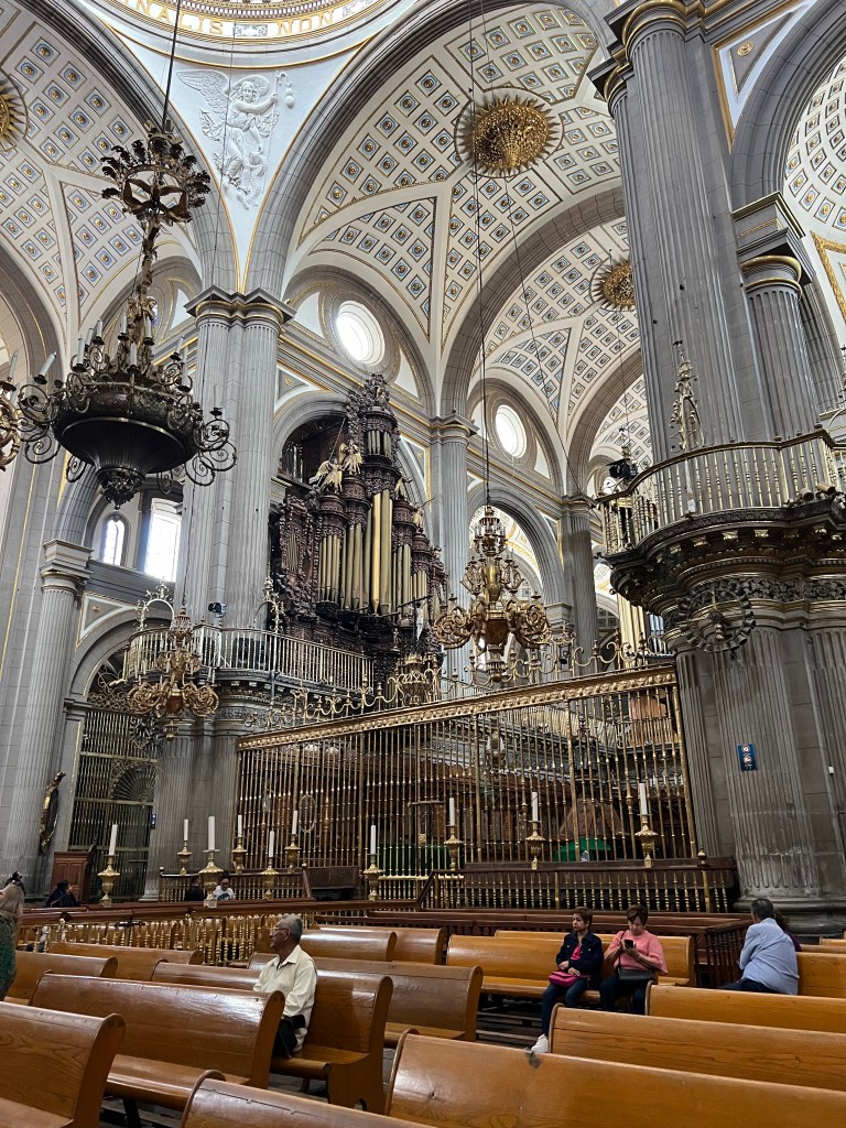
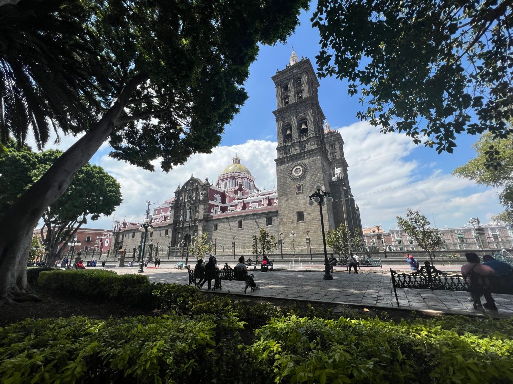
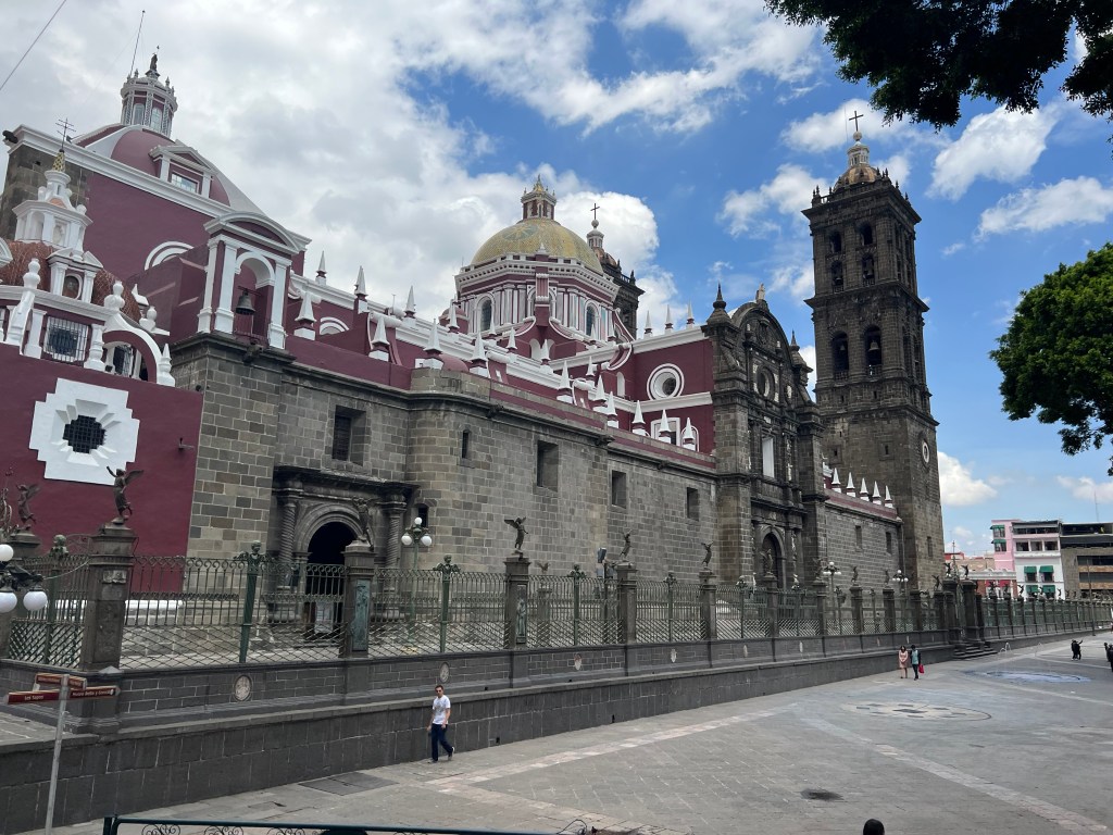
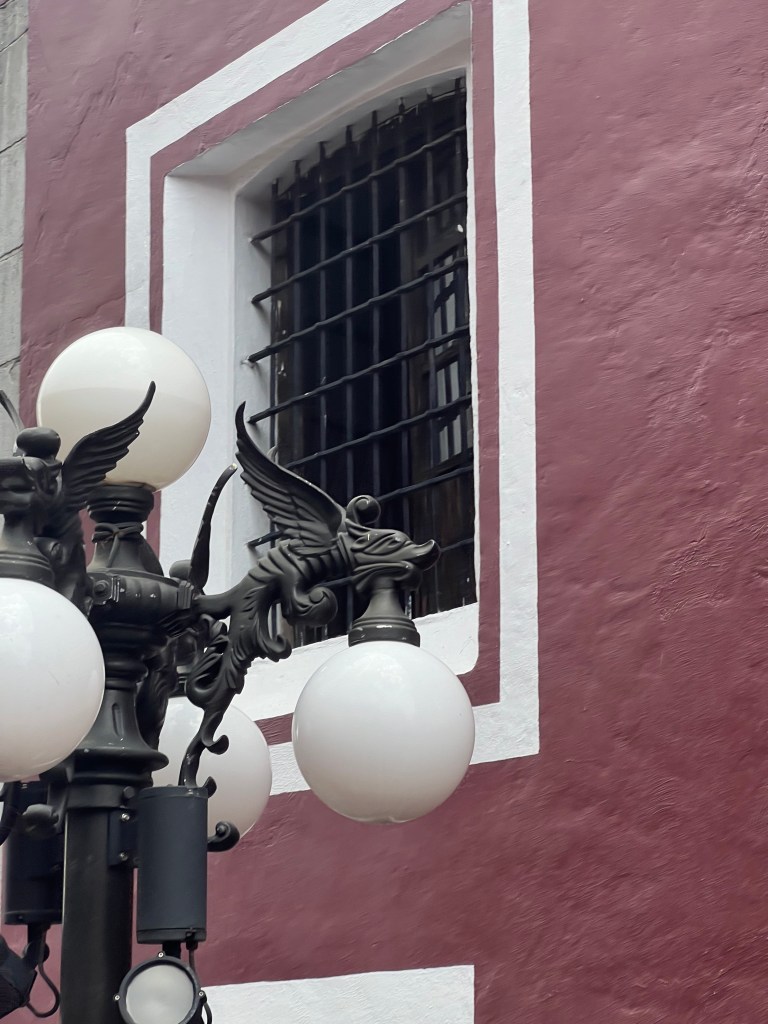
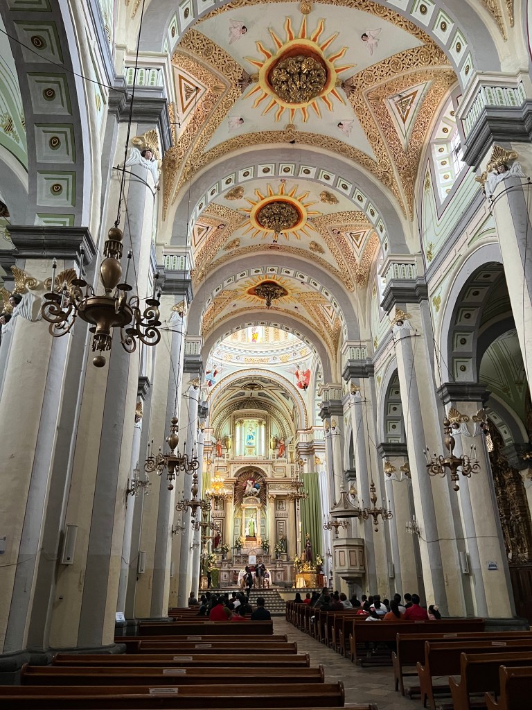
Puebla City

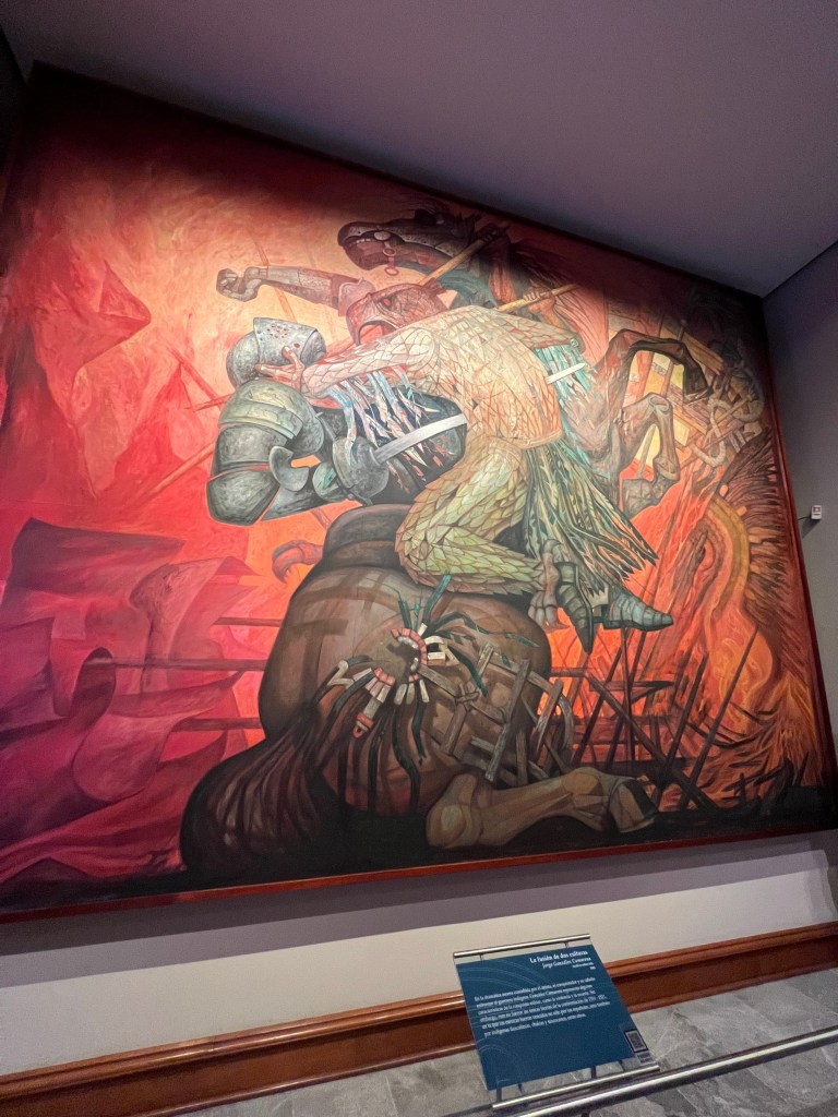
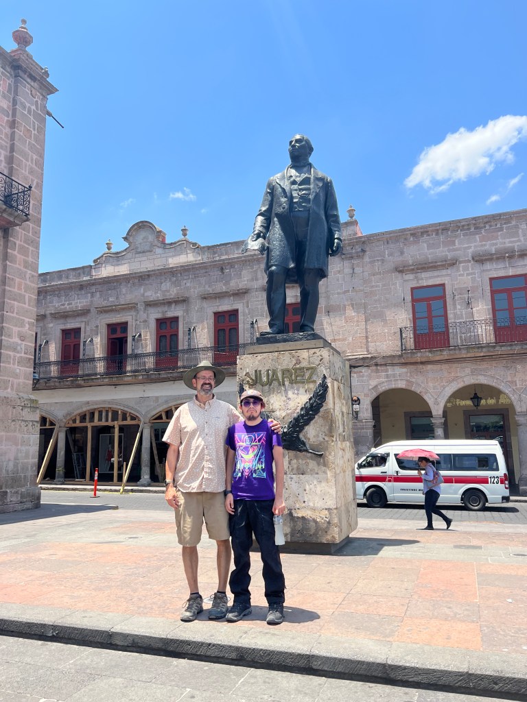
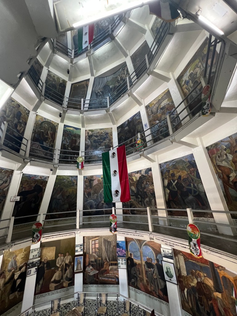
This city was the center of the battle against the invading French, and where the Mexican army beat down the superior numbers and equipped French troops. Way back when, the French came up with an idea of national and personal sovereignty. The French invaded Mexico in the early 1860s primarily to establish a Mexican monarchy under the rule of Archduke Maximilian of Austria. This invasion took place during the French intervention in Mexico (also known as the Second French intervention in Mexico) which lasted from 1861 to 1867. France sought to exert influence in Mexico and gain control over the country’s affairs, but the invasion ultimately faced resistance and opposition from Mexican forces led by figures like Benito Juárez, leading to the eventual withdrawal of French troops and the execution of Maximilian in 1867. This Mexican success lead to the national holiday, Cinco de Mayo.
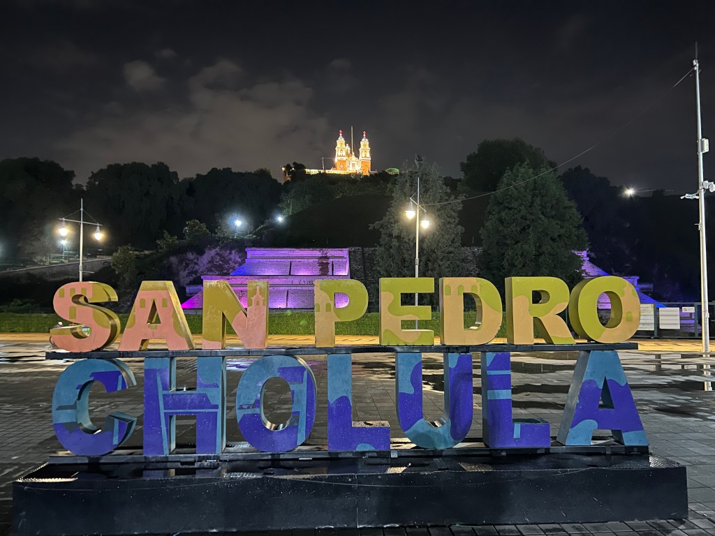
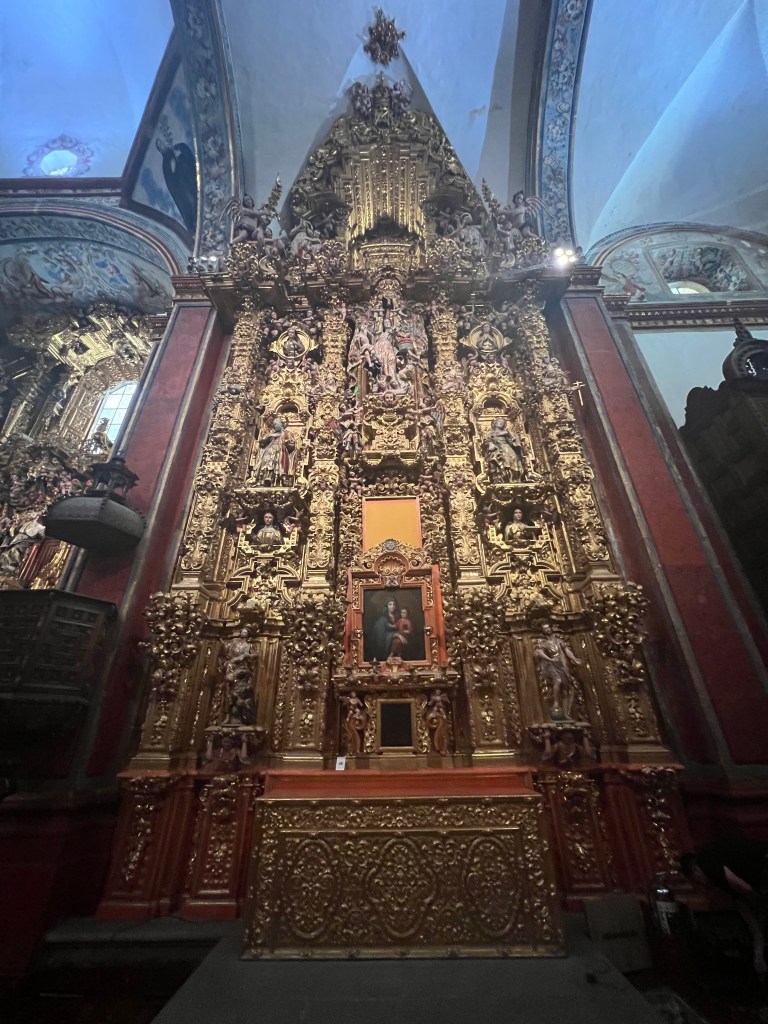
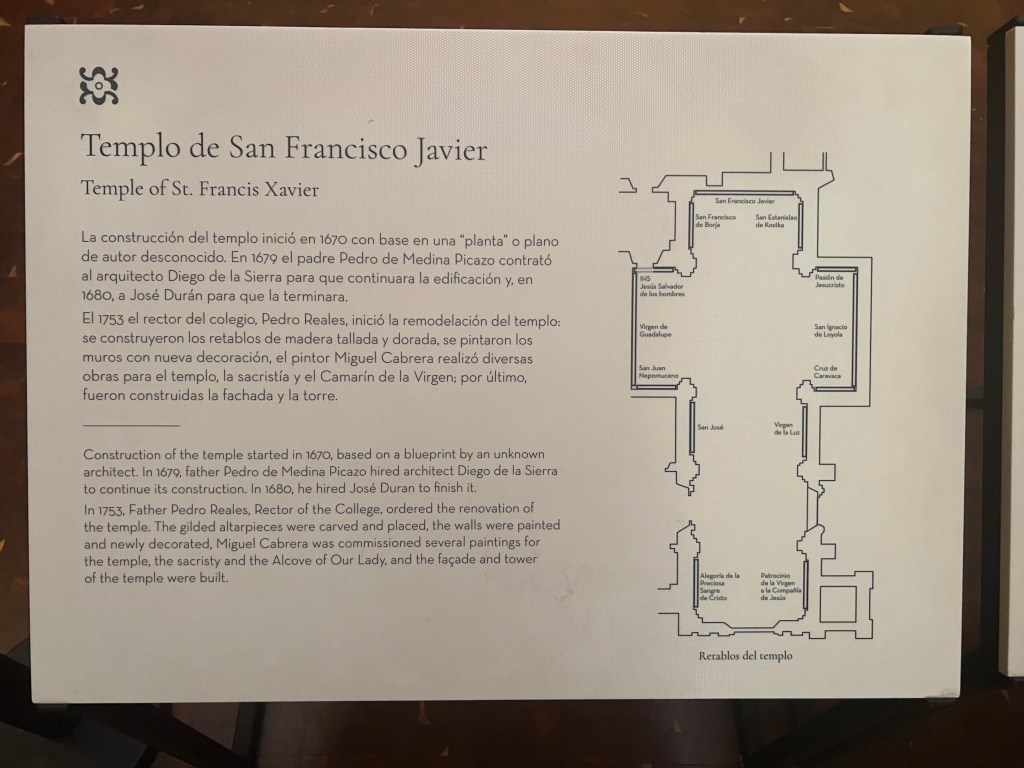
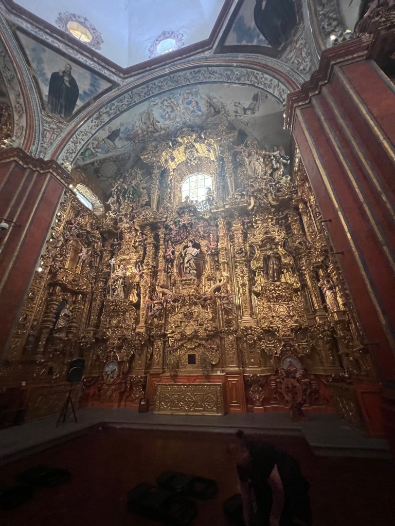
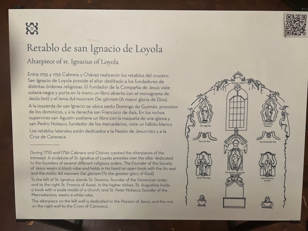
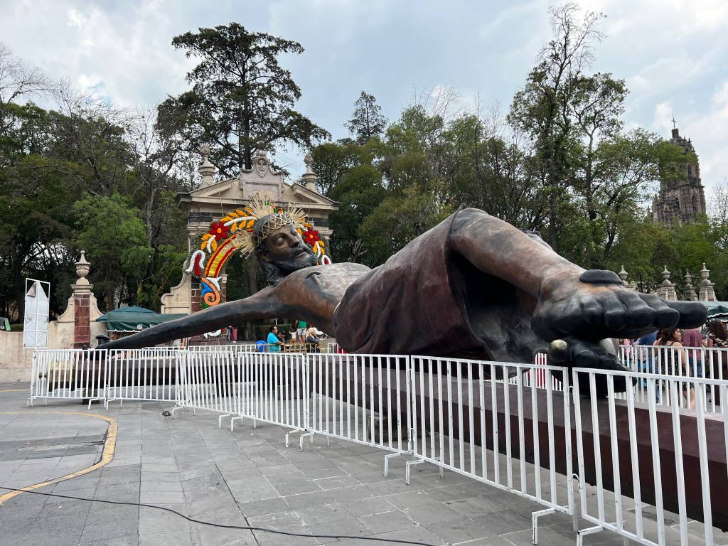
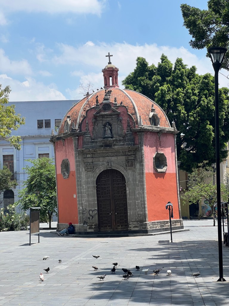
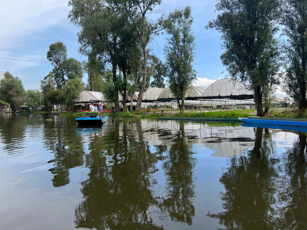
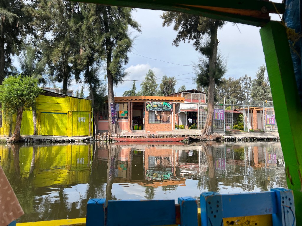
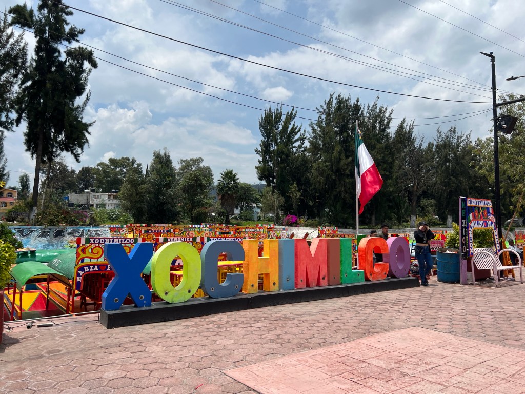
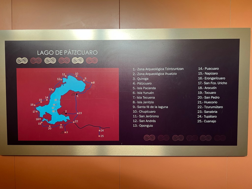
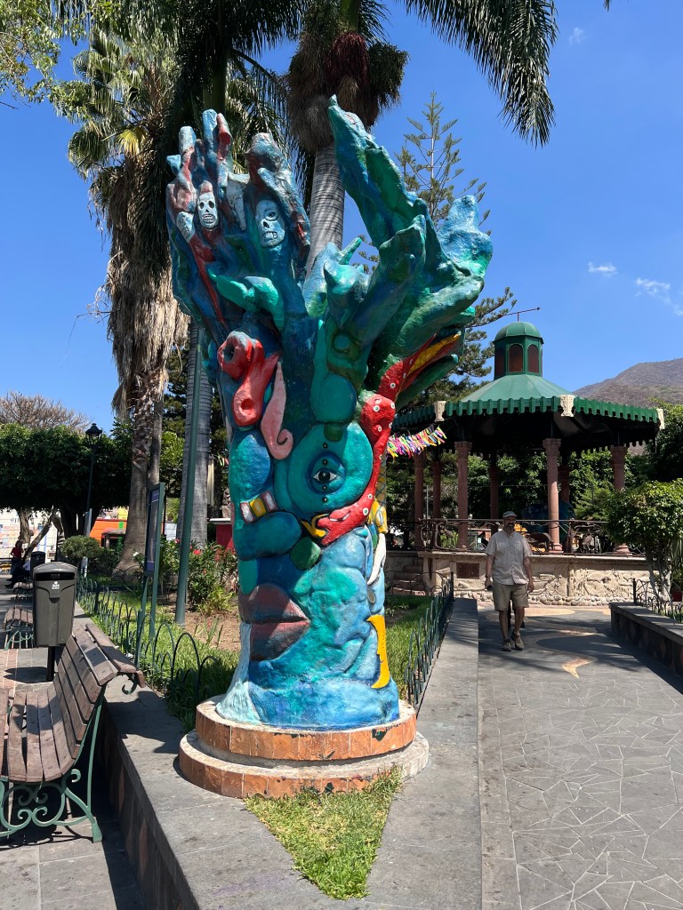
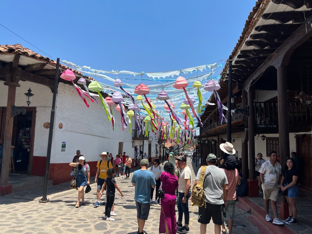
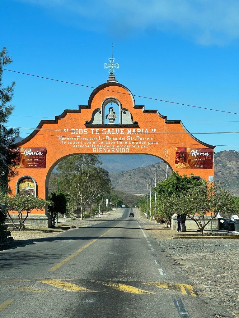
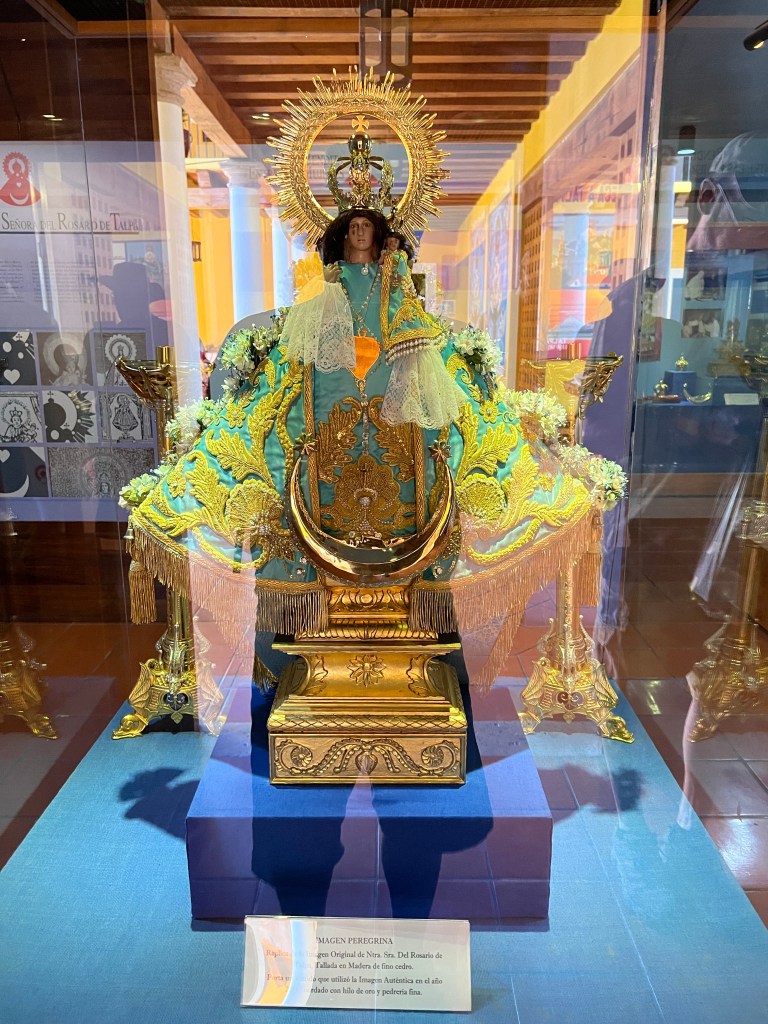
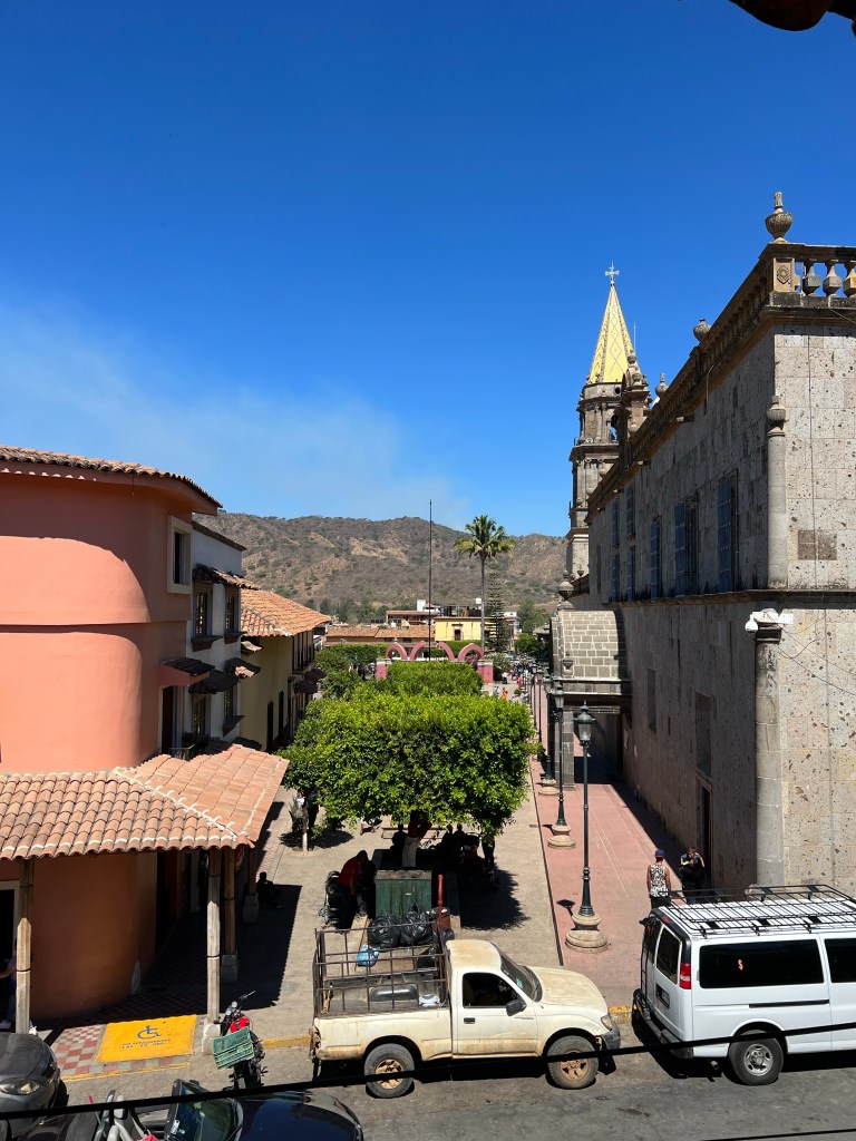
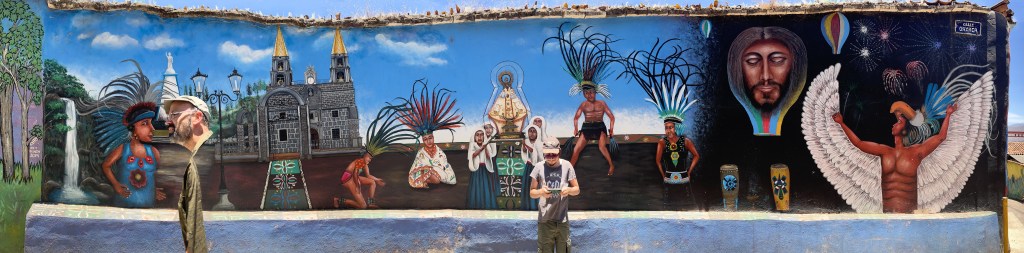
Cholula

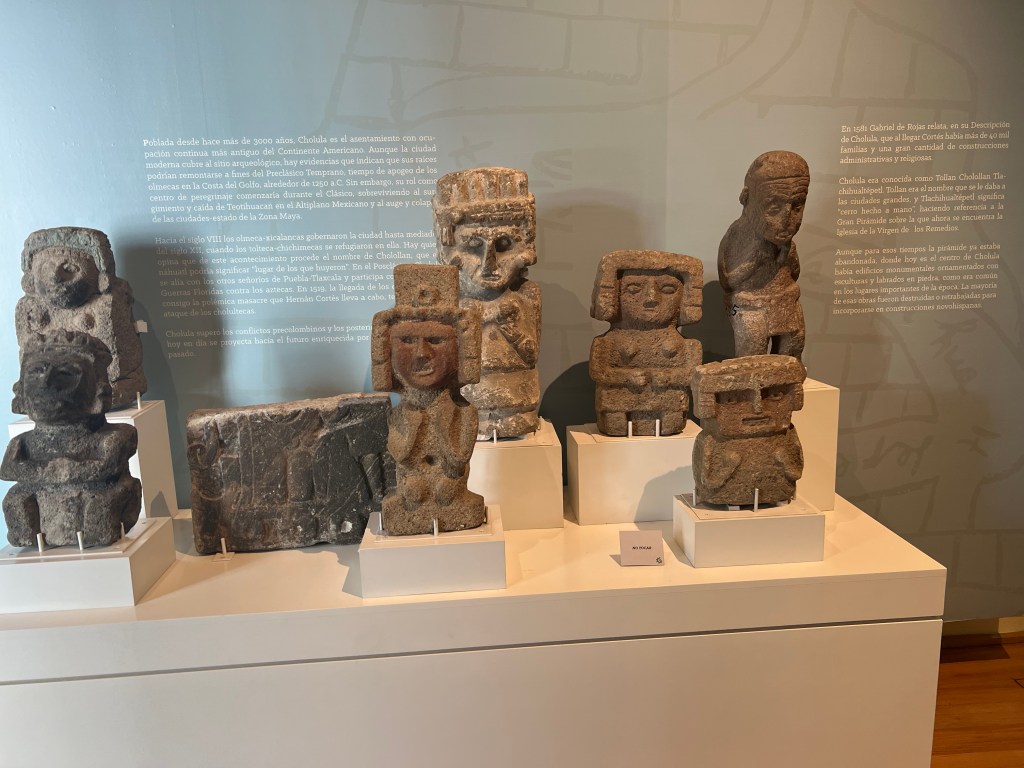
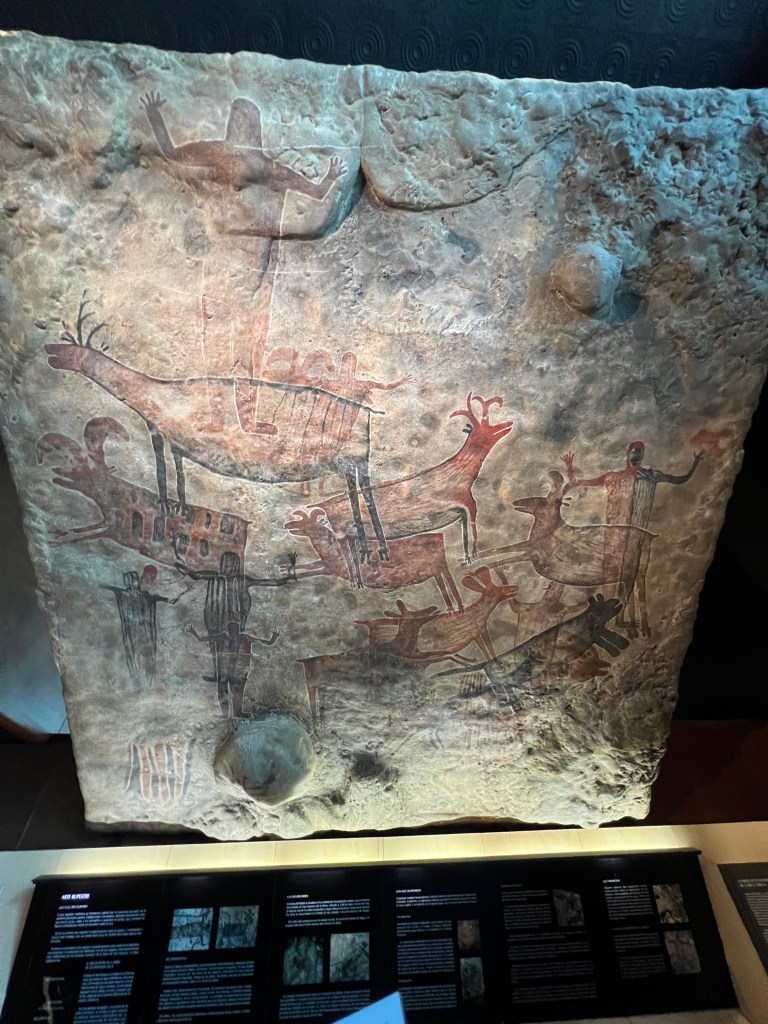
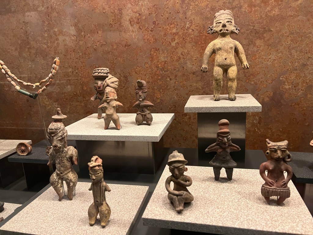
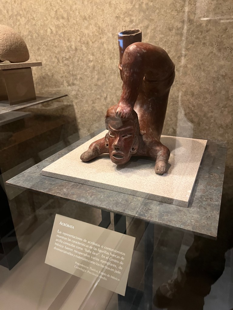
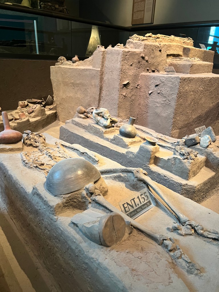
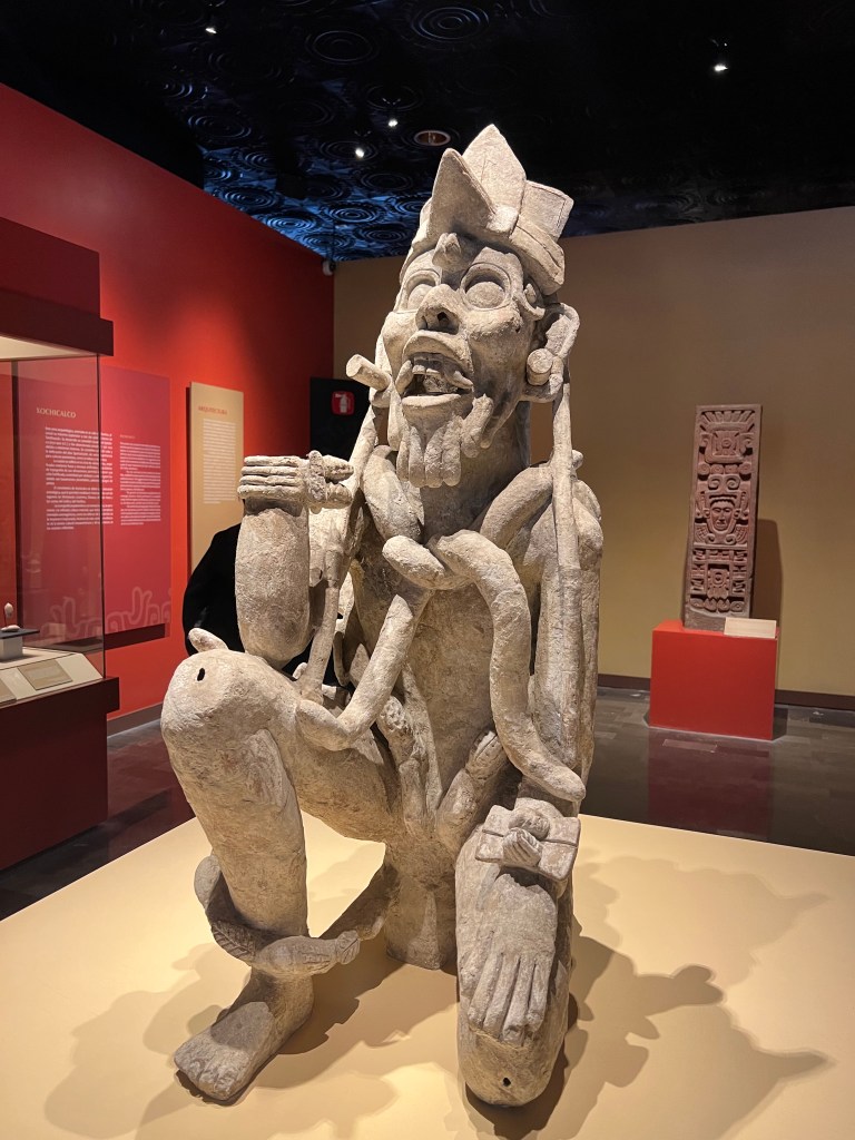
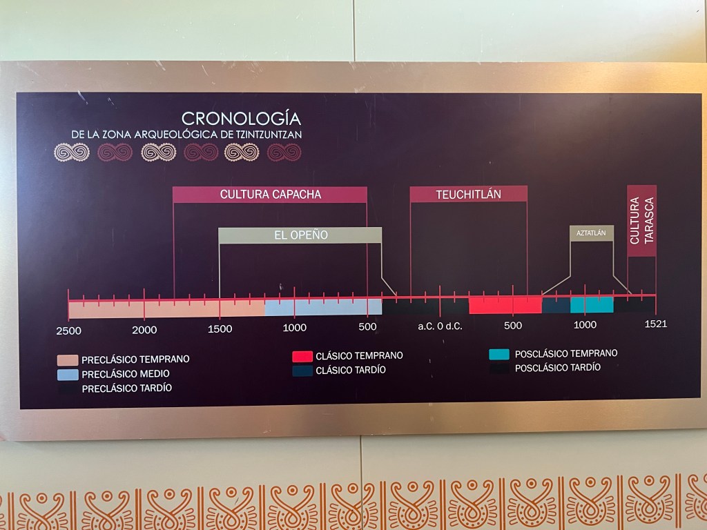
Cholula is an ancient city located in modern-day Mexico, known for its rich history and significant archaeological sites. Here’s a brief overview of its history:

  • Preclassic Period: Cholula’s history dates back to around 2000 BCE, with evidence of early settlements in the area. During the Preclassic Period (2000 BCE – 200 CE), the city began to emerge as an important center for trade and religious activities.
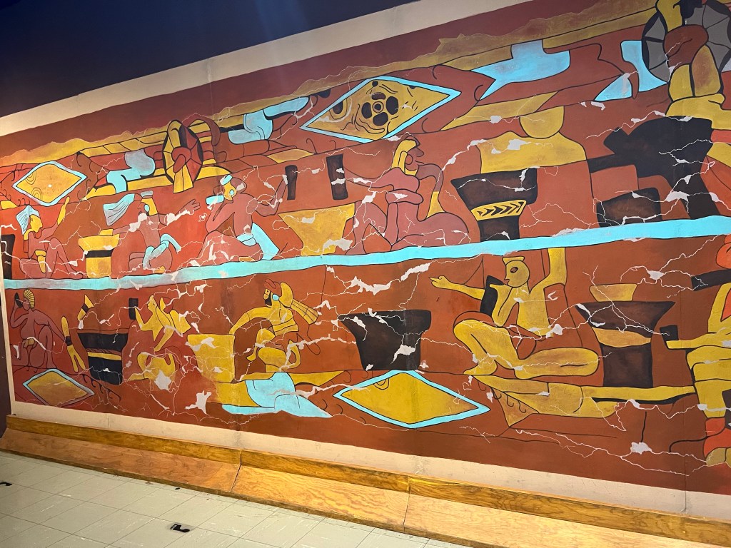
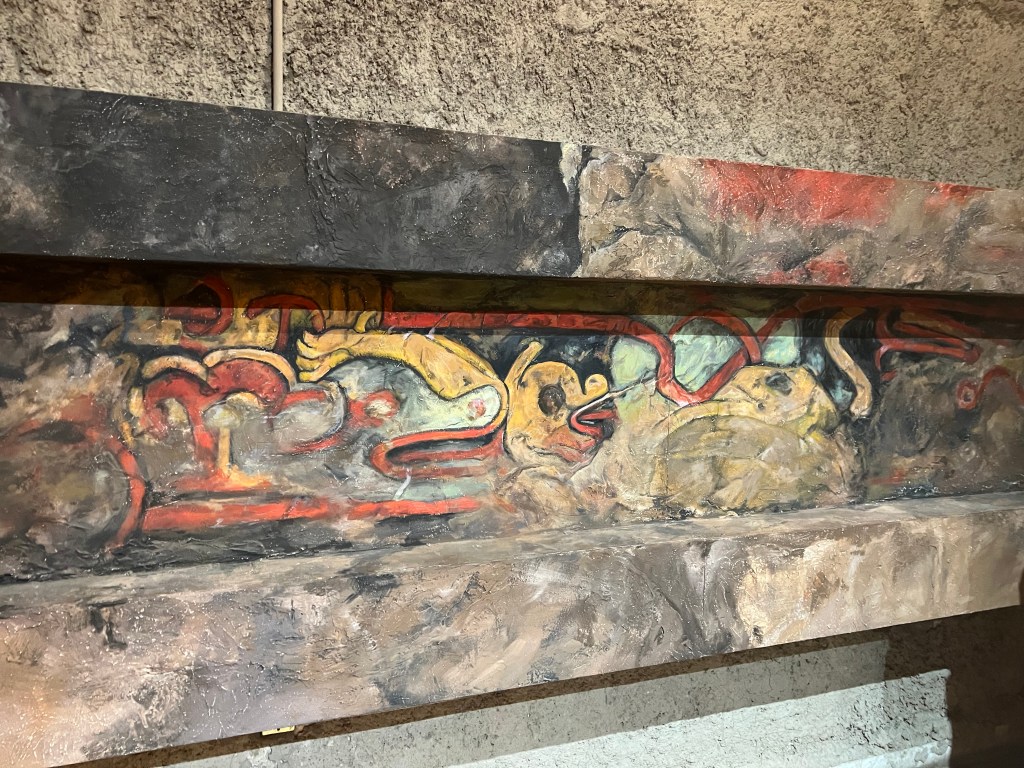
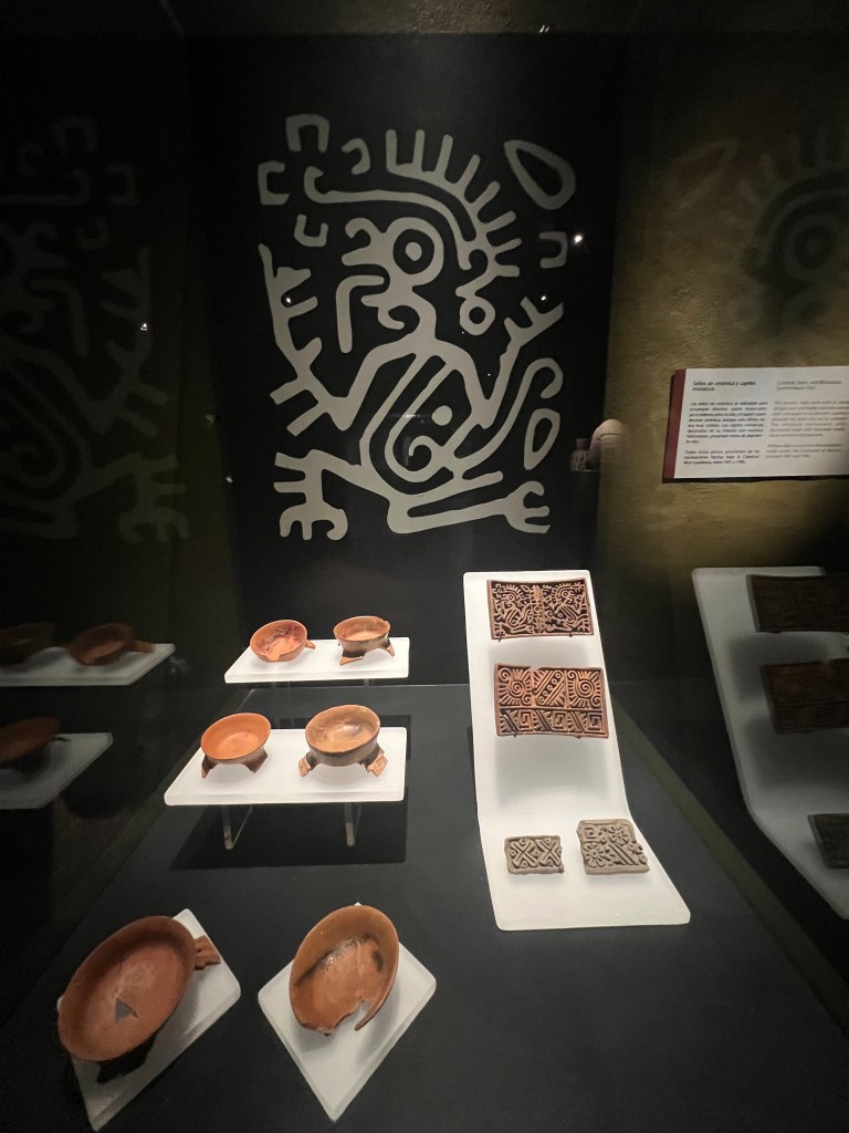
  • Classic Period: Cholula reached its peak during the Classic Period (200 CE – 900 CE) when it became a major urban center of the Mesoamerican civilization. The city’s population grew, and impressive pyramids and temples were constructed.
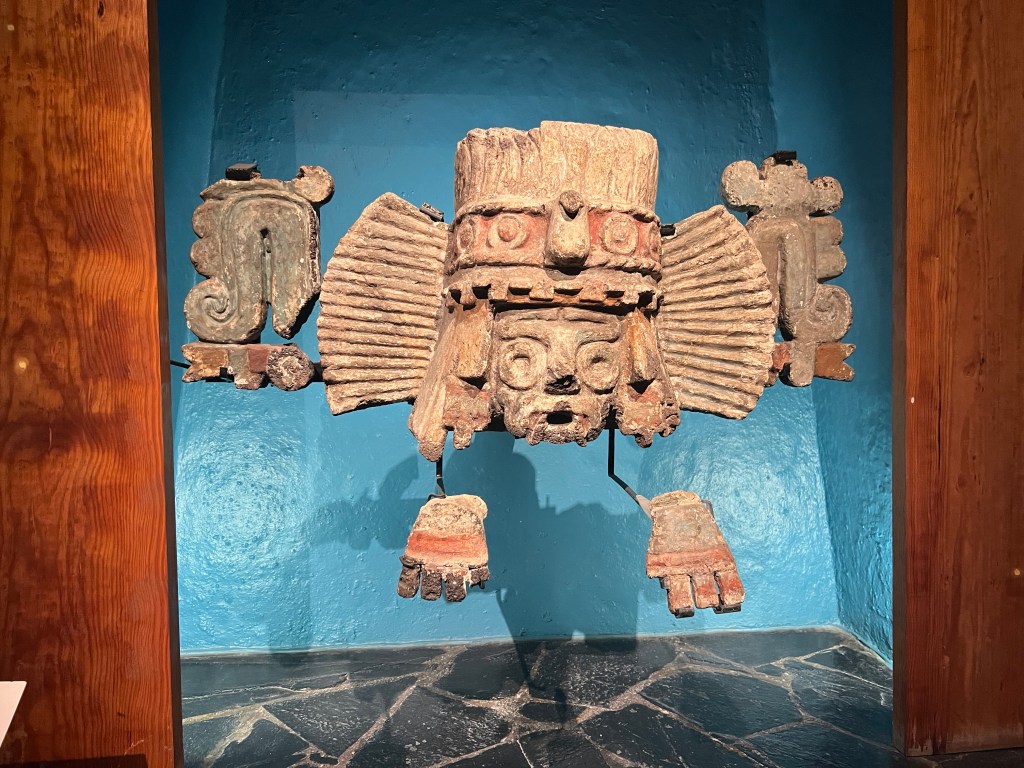
  • Toltec Influence: Around the 10th century, Cholula came under the influence of the Toltec civilization, which brought new architectural styles and religious practices to the city.
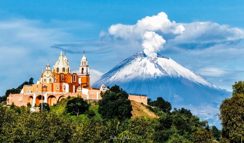
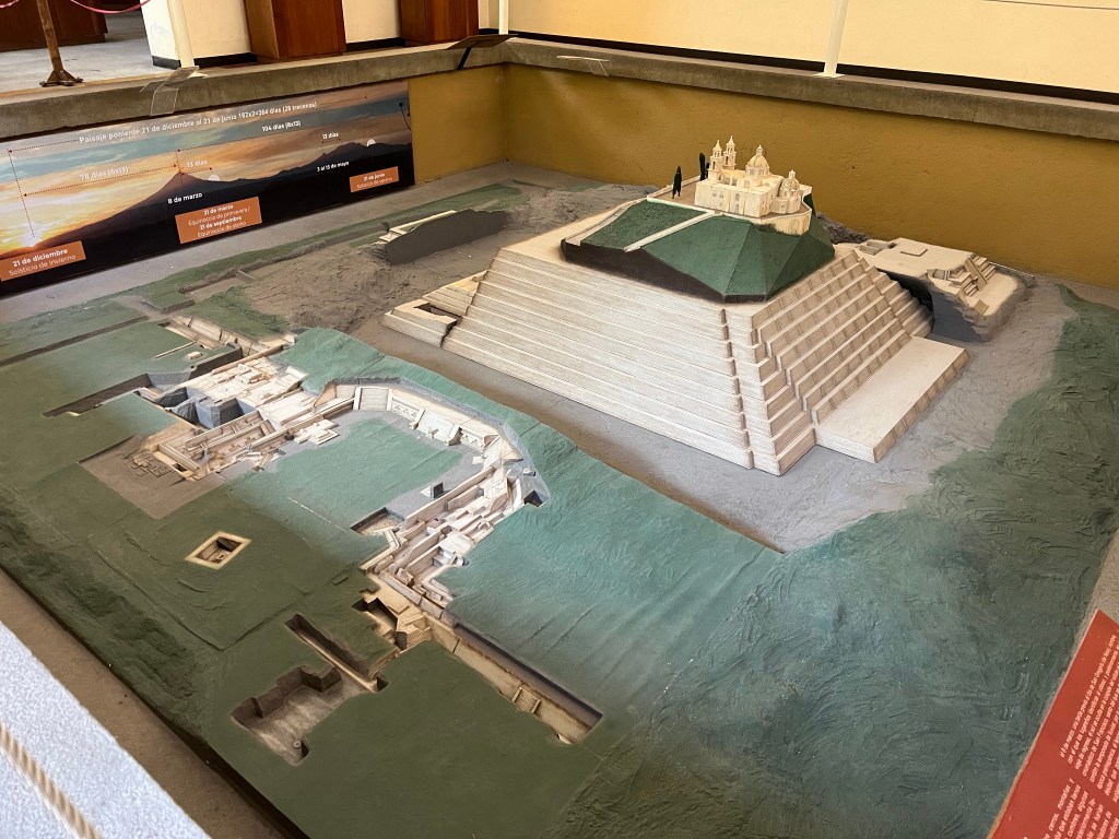
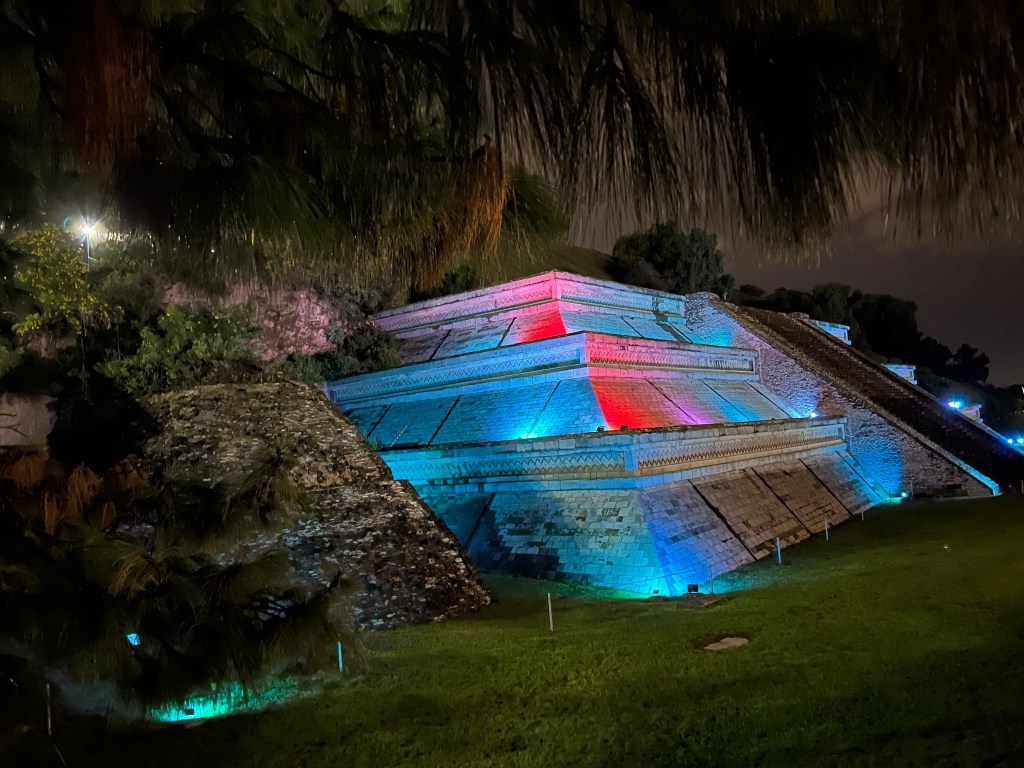
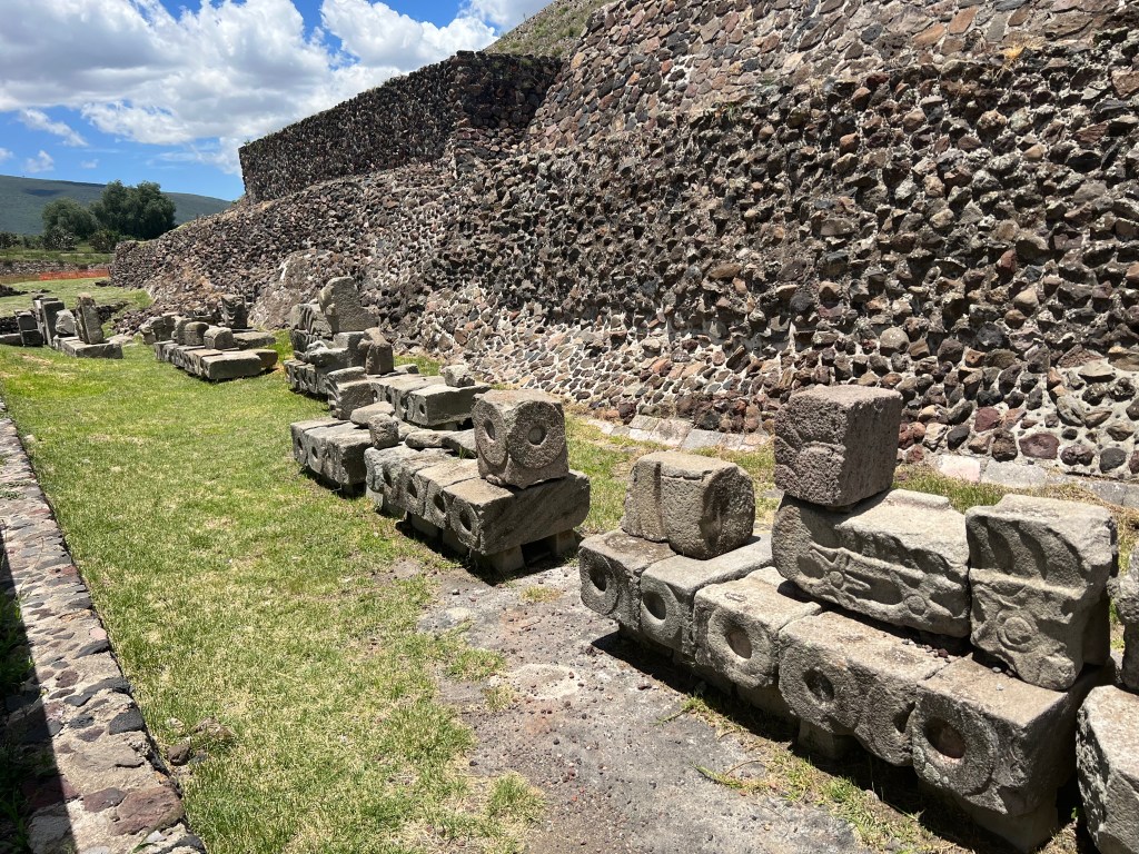
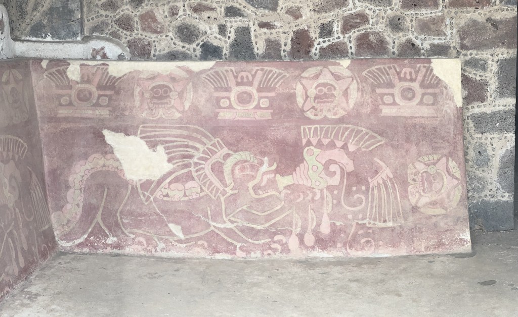
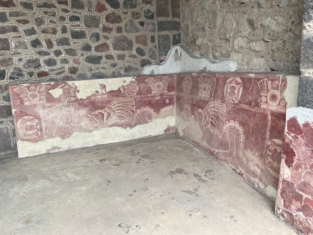
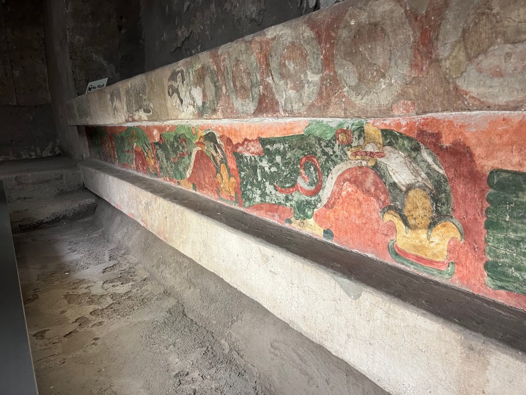
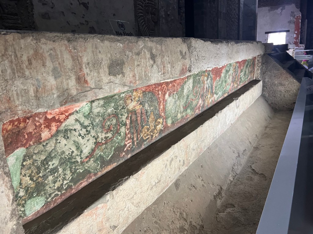
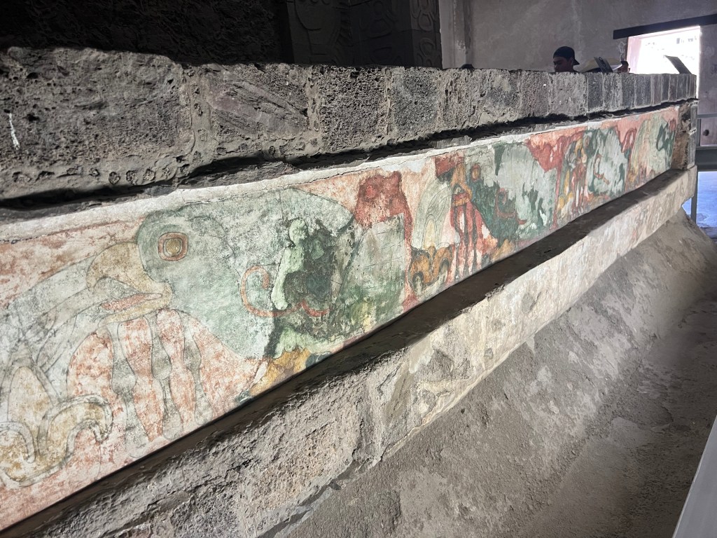
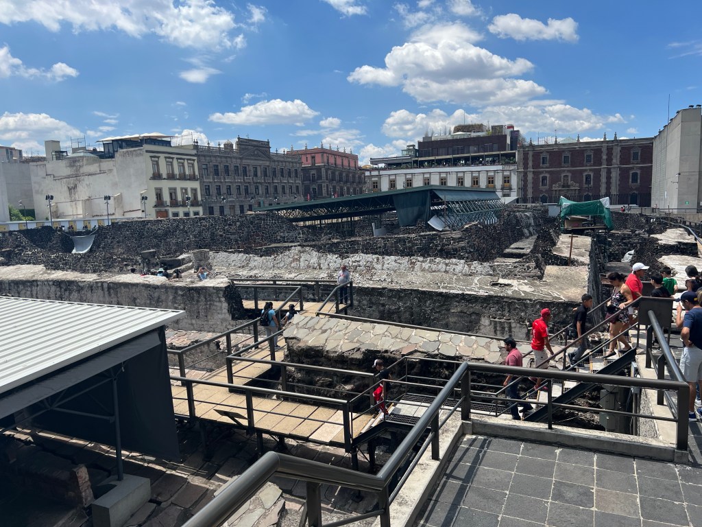
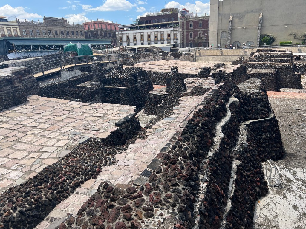
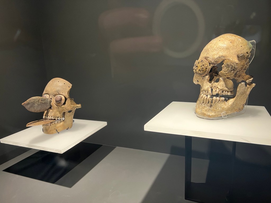
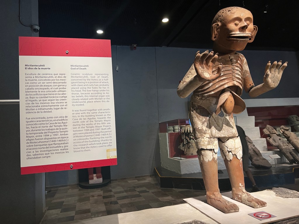
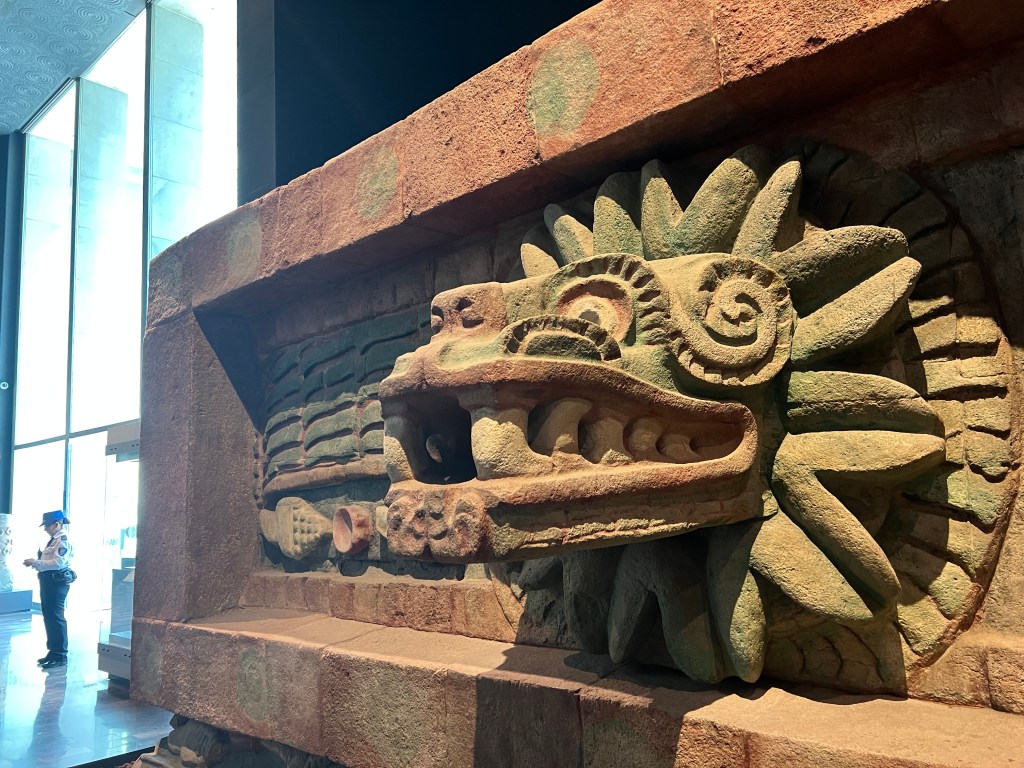
  • Aztec Period: In the 14th and 15th centuries, the Aztec Empire expanded its influence over Cholula. The city remained a prominent religious center, with its Great Pyramid, known as Tlachihualtepetl, becoming a focal point of worship.
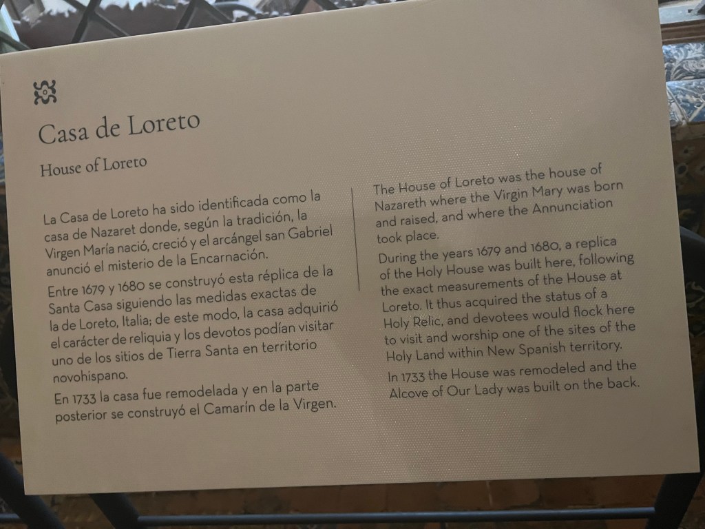
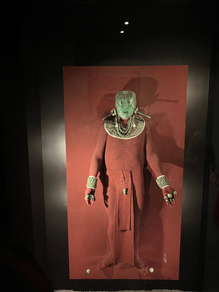
  • Spanish Conquest: In 1519, the Spanish conquistador Hernán Cortés arrived in Cholula during his expedition to Mexico. The indigenous inhabitants initially welcomed the Spaniards, but tensions escalated, leading to a violent encounter known as the “Massacre of Cholula.” The Spanish and their indigenous allies attacked and destroyed much of the city, including many of its religious structures.
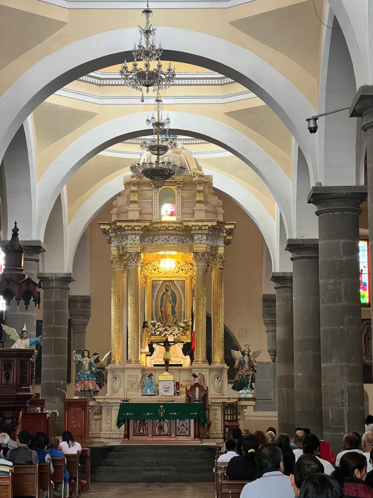
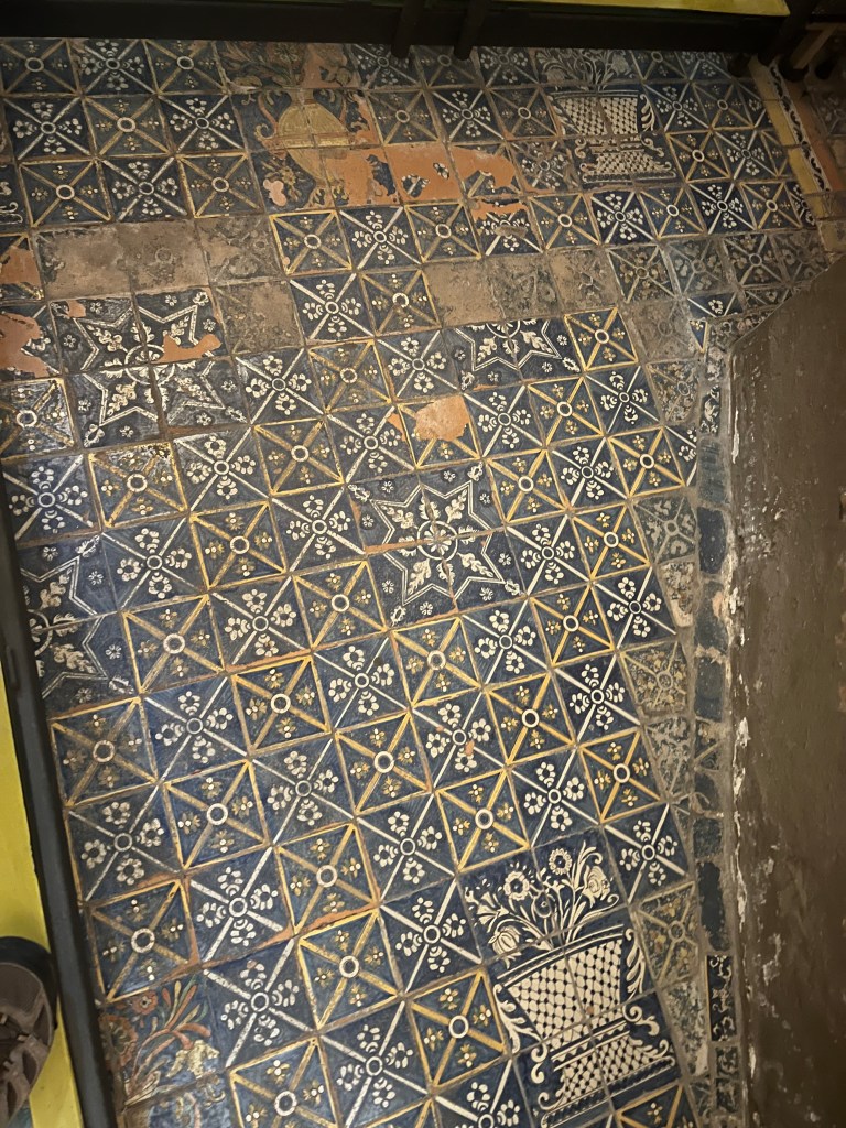
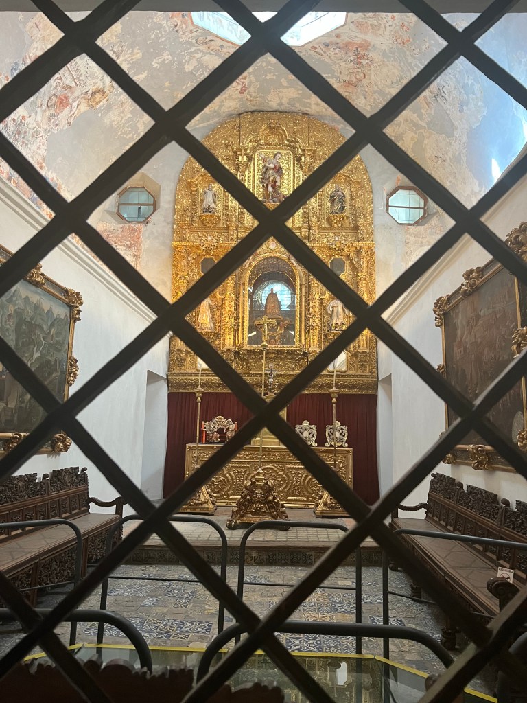
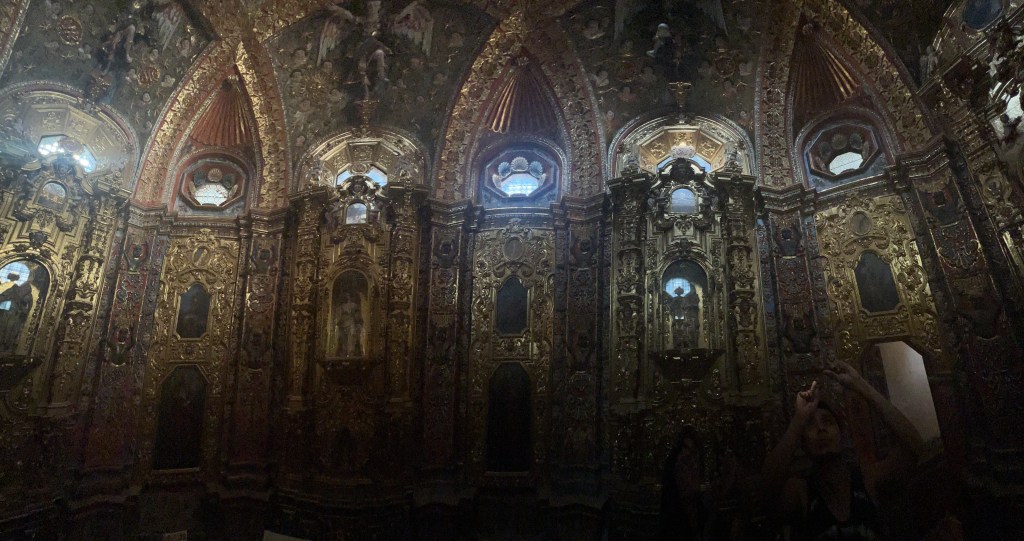
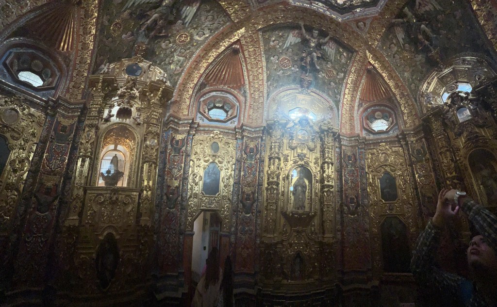
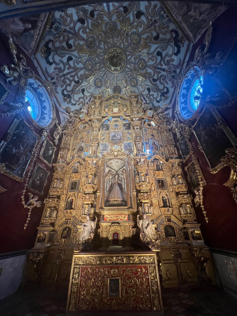
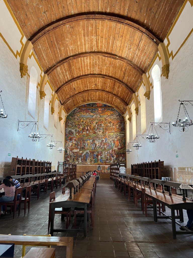
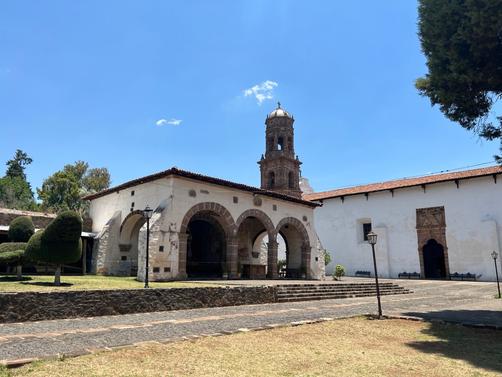
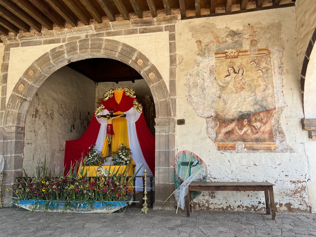
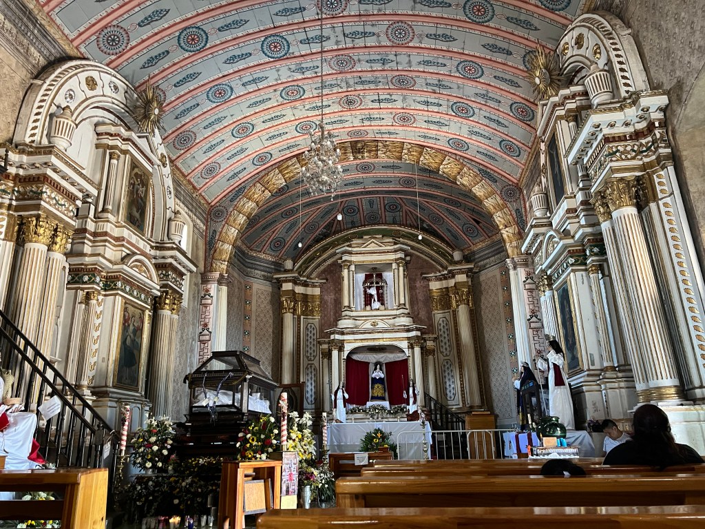
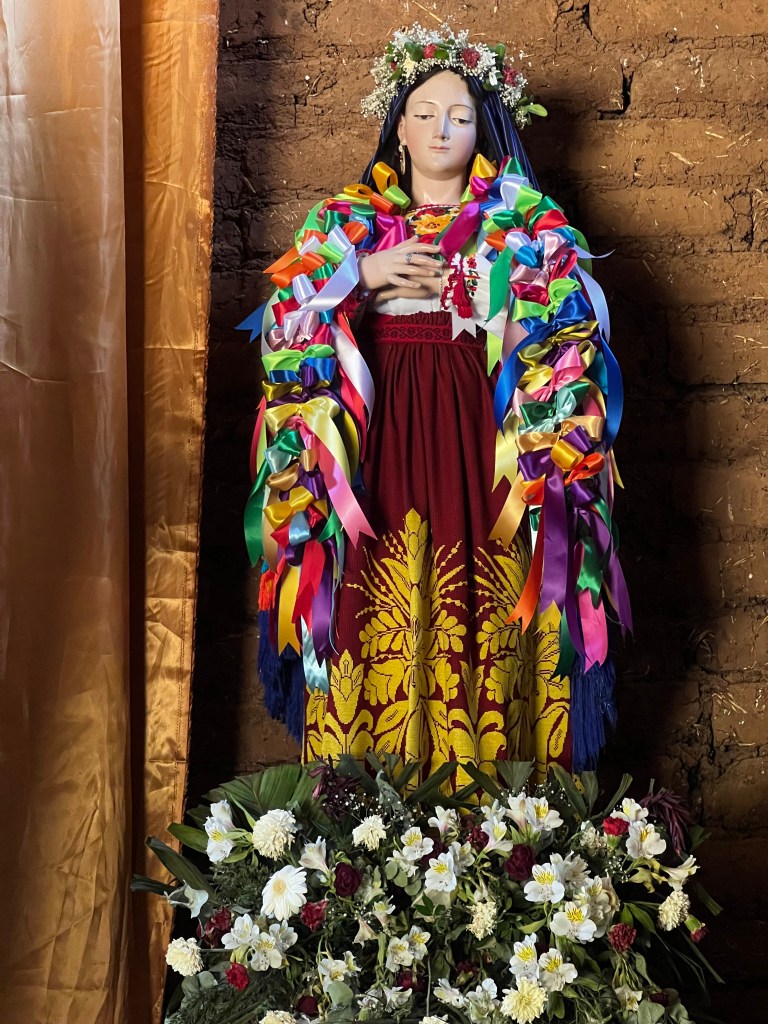
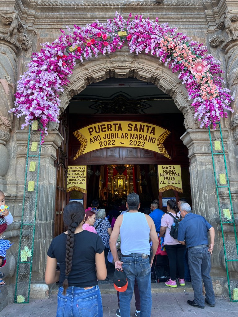
  • Colonial Period: After the Spanish conquest, Cholula was rebuilt as a colonial town, and the Spanish constructed churches and buildings atop the pre-existing indigenous structures. The city became an important center for evangelization and continued to be a cultural and religious hub.
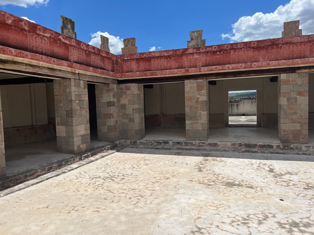
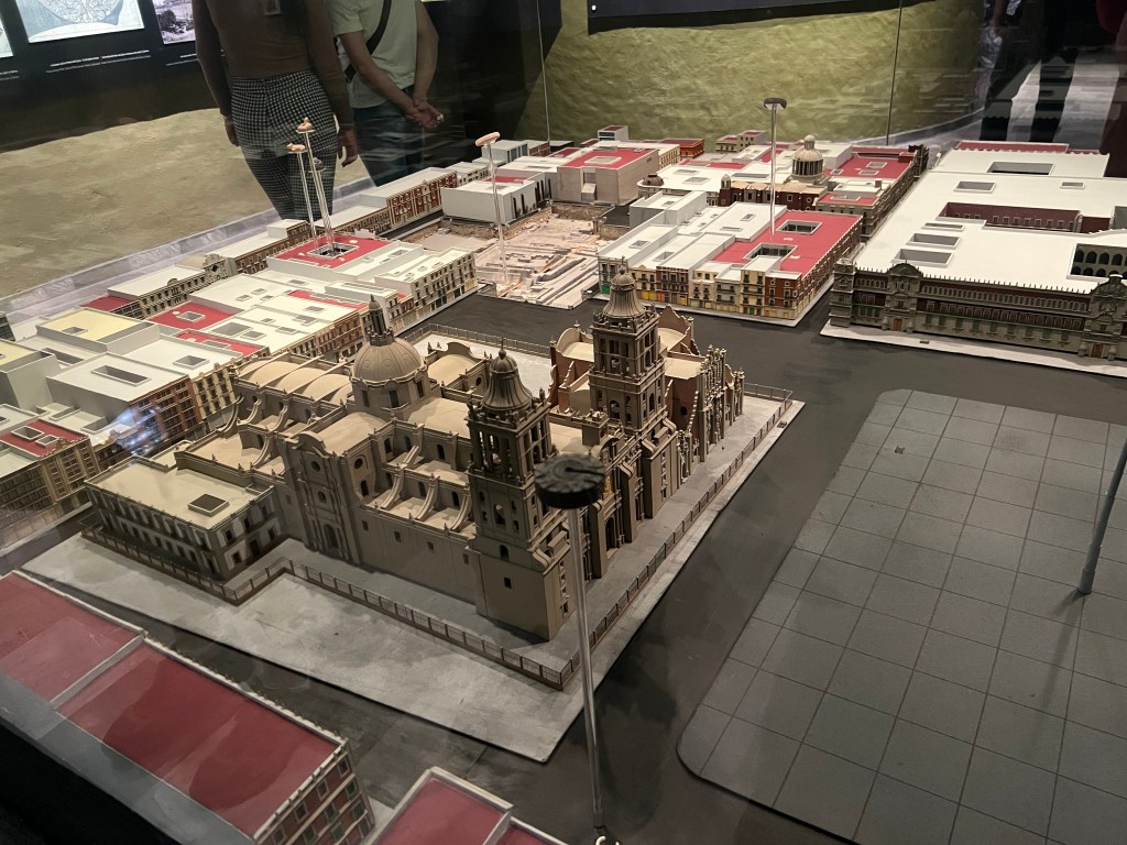
  • Modern Times: Today, Cholula is a vibrant city in the state of Puebla, Mexico. Its archaeological sites, including the Great Pyramid, continue to be important tourist attractions and provide valuable insights into the ancient history of the region. Cholula remains a place where ancient traditions and modern life intersect, celebrating its cultural heritage and historical significance.

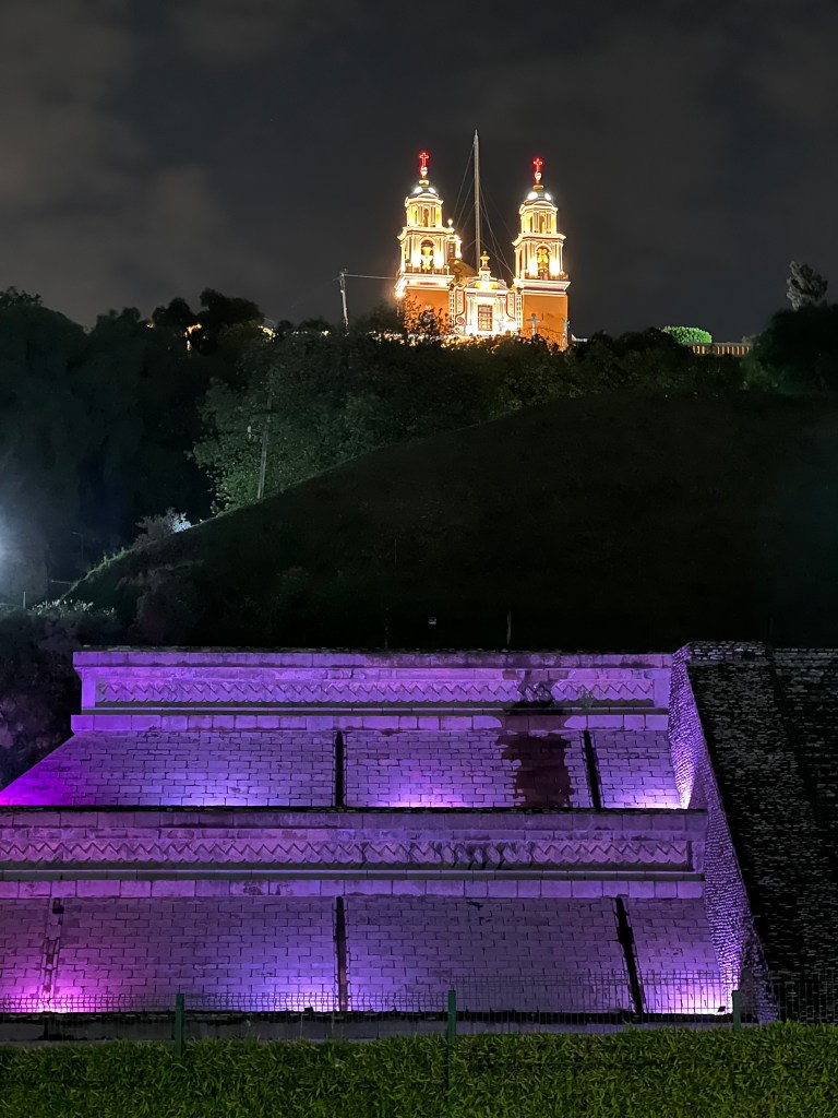
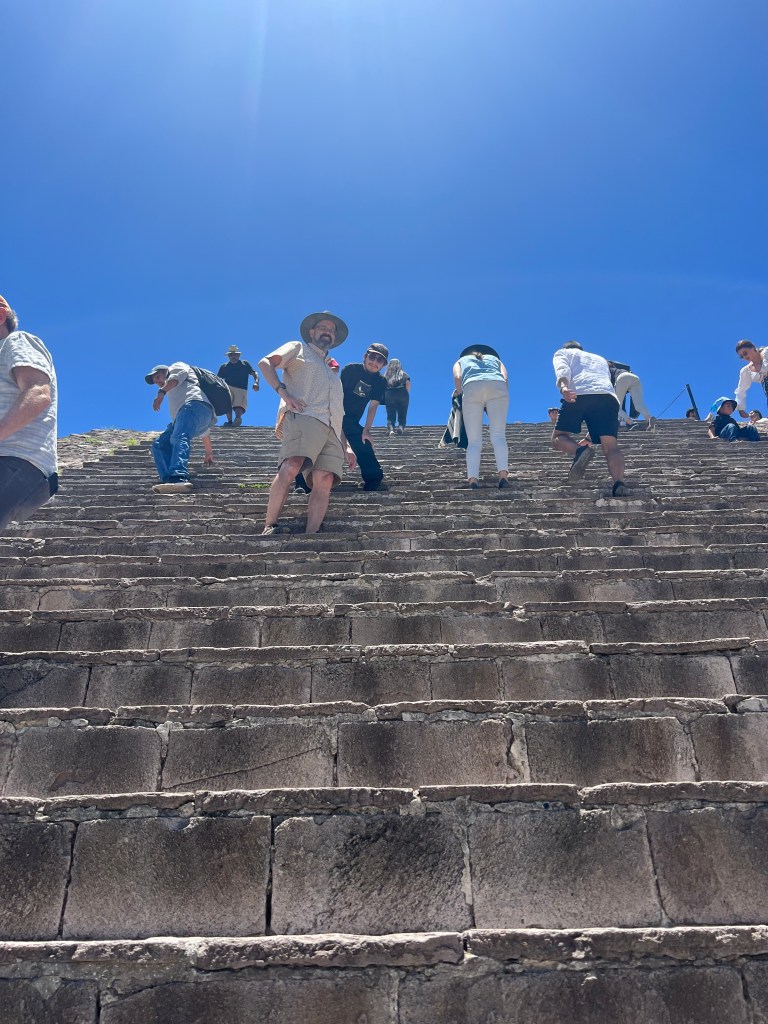
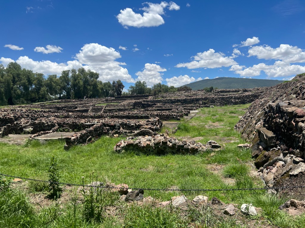
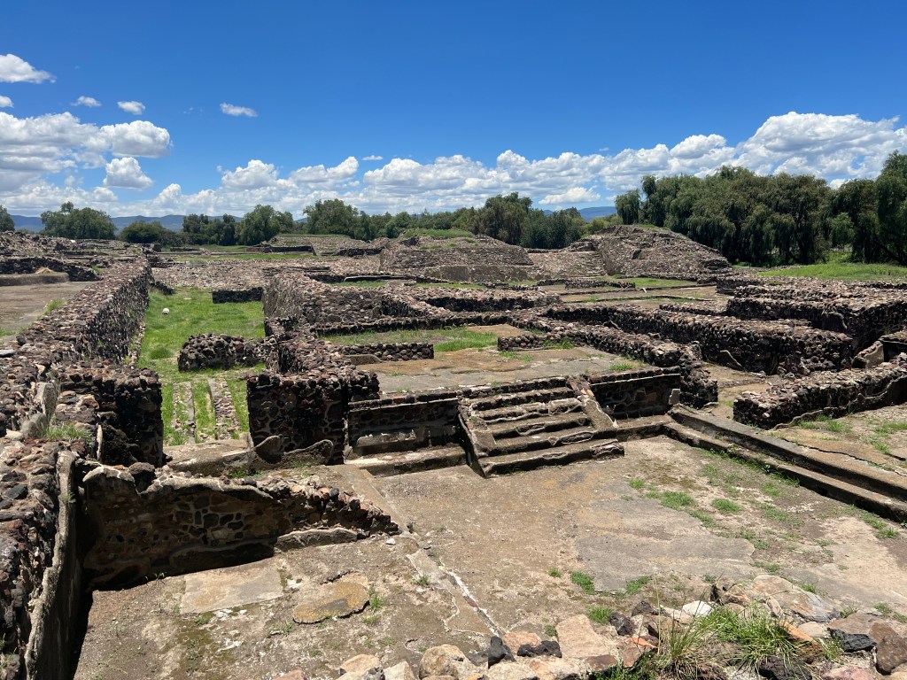
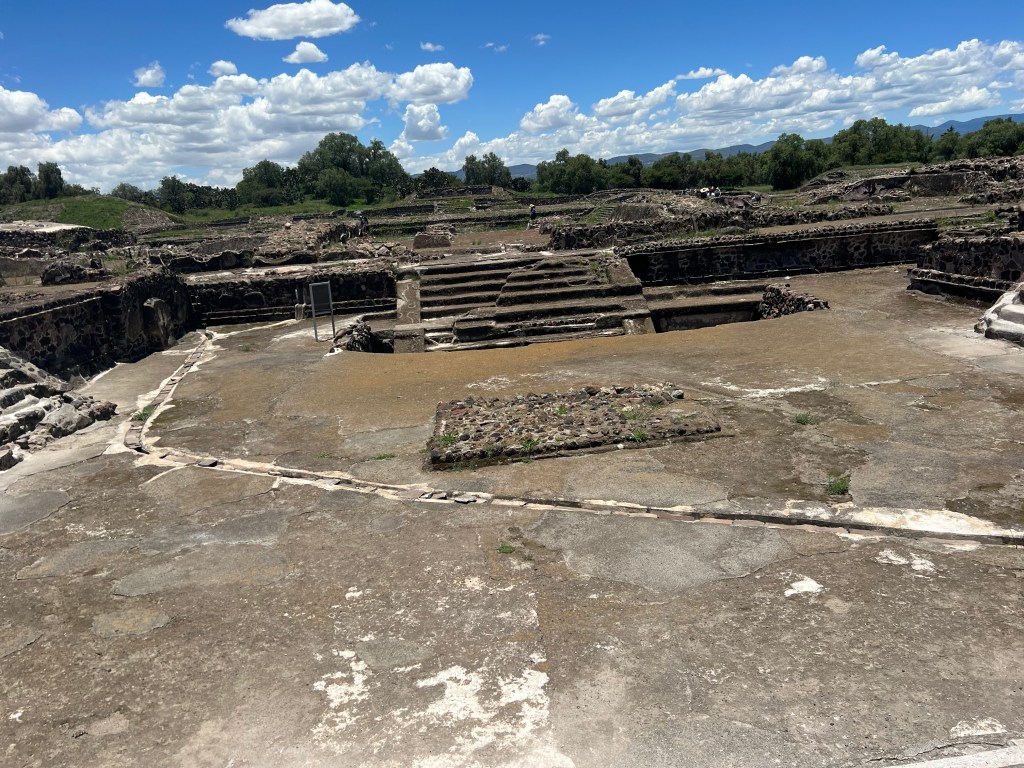
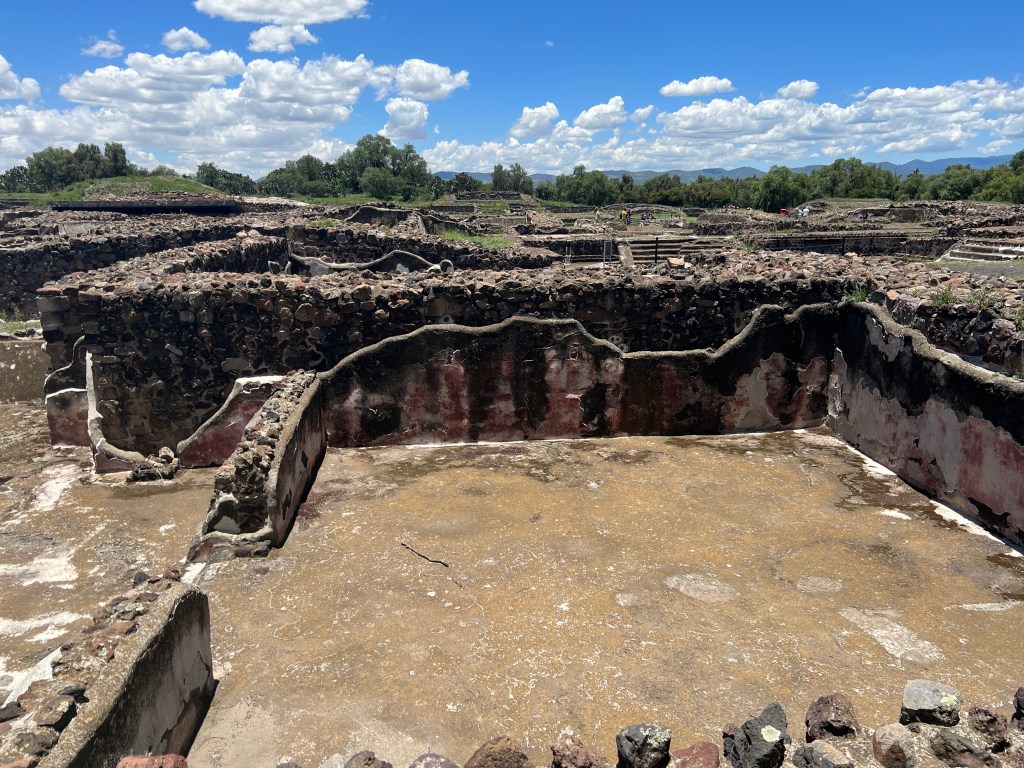
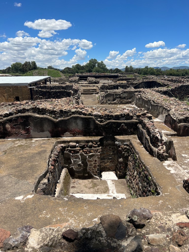
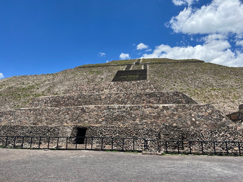
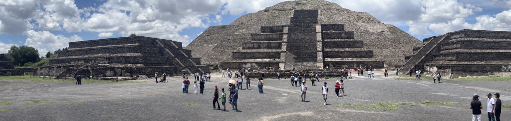
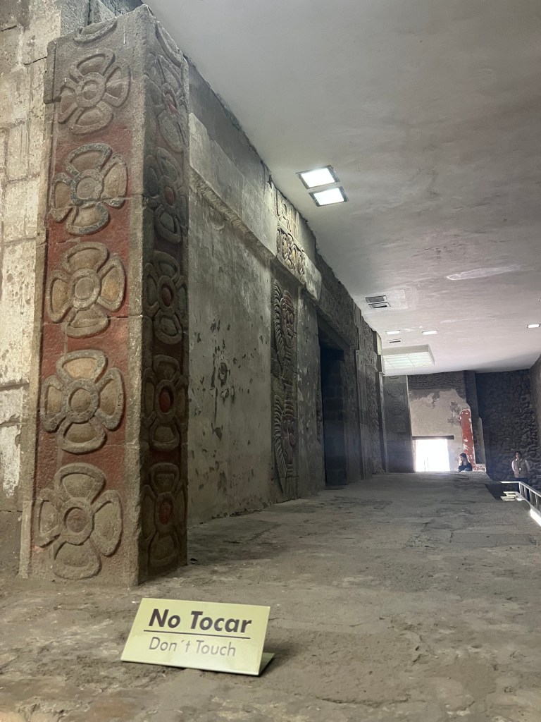
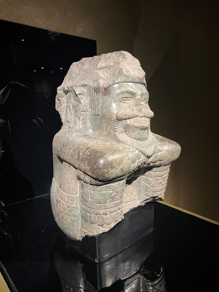
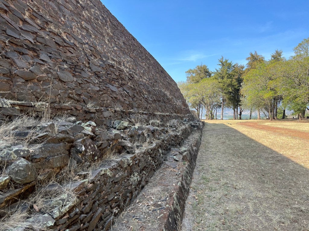
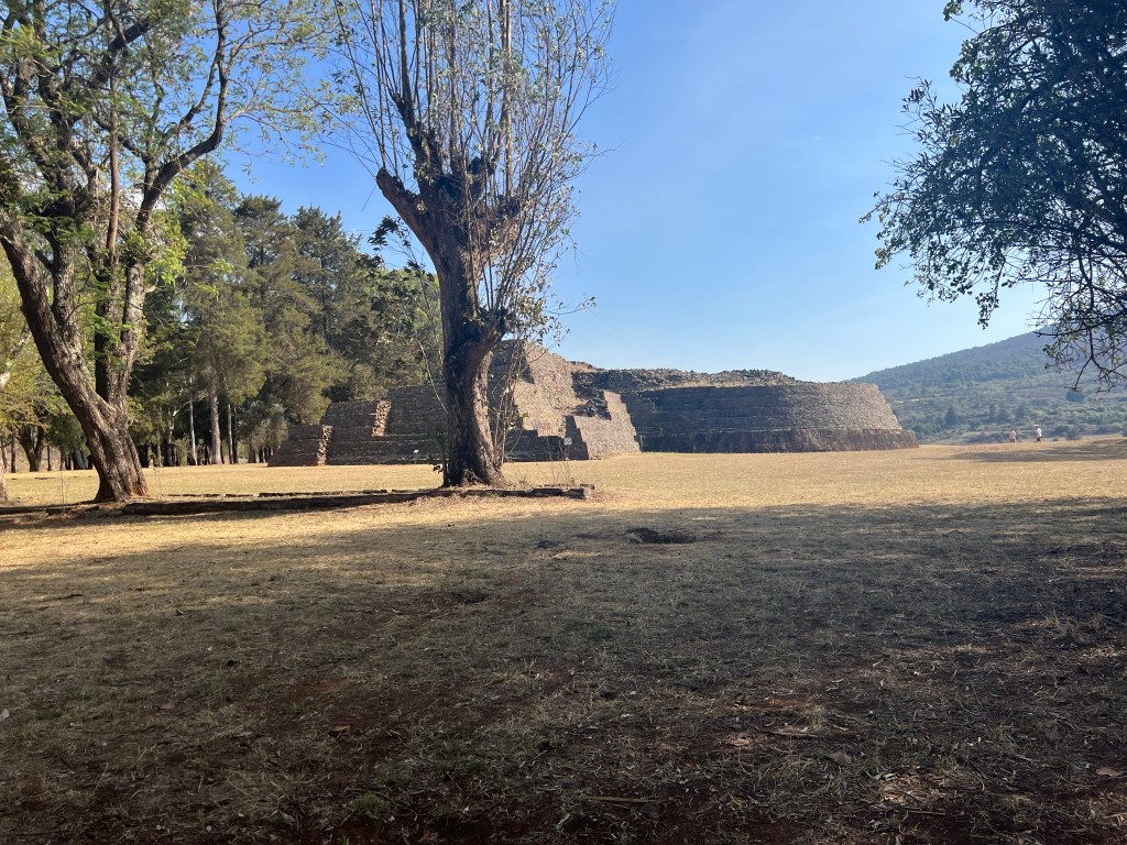
The great pyramid of Cholula is largely unexplored and is the largest pyramid in the world by volume coming in at 4.45 million cubic meters, followed by the Great Pyramid of Giza coming in and just over half with 2.5 million cubic meters. It doesn’t look like much other than a hill with a church on top of it, but once you walk around and up-and-over it, the real size becomes apparent.

Day 66 – Teotihuacán Pyramids

Note: The picture galleries are just that – as displayed, they are thumbnails. To view the full sized picture, just click on the thumbnail and you can cycle through the pictures in the gallery.


I’ve been to see a lot of Mesoamerican pyramids – mostly Maya, but Olmec, Zapotec, and Toltec as well. I have not seen a lot of Aztec ruins – aside from the Templo Mayor in CDMX. I had always incorrectly thought that the Teotihuacán pyramids were of Aztec origin. This trip set me straight.

Danza de los Voladores

The Voladores Totonaceños greeted us in the parking lot – we parked right in front of their pole. Due to the stresses of the morning’s drive, we sat for a bit in the rigs and made lunch and relaxed for a bit. I then heard a whistle playing a little jig and looked outside. The four dancers were at the top of the pole and started to descend. I quickly got my phone out and snapped a few pictures and then took a video of the dance. It basically consists of four men tied off and hanging upside down from a wood frame that has ropes twisted around the top of the central pole. As their weight pulls on the ropes, they all unwind together causing them to spin in unison around the pole. As they spin, the ropes extend and they descend to the ground.

This dance is to offer prayers to Tlaloc and other gods to ask for rain and abundance. In this case, they were requesting rain for their vanilla crop to grow. After they descended, I joked with one of them: “better you than me, I would be throwing up on the people below spinning like that…”. He laughed and said in broken Spanish that one gets used to it. His Spanish was worse than mine. So I asked him what is maternal language was and he said Totoneco – the local indigenous language. He was selling little bottles of vanilla extract – so I bought one, if for nothing else then to contribute to the show.

Piramedes de Teotihucán

With most ancient ruins in mesoamerica, the signage and information about them tends to be lacking. I didn’t want to wander around and just observe them, so we got a guide to take us through. His name was Miguel and was an amicable guide.

The city complex foundation was laid down during the pre-classic period of mesoamerica – from 2000 BCE – 250 CE while most of the pyramids and temples were built during the classic period from 250–900 CE. Here’s a quick table of the Mesoamerican periods and the civilizations that we prominent during each period (copied from Wikipedia).

Paleo-Indian10,000–3500 BCEHonduras, Guatemala, Belize, obsidian and pyrite points, Iztapan, Chantuto Archaeological Site
Archaic3500–2000 BCEAgricultural settlements, Tehuacán
Preclassic (Formative)2000 BCE–250 CEUnknown culture in La Blanca and UjuxteMonte Alto cultureMokaya culture
Early Preclassic2000–1000 BCEOlmec area: San Lorenzo Tenochtitlán; Central Mexico: Chalcatzingo; Valley of Oaxaca: San José Mogote. The Maya area: NakbeCerros; West Mexico: Capacha
Middle Preclassic950–400 BCEOlmec area: La VentaTres Zapotes; Zoque area: Chiapa de Corzo; Maya area: El MiradorIzapaLamanaiNaj TunichTakalik AbajKaminaljuyúUaxactun; Valley of Oaxaca: Monte AlbánDainzú; West Mexico: Capacha
Late Preclassic400 BCE–250 CEZoque area: Chiapa de Corzo; Maya area: KaminaljuyuEl MiradorUaxactunTikalEdznáCivalSan BartoloAltar de SacrificiosPiedras NegrasCeibalRio Azul; Central Mexico: Teotihuacan; Gulf Coast: Epi-Olmec culture West Mexico: Teuchitlan traditionshaft tomb cultureChupícuaro
Classic250–900Classic Maya Centers, Teotihuacan, Zapotec
Early Classic250–600Maya area: CalakmulCaracolChunchucmilCopánNaranjoPalenqueQuiriguáTikalUaxactunYaxhaTeotihuacan apogee; Zapotec apogee; Bajío apogee; Teuchitlan tradition
Late Classic600–900Maya area: UxmalTonináCobáXunantunichWaka’, Pusilhá, XultúnDos PilasCancuénAguatecaLa Blanca; Central Mexico: XochicalcoCacaxtlaCholula; Gulf Coast: El Tajín and Classic Veracruz culture
Terminal Classic800–900/1000Maya area: Puuc sites – UxmalLabnaSayilKabahPetén Basin sites – SeibalEl Chal
Postclassic900–1521AztecTarascansMixtecTotonacPipilItzáKowojK’iche’KaqchikelPoqomamMamAztatlán
Early Postclassic900–1200TulaMitlaTulumTopoxte
Late Postclassic1200–1521TenochtitlanCempoalaTzintzuntzanMayapán, Tiho, Q’umarkajIximcheMixco ViejoZaculeu
Colonial1521–1821NahuasMayaMixtecZapotecPurépechaChinantecOtomiTepehuaTotonacMazatecTlapanecAmuzgo
Postcolonial1821–presentNahuasMayaMixtecZapotecPurépechaChinantecOtomiTepehuaTotonacMazatecTlapanecAmuzgo

As we entered the complex, Miguel explained that in 1910, the government of Mexico “discovered” the ruins and the president at the time wanted to preserve them. The main problem was that the city was thought to be 22 sq km. Much of which had towns and aldeas (villages) built on top of it, and he couldn’t use eminent domain without causing a problem. So instead he concentrated on the center of the city, which included the main temple complex(es) consisting of about 9sq km. At the time, the 22sq km consisted of surviving stone ruins where the city center, elites, temples, main markets, pyramids, etc were located. Any clay, wooden or thatch buildings were outside of this area and were not considered at the time, nor conserved.

The city we would be seeing today – from the Citadel and the Temple of the Feathered Serpent to the Pyramid of the Moon, was about 3km long.

The Citadel plaza is about 200m x 200m squared on the inside. The outside walls were made up another 50m on each side – so not really that small. There is a small short platform in the center – being the citadel. Next to it, is the Temple of the Feathered Serpent (in Mayan, it is called Kululkan). I had always thought that Quetzalcoatl was the feathered serpent in Aztec, but for some reason the guide wanted to express that Quetzalcoatl and the Feathered Serpent were different. Perhaps because Quetzalcoatl is Aztec and the “Feathered Serpent” was pre-aztec.

Between the Citadel and the Temple of the Feathered Serpent, sits an archeological dig site tent. There they found a tunnel entrance. It goes down 15m or 50′, and then heads east towards the Temple of the Feathered Serpent for about 100m where it ends in a tomb where in 2010, the found 260 bodies from all over mesoamerica. These were not just any ordinary bodies, these seem to be elite, priests, the wealthy, etc. from all over. These were not sacrifices, they were offerings. It is thought that these people got together and “offered” their lives and bodies to the significance of the rituals which the pyramids entomb. The number 260 corresponds to the lunar calendar of 260 days. At the different exterior layers of the Temple of the Feathered Serpent, are 365 monuments set into the sides, of Tlaloc (the god of water) and The Feathered Serpent. This is more of a curiosity than anything else for me, more research is needed as to the reasons why.

Avenue of the Dead

The Avenue of the Dead is the main boulevard that goes north-to south starting at the Pyramid of the Moon down to the Citadel complex – and beyond. It is named that because the people who inhabited Teotihuacán did not have cemeteries. Instead, they buried their dead in family temples in front of their homes along the street. So while the non-permanent structures are now long gone, their family tombs and the dead buried there are still present – except those that have been removed in modern times.

Administration, Government Offices, Elite Residences

With any town or large city, there must be a place where the daily grind is adminstered from. In the case of Teotihuacán, it is thought that these compounds were also the residences of the elite, as they have found evidence of residencies within. This section is possibly 100m x 100m and has multiple layers, and levels. There are areas for food stores, water cisterns, fresh water channels, and sewage channels. There is even evidence of showers with running water controlled by gates.

Pyramid of the Sun

The pyramid of the sun is the largest pyramid in Teotihuacán – although it is not the largest pyramid in Mexico as we found out later. For better and worse, the pyramid of the sun has been permanently closed for two years because there was too much wear from all of those that wanted to climb it. Archeological digs still are active and they continue to discover new details about the ancient civilizations that inhabited and built these monuments.

Mural of the Puma

It was thought that this mural was that of the Jaguar as the jaguar holds prominence throughout the city. However, after close study, it is now the thought that this mural is that of a puma, in the rain. This mural pays tribute to Tlaloc, the god of water and agriculture, as well as the Puma which could symbolize power and strength. One could come to the conclusion that this mural was a depiction of Tlaloc bringing the power and abundance of water to the agriculture for bountiful crops.

Pyramid of the Moon

The pyramid of the moon is situated further north and uphill from the pyramid of the sun. While the Pyramid of the Moon is shorter and smaller than the Pyramid of the Sun, because of where they are located and their elevation, the tops of both pyramids are equal to each other. It is thought that some ceremonies would be held at both pyramids at the same time in concert or synchronization with each other to express their relationship in the cosmos.

The Pyramid of the Moon has also been closed to scaling due to abuses, but it is still open during equinox and solstice festivals for indigenous groups.

In the picture below, the size of the pyramids is so large, that my panoramic shot could not capture the complete complex. In the far left, you can see a mound covered by trees – that is yet another pyramid that has yet to be uncovered.

Palace of Quetzalpapalotl

This palace, while it has been reconstructed, has some of the most well preserved murals and stucco in the city. There are many stucco murals of the Quetzal and Jaguar throughout this palace. In addition, there are good examples of the water system, including baths and toilets.

Observatory

I have seen many ancient Mesoamerican observatories. The one located at Teotihuacán is both impressive and ordinary – if you could call anything here ordinary. Comparing it to that of Palenque, Tikal, or Copán, this observatory seems to lack awe. However, if you have a guide that can explain to you how it worked, you would be highly impressed.

This observatory has an open roof – to better see the cosmos, and it measures about 15m x 15m on the inside. The floor used to be covered in sheets of mica – a reflective stone, also called fools gold. Then it would be filled with water. The results were that the light of the cosmos would be reflected through the water, off the mica and onto the walls of the observatory, where readings could be taken on the special markings that no longer exist. You can see holes in the walls where instruments would be placed for the readings.

Corrupt Police – Bus Impound

Yesterday, I was chatting with the RV Park maintenance guy. He really liked the bus and we talked about it for some time. He asked where we were headed to, and I said we were headed to the pyramids of Teotihuacán. He promptly gave me directions on how to get to them without going on the toll roads – several “returnos” where you go past where you want to exit, but there is no exit, so you go beyond, and find a round-about or ramps or simply lanes cut through medians to turn around. He then also mentioned that the police in a particular town (Tultitlán) were tied to the cartels and were corrupt – ten cuidado – he said. The most common issue was “hoy no circula”. In the State of Mexico, as well as CDMX, to reduce congestion and pollution, you can only drive on certain days except if you have special permission. I got my 14 day pass, so that wouldn’t be an issue – or it shouldn’t be an issued.

Today was supposed to be a casual travel day from Tepotzotlán to Cholula with a stop at the pyramids of Teotihuacán. About half way from Tepotzotlán and Teotihuacán, we were casually driving down the road in the town of… yup – Tultitlán – and my ever-aware state when driving noticed a police vehicle ahead. We passed each other several times as traffic was heavy – then they got behind me. Always paying attention to cop cars, I stayed in my lane, and obeyed all rules of the road.

Red lights and siren – horn honking, they told me to pull over. Now this is a six-lane boulevard and there are no parking signs all over the right side of the road. No where to park/pull over. The cops swerved over to the left side – yelled at me to pull over I and shrugged and said where? There’s no where safe to pull over… They then pulled in front of me and basically stopped traffic in the far right lane for me to pull over to.

I shut the engine off, started my dash cam rolling – I have three cameras on it, one pointed at the door so it records everything.

The three cops (because it takes three – one to write the ticket, one boss to call the shots, and one to have their six because… no idea) came to my door and started talking to me. Scolding me because my bus was “hechando humo” – smoking. Now while my exhaust does come out visible now and then, it certainly wasn’t smoking. More likely, they saw it blow dirt and dust while I was accelerating from a stop.

She asked me if I saw it – nope didn’t see it. She asked me to hit the gas to show it – but the engine was off. She then asked me for my papers – license as my permission for the driving was taped to my door – in their face. Now it’s never a good idea to hand the police in Mexico your papers unless you have exhausted all other means. I questioned the reason why they pulled me over and she pulled out her little book of laws. Showed me the current year, showed me the “contamination” rule – vaguely written, and then showed me the consequences – impound and towing of the vehicle. I questioned what “contamination” meant as visible particulates are not the same thing as NOX (an invisible poison, etc). The fine it seems – was $6700mex – AND impound. She had this neat little tablet gadget with a credit card reader, etc to pay tickets on the spot. But I would still have the bus impounded, etc. Using all of my delay tactics, I held off for about 20 minutes before I relented and gave her my license. About a minute later, she said “is this expired?” Umm… damn, she caught on to my decoy. So I looked around for another 10-15 minutes for my “valid” license. All the while, the was peppering me with hurry up – we don’t have all day, etc. So I relented and “found” a copy of my valid license. I told her it was a copy, for when I couldn’t find my valid license – so that she knows that I wasn’t trying to pass off a copy as the real thing. She got mad at that one…

She showed me the book of rules – so I took pictures of the things she was calling me out for…

So then I said something to the effect of “I know it’s here somewhere…” and I disappeared back into the bus and looked for the real one – I really did misplace it. Between the three different wallets, backpack, computer case, passport holder, vehicle documents, and other hiding places in the bus, I finally found it – 20 minutes later.

So we’re here for almost an hour now. They aren’t happy and they are “calling the tow truck”. I silently laugh as there is no way they even have number for “their tow truck” that can tow a 28,000lb bus, but they are going through the motions.

At this point, she’s got me for a “smoking” bus, and a fake license. Then she goes and “talks” with her boss… She comes back and tells me to step to the side (away from my camera) and talk to her boss. He states that the fine is $4600mex and impound – I can pay the fine there through here, but the bus would still be impounded – I’d have to pick it up the next day. I basically told him (paraphrasing), “I can pay the fine now, if you give me a receipt and via my credit card on your little machine, but I am not going to pay with cash – I will not pay a mordida.” He quickly denied it was a mordida – or bribe.

To me this was not a game – and my stress levels were fairly high, so as usual, my voice became intense. The lady copy asked me if I was OK, and my reply was “of course I’m not. You’re telling me I have to pay a fine AND you’re taking my home away from me. Where am I going to sleep? My breathing machine is in the bus and I won’t be able to breath at night, etc, etc. I am stressed”.

She then went to her boss and they talked in hushed tones. At this point, I turned my phone video camera on and tucked the phone under my arm pointed right at them – I had also asked my friend to take pictures of them as they presented no ID and would not show it to me when I said I was going to take a picture of it. Back on track… I had my phone recording them, she came back and told me that the fine was now $1200mex and impound and asked me if I was OK. I gave her the same response… saw the phone and told me to put it away.

Corrupt Cops

She then offered that I pay the fine of $1200mex and no impound – and asked me if I was OK then. Same response – of course not. The the offer turned into a verbal warning with no fine, no impound. She asked if I was fine then, and I relented and said that it would make things better. She asked me several times after that if I was OK – and each time, as realization that I might get off with no impound, I started to calm down. Finally she “gave me a warning and told me to have a nice day”.

HOLY SHIT – my stress level was so high it lasted from 0930 until we got to our final destination at 1730 – even with a three hour break walking around the pyramids…

Day 65 – Tepotzotlán

Tepotzotlán – Pueblo Magico

We arrived in Tepotzotlán from the north and spent half a day before we caught an Uber to CDMX (you can see the post here). At first glance of wandering around, it seemed like an unassuming little town with little to offer. After CDMX, we caught another Uber back to Tepotzotlán and had an entire down day (I caught a cold in CDMX – took two COVID tests, both came back negative) where we didn’t leave the RV park except to do laundry, pharmacy, and market.

The next day we wandered to the town square where there was a very large stone wall around a very large city block – we wondered what was on the other side. This is the town where they had the giant bronze Jesus on a crucifix laying on the ground – 30′ or there about tall. We walked up to the church and the facade was extraordinary but the doors were closed. So we wandered a bit to the side of the church where there seemed to be a park. It ended up being an ancient (300 years old) olive orchard and a museum. I didn’t have high hopes for the museum, but we went in anyway – what’s $90 pesos, we had time to kill.

Museo National de Virreinato

This unassuming museum was actually quite spectacular. Its focus was on the convent, monastery, and Jesuit School which were located at this site and their role in the conquest of the Mexica people of the 16th-18th centuries. The museum did a good job at a historical perspective of the conquest and challenges of, controversy within the church, migration of peoples throughout Mesoamerica, and the importance of trade between Mexico and the rest of the world during these times.

Iglesia de San Martín

The church of San Martin was attached to the school and monastery. As I walked in, I was blown away at the opulence of the 23.99k gold plated walls. These ornate works of art were the way the church and clergy was supposed to communicate or tell the tale of the holy trinity and Christ, as none of the local could read or even spoke latin. The story had to be communicated in such a way as to inspire awe, reverence, and fear. There are far too many details to go into about each panel, so I will just post some pictures to see.

Casa de Loreto – birthplace of Maria

The church has also become a modern pilgrimage destination to visit the Virgen in the house of Loreto – supposedly the house in which the Virgin Mary was born in Nazareth. This is an ‘exact’ replica of the house – built into a single nave of the Church of San Martin. It was built between 1679-1680 and has become a religious relic which the devout embark on pilgrimages for to pay their respect and ask for personal favors and miracle.

Relics and other interesting items in the museum

The museum hosts many exhibits, inclusive of the school and cloister, religious relics, historical information for trade, and the conquest of the people of Mexica. There’s a lot of information, so I will just post pictures

Tlacaxipehualiztli – An Agricultural Ritual of fertility and renewal of life

Note that this post is a bit morbid – and also note that while these festivals are still practiced, they are not sacrificial in nature – at least not to this degree…

Tlacaxipehualiztli is an important festival in Aztec culture, celebrated during the month of March in the ancient Aztec calendar. The name Tlacaxipehualiztli translates to “the flaying of men” or “the festival of the flayed one.” It was dedicated to the god Xipe Totec, who represented fertility, agriculture, and the renewal of life.

The festival was a time of great significance and was observed with various rituals and ceremonies. The central element of Tlacaxipehualiztli involved the sacrifice of a captive warrior who was chosen to represent Xipe Totec. The chosen warrior would be dressed in the flayed skin of a previous sacrifice, symbolizing the renewal of life and the shedding of the old to make way for the new. This act of flaying represented the shedding of the outer layer, revealing the fresh, fertile skin beneath.

Once the flayed skin was worn, the warrior would participate in a series of rituals and processions. These included dances, music, and offerings to honor Xipe Totec. The festival was also associated with agricultural rituals, as it marked the beginning of the planting season.

Tlacaxipehualiztli was a time for the Aztec people to express their devotion to Xipe Totec and seek his blessings for a fruitful harvest. The festival was seen as a means to ensure the renewal of life, both in the agricultural and spiritual realms. It also served as a reminder of the cycle of life, death, and rebirth.

While the practice of Tlacaxipehualiztli involved human sacrifice, it is essential to understand it within the context of the Aztec civilization and their religious beliefs. Human sacrifice was a central aspect of Aztec religious rituals and was thought to appease the gods and maintain cosmic balance.

Today, the ancient rituals and ceremonies of Tlacaxipehualiztli are no longer practiced. However, its historical significance and cultural impact continue to be recognized and studied as a part of Aztec civilization and Mesoamerican history.

Day 61 – Mexico City CDMX

Picking Up where I left off…

The 12 day trip back to California to tend to some things at home turned out to be a nice break from the trip as well. We have a family of raccoons taking refuge under our house, and my attempts at trapping them were fruitless. I did believe that I had chased them out, but it seems that they broke through another vent screen – so the hunt goes on. I have a critter cam and my wife is placing it at strategic places, but she hasn’t reported back yet as to what going on.

The flights were rather uneventful which is always a nice thing. In and out without much ado. No hassles with security, immigration, or customs.

We were scheduled to head out of Patzcuaro the day after I got back, but we postponed it by two days so we had some relaxing down time – which was needed, even though I didn’t think I did need it. We decided to take the toll roads to CDMX, and the trip only took about five hours, and while the roads were in good condition and fast, the tolls were brutal.

Tepotzotlan

This Pueblo Magico is an hour north of the CDMX Centro Historic. We spent the afternoon wandering around, and while we haven’t found out why it’s magical yet, we are spending another day there. The rigs are parked at the closest RV Park to CDMX while we are visiting the capitol.

We happened upon the town on a Saturday, and as it happens, it was market day and many people from the capitol go on day trips to the surrounding towns, including Tepotzotlan. In the center of town, there is a giant bronze Christ laying down, signifying when we was taken down from the crucifixion.

CDMX – Centro Historico

Leaving the truck in Tepozotlan, and taking an Uber into the Centro Historic, we arrived just after noon at the hotel. We checked in and went wandering. First things first, we went to eat – and got robbed. Not mugged, but the restaurant robbed us. Similar items on the menu, with drastically different prices, that was the most expensive meal we have had in Mexico – and we’ve eaten at some nice places – all for a mediocre fast food (that’s what they call themselves) meal. We’re talking $20us for a pitcher of lemonade, a side of guacamole, some French fries – EACH, not together. Now imagine for the entire meal…

The nice thing about the restaurant, is that it was on a terrace and we had a nice view of the zocalo, the gardens, the cathedral, and all of the tourist industry shenanigans going on below.

After lunch, we hoped on over to the cathedral, the largest and tallest in the americas??? There are so many naves in this church, and they are mostly active with parallel activities. Their sound system is directional, so you don’t hear the other services unless you move under, or in the way of the speakers. This cathedral is also one of the most important and largest pilgrimages in the americas, to see the Virgen de Guadalupe. It is not surprising that a cathedral of this size has parallel services, there are 19mln ppl in CDMX.

After the cathedral, we headed to the Temple Mayor. This Aztec temple was only in use for about 200 years until the Spanish came over and conquered them. It was used for a relatively small amount of time. This temple is in its 7th iteration, each one being built over the others. And the cathedral is built, if not on top of, then just to the side of – and of the rocks that the temple was built from. Inside the Templo Mayor, there was an archeology museum. A small, but well put together museum showcasing the templo mayor, and the Project of Urban Archeology – which was founded in the 80’s or 90’s to excavate and preserve important sites in CDMX that are found during construction projects.

Xochimilco

Another UNESCO site, Xochimilco is a city of floating man-made islands (Chinampas) and canals. Most of which have disappeared to to heavy draw from the water table and sinking of the area. We took a canal boat (trajinera) ride fro a couple of hours and visited many interesting sites on the chinampas, had food delivered to us on the boat, and were serenaded but mariachi bands floating the other way down the canal. As the day wore on, we saw more and more trajineras taking tourists up and down the canal – it was quite festive and entertaining.

Chapultapec

While in CDMX, we have been relying on taxi and Uber transportation. It’s more expensive than what we have paid previously, but everything in CDMX is more expensive. So this day, we decided to take public transit and it… paid off. The fair for the metro is $6mx – about 35 cents. Very affordable. The metro line 7 runs every… two minutes. Yup, two minutes between busses. The busses are all very clean and well maintained double decker busses with a large panoramic window in the front for those lucky enough to sit there. To say that I am impressed would be an understatement. The transit system is efficient, easy, GPS tracked, and inexpensive.

We took the bus to the National Museum of Anthropology in Bosque de Chapultepec. This museum was… impressive. Its two floors each sported 7-8 sections and were divided between pre-hispanic and post-hispanic (modern indigenous culture) exhibits. I have seen Aztec, Maya, Olmec, and other museums, but not with all of them together. You really get an idea of the different people, level of advancement, art, music, culture, etc when these different peoples artifacts are displayed side-by-side. This museum, while it’s primary focus is to the Mexica people and Tenochitlan, they have done a fantastic job of incorporating other people and civilizations into their exhibits – all while tying them back to the Mexica civilization. We were only able to see the pre-hispanic exhibits, and we ran through the modern indigenous cultures just to see if we were interested in coming back – which we will.

Not far from the museum, via a gentle stroll through the Chapultapec forest, waits the Castillo de Chapultepec – an impressive castle built in the 1600-1700’s on top of hill top in the middle of Mexico City – creating an imposing fortification. The government has turned this castle/fort into a post-conquest history museum of Mexico. Going through this museum, as someone from the United States, one realized how little we are taught about our neighbor in school, and even how little we are taught about the Mexican-American war.

Specifically, the Niños Heroes, who were military cadets ages 12-early 20’s, who were left to defend Chapultepec and CDMX from the American military aggressors. The cadets held off the invading American military for many days until Mexico City finally fell. The story actually goes back further, to when Texas, then a Mexican state, declared its independence from Mexico and seceded from Mexico. The US Congress then approved Texas’ statehood request and declared war on Mexico. The fall of Mexico City, left the US in a predicament, they held the vast majority of the Mexican territory, but they did not want it. Arguably, slavery was still a hot issue, and if the US were to make Mexico a colony or territory, it would be a slavery state. So the occupying US military just packed up and left – except for California, Arizona, New Mexico, and Texas, which the US annexed from Mexico and made them territories.

Anyway, the point was we are not really taught history other than our own positive outcomes, like that these young cadets held off the US Military, vastly outnumbered, outgunned, out trained, for weeks – an embarrassment to the US military and now the pride of Mexico.

Day 43 – New ways of travel

Flexible Plans

One of the ideas of this trip was to have flexible plans – or to have open plans – a general idea. No end date, but an idea of what month we needed to be back home. So far, this has been the case, except for needing to be somewhere to pick up a friend coming in to visit for a week.

Well, plans change. Due to circumstances, I must return to California for 10 days to take care of some things. But this brings up the point of this blog entry – new ways of travel.

Through the air

Back home, for the last two or three decades, I have been a fan of Alaska Airlines and my local regional airport, STS. Not only do I fly out of there whenever possible, I also learned how to fly there. Not that I have flown recently, but I did get my ticket there and I know the airspace, landmarks, and airport itself – fond memories.

Since I have been flying to Mexico and Central America, I have flown on many different airlines, in the last few years, I have found a Mexican carrier that I prefer – and a new way of traveling to/from Mexico and Central America. That would be CBX.

CBX – Cross Boarder Exchange

CBX is an ingenious tool. It is a terminal of the Tijuana International Airport – located in the United States, more specifically, near Otay Mesa, 30 minutes to the San Diego Airport. CBX is an enclosed catwalk that goes over the border from baggage claim in TIJ/Mexico, through US customs and immigration, then out into the CBX terminal, not unlike any other regional airport in the US. It can be and usually is -VERY- fast and easy. There are, however some caveats to it, namely, you need to purchase a CBX ticket to use the catwalk – that’s about $57US for round trips – and the tickets are only valid within two hours of your scheduled flight in/out of TIJ. Not really an issue. The other BIG advantage to using CBX is cost.

I have an un planned flight, and I needed to book three days in advance from Morelia to Santa Rosa. Going to Kayak and Alaska Airlines websites, I would be able to book a round-trip flight from MLM-DFW-STS for $4600. Since I was in Mexico, I thought that $4600mex was a pretty good deal – about $260US. The only issue I could see was that it took 24-36 hours with at least one extended layover – almost always in DFW. As I moved through the booking process, I realized it was $4600US, not pesos.

So I looked at flights from MLM-TIJ. Direct flights were about $250 (a three hour flight). Then I looked at flights from SAN-STS (a 1:15hr flight) and due to the high demand and short notice, the prices were about $550 – but I would never make the connection as I needed a couple of hours to get through customs and immigration, grab an UBER for the 30 minute ride (about $40) to SAN and get through security. That just wasn’t going to work.

So instead, I booked SAN-SFO with miles ($12 in taxes) and will be able to make my connection. Now how do I get to STS – a 75 minute drive, or 4+ hours on public transportation… Well, luckily, we have an airport service that can get me there in about two hours, or just shy of it – for about $60.

So, instead of $4600 on a single ticket from MLM-STS and 24-35 hours, I have the following: MLM-TIJ – $260 & three hours. CBX, $57 and an hour, UBER from CBX-SAN $40 and 45 minutes, SAN-SFO, $12 and 90 minutes, SFO-STS airporter $120R/T and two hours – coming in at $459 and 9 hours. This is all with a three-day advance purchase – and round trip – the return is similar in time.

Volaris – my new favorite Mexican airline.

I have flown on many Mexican and Latin American Airlines over the last 30-40 years. Most of them have poor reputations, reviews, and statistics. One however – Volaris, stands out. I’ve never had a delay, customer service at the airports have always been exemplary, prices are very low, etc. Now Volaris doesn’t come with many services, it is a low-cost airline and has a litany of extra charges, but if you know what you want, you can still get an affordable ticket.

Volaris caters to the Mexican people and culture. Many from the US and other countries would not be happy or even understand their processes, but if you change the lens you look through, the experience can be gratifying. There are no lines, there’s a mob, just plan for it – give up your seat and go stand in line before the line starts. Sit on your carry-on if you don’t want to stand.

Another example of how Volaris excels, is their customer service. We once had tickets – a multi-city itinerary, but all separate tickets because they don’t offer a multi-city purchase option on their website. The tickets were TIJ-PBL, MEX-GUA, and TAP-TIJ. We paid about $500 for them and bought them months in advance. Just a week before the first leg, something came up and we couldn’t travel. I fretted how difficult it would be to try to get a refund or even a credit. So I called them up. The CSR was very nice and polite and called me Mr. Chris – forget my last name… So formal, but informal. I explained that we needed to cancel and for what reason, then explained the multi-city/multi-ticket issue and with a few minutes came back with and option for us – a 125% voucher on our full ticket price for future flights with Volaris. 125%???? No American airline would ever do this.

Returning to the Pueblos Mágicos Adventure

I will be back on the adventure in 10 days or so at the beginning of July, with our next stop – Puebla. We will be there for about 2-3 weeks. More posts to come, stay tuned.

Day 41 – Patzcuaro

Things have happened…

Our trip was to have a plan that wasn’t really a plan. To have a general itinerary which was flexible depending on what we felt like, what we learned along the way, and where we thought we wanted/needed to go. This is certainly the case. The original plan was to stay in the Patzcuaro area for just a week. We have now extended that to almost four weeks due to things happening – more on that in a future post.

In the mean time, some things we’ve done and pictures to go along…

Patzcuaro

This area of Morelia is beautiful. We are, however in the middle of a heat wave that is affecting much of the US, Mexico, and Central America. It is un-typically warm for Morelia, coming in in the upper 80’s where it should be in the upper 70’s. Because we are at 6900′ elevation, the sun is intense and adding the heat to it, tires you out quickly. When we sit down for lunch or dinner, the first thing we order – even before we get our menu, is a picture of lemonade.

Much of our time here in Patzcuaro is walking around, lounging, visiting the market, going to the Plaza Grande and people watching, etc. We also take day excursions to other towns near by to pass the time. We have landed in a small trailer park/hotel with perhaps 10 sites in all, and only three other sites filled. It’s a pleasant, quiet part of town, near – but set back – from the main road. Walking distance to many stores, and a short cab ride anywhere else. Usually, we only take the truck when we are going out of town, or have a truck-specific errand to run.

As for pictures of Patzcuaro, it looks like I have very few pictures, I will have to take more in the next two days.

Tzintzuntzan

Tzintzuntzan is a Pueblo Mágico, close to Patzcuaro – also on the shores of Lago de Patzcuaro. It is one of the three seats of power in the Purépecha Empire – which was impacted by the Spanish Hoard. The town itself is a typical town, I personally would not call it magical, but I am sure that there are aspects, history and culture that I am not aware of as to why it has the status of being a Pueblo Mágico.

They make straw Christmas ornaments, for amazingly low prices – even at the “I see your fat gringo wallet” prices, they are inexpensive. Needless to say, I bought some, many in fact, to adorn our tree next winter.

Tzintzuntzan – a fun word to say, also has a special convent next to its market. This convent is hundreds of years old, and is famous for its ancient olive trees planted by the priest whose name escapes me, who converted the Purépecha people to Catholicism. These olive trees are still alive and producing olives, albeit not very many. They are something to look at however.

We ate at a local eatery. It was one of my favorite places for ambiance, but the food was just OK. I had mole and while good, I wasn’t too hungry. The tables were in the kitchen and the ladies were very accommodating and nice.

Archeological Zone – Yacatas. This park and museum are another claim to fame of Tzintzuntzan. The ruins date back to around 700CE. While this area has been inhabited since 2500BCE, there have been several civilizations in this area which have superseded each other. The Purépecha people were the latest people to live in this area prior to the arrival of the Spaniards. There were three centers of power in this area, Patzcuaro, Tzintzuntzan (about 20km away), and Quiroga (modern name of town named after the Spanish Bishop who converted many). When the Spanish arrived, all three were conquered, but not without a fight. All three banded together and moved resources between the them and the other lake communities to keep the Spanish at bay.

These ruins, while they look solid, are most likely hollow or have passages and rooms inside them. Cool air currents could be felt around the base.

Santa Clara del Cobre

Santa Clara del Cobre is yet another Pueblo Mágico in the area – about 20km from Patzuaro. But much like Tzintzuntzan, by first appearance and my lack of knowledge, the magical nature of this town is obscured. This town is famous for its copper artisans and art. This seems to be a fairly recent addition to the towns jewels, as they do not have a mine nearby, they deal in recycled copper – which, but writing this, leans me in the direction of being magical and good stewards of our planet.

They usually source the copper in waste form, ingots from circuit boards, electrical wires, scrap metal, etc. They then smelt it down to ingots and then split the ingots into the appropriate size for their project and start pounding. It’s all manual, they don’t use hydraulics in their work.

Morelia

Earlier in the week, we dropped a friend who was visiting off at the airport in Morelia. We then spent the day wandering around the historic center and taking in the sights. Morelia is an UNESCO World Heritage site for it unique baroque architecture, and its cultural significance (the Mexican Revolution started here).

Morelia is a city of more than 1mln people in the city proper as well as the municipality. The airport is convenient and fast. I like airports like this. Their webpage states that you should show up 45 prior to your flight – that’s at boarding time. Morelia is a university town as well as the state capitol.

We wandered around and found two libraries, one at the university, and the public one next door. As we were wandering around the university, a man pulled us aside and asked/urged us to take a tour in the museum. This museum is dedicated to a hero of Mexico, Melchor Ocampo. Ocampo was born during the Mexican revolution and was assassinated 47 years later for his work and social programs. He was a politician, astronomer, gardener, linguist, the list goes on. He was so enamored with the ideas of Benito Juarez, the first indigenous president of Mexico and who was the first leader during the reform wars. Juarez was unable to enact many of the social programs during his term before he was assassinated, but his ideas turned into reforms post-mortem. Ocampo was one of those that pushed for reform and is credited with implementing many social programs and being the father of the civil registry of Mexico.

Ocampo loved Mexico and the people to such an extent that in his last will and estimate, he bequeathed his heart to the university through the following statement “Mi Corazón le pertinence al Colegio de San Nicolás” (My heart belongs to the school of San Nicolás). His daughter took that statement more directly than most would read it and donated his heart to the university where it is revered and on display along with his library and other relics in the museum.

The public library of Morelia has hundreds of books dating back centuries, the oldest which I saw was published in 1528. The architecture of this building, and the accessibility of these ancient books to the public is impressive.

Day 34 – Patzcuaro

Slowing Down

We stayed in Chimulco or Villa Corona for six nights. Reasons for this are multiple, but basically, the sprint down the coast for 2,000 miles was taxing and we needed a break. The weather here was nicer than on the coast, it was still quite warm, but we had left the humidity back in the lowlands. Villa Corona is about an hour south of Guadalajara and west of Ajijic – both of which we explored for a day, but mostly we stayed at Chimulco – which is a popular vacation destination and water park for those from the area.

We were pretty much alone in Chimulco, except for a mother-daughter pair who were traveling in their eurovan throughout Mexico for the last two years. They were escaping vaccine and mask mandates in Europe – and Mexico was one of three places that they could go without being vaccinated.

One of the attractions of Chimulco was that the many pools they have were fed by natural hot springs. I took a dip one afternoon to cool off from the 95 degree heat, but that lasted a very short while as the water wasn’t that comfortable. What was the key was to jump in with a shirt and shorts on and then sit in a chair in the shade while the evaporative effects of the wet clothes cooled me off.

Ajijic

Ajijic – a Pueblo Magico about an hour east of Chimulco, is a fairly recent addition to the list of Pueblos Mágicos in 2020. The town was founded in 1531. Its name in Náhuatl means “where the water falls”. This area has been inhabited for many centuries before the arrival of the Spanish. Due to its powerful energy and location along the northern shore of Chapala lake, it was thought of as one of the four cardinal points in Náhuatl myth and lore.

While Ajijic was recently named a Pueblo Mágico for its rich culture and historical value, when visiting the town, one has to think that the main reason for this exclusive membership is mainly due to the North American expat community that calls this area home. Ajijic is a gentrified town where home and property prices are in US dollars, and are out of reach of most locals.

It is a quaint little town with a large artistic influence which is purportedly brought in by the ex-pat community. There are private gardens run by and catering to the ex-pats where most business and events are conducted in English. There are many modern art galleries, exhibits, statues, and murals throughout the town and for those looking for modern are, this is a great place to see a great deal of variety.

Many of the “locals” that work the stores that cater to the ex-pats are they themselves transplants from other areas in Mexico. It was not uncommon that when in conversation with them about the local area, the conversation would go in the direction of them not knowing the area because they themselves just moved to the area to work.

Tlaquepaque

San Pedro Tlaquepaque is another Pueblo Mágico – which used to be a separate and distinct city near Guadalajara. Then Guadalajara grew and surrounded Tlaquepaque. Tlaquepaque is still its own entity with a separate municipal government, and appears to be just another neighborhood of the second largest city in Mexico – but don’t be fooled. The locals take pride in their history and make an effort to distinguish themselves as not Guadalajara.

The art scene here in Tlaquepaque goes back to before the conquest. For centuries, it has been a place or artistic creativity. It follows this tradition today with local handicrafts and modern art. Calle de la Independencia is a pedestrian street filled with high-end artisan shops from all over Mexico. For a compressed Mexican experience, you could spend a day or five wandering around Tlaquepaque, from the local markets to the high-end exclusive furniture shops.

The local market is vibrant and all of the colors, smells, and flavors one would expect from a typical Mexican market. The local cuisine here is both varied and delicious. While here, we tried both local market fare as well as high-end restaurant fare. We were impressed and delighted with both.

Mazamitla

Mazamitla is a Pueblo Mágico that blew me away. It is an experience that I never expected to have in Mexico – in California in the Sierra Foothills – sure, but Mexico… no. the meaning of the Náhuatl word Mazamitlta is “place where deer are hunted with arrows”. They celebrate the stag with honor and art. The town has dozens of life-sized stags artistically decorated by individual sponsoring artists and placed throughout the town – much like Santa Rosa honors Charles Schultz with statues of Peanuts characters.

Mazamitla blew me away because of its unique beauty and architecture. Here you will find multi-story buildings in a fusion of the Western US (think cowboys and westerns) and Spanish colonial architecture. Each building has patios and balconies on each floor that look over the street and plaza. One could easily imagine horses tied up under covered balconies to stay out of the sun while the locals would sit above them looking down on the vibrancy and busy life below, all while enjoying a limonada or ice cold beer. Oh wait, that’s what we did!!!

Outside of town, you will find an environment that caters to the outdoors explorers with hiking, horseback riding, sunset viewing, quad and off-road rentals and fun… the list goes on. This town is reminiscent of the foothills/gold country towns of California – with a Mexican twist. It’s awesome. I could spend a week or more relaxing and exploring here – during the winter where it’s cooler (and dry).

Patzcuaro – home base for a week

Patzcuaro is -yet- another Pueblo Mágico situation in the spine of the Sierras in central Mexico. I have been to this town several times before, but only have spent a couple of days here each time. This time we are here for a week. This town is a beautiful town at about 6800′ in elevation so it gets cool at night, and warm in the afternoon. All-in-all eternal spring. Patzcuaro has centuries of history before the Spanish even dreamed of exploring the area. The area is rich in culture, unique culinary delights, art, and exploration opportunities.

This town is situated in a beautiful valley with a large lake with little towns sprinkled around the lake and on islands within the lake – all providing us with days, if not weeks, of opportunities to explore, relax, and take in the sights, smells, and tastes of central Mexico.

More will be written about Patzcuaro in the next week or so when I have had an enough time to digest all that I have seen and done.

Janitzio

While Janitzio is not a Pueblo Mágico, it is magical in its own right. Janizio is situated on the largest island of Lago de Patzcuaro. It reminds me of a cinder cone, probably because it is one. The surrounding area is volcanic in nature and you can easily see evidence of it just by looking at all of the volcanoes in the area. One could imagine that Lado de Patzcuaro is the caldera of an enormous, ancient volcano that blew its top millennia ago and left the lake behind with the crater rim formed of many different vents-turned-volcanoes. This is me imagining, so I don’t know if it’s true or not.

The boat ride from the municipal pier in Patzcuaro takes 25 minutes at a slow, no-wake-pace to the island of Janitzio. Once there, we climb the meandering stairs to get to the top – a 350′ climb. This is not your average staircase however. This is the street. There is no way to get to the top without walking up the 1.5-2km of stairs. It’s a maze of sorts. The whole way up, one is treated to the cacophony of over-stimulated senses from the food, stores, and people living life. It’s important to note that there are no vehicles in this town, so the people carry their entire inventory supplies from the pier to the top or to wherever their store, hotel, restaurant, home is located on the island.

At the top of the island, is a 40 meter statue of Jose Maria Morelos – an important revolutionary figure in the history of Mexico. He is revered among the people and we were treated to be able to climb inside and up to the top of his upwardly thrust fist, 120 feet above the top of the island and 500 feet above the lake. To see the statue from the boat approaching the town, is reminiscent of the scene in Lord of the Rings, when they encounter the giant guardians protecting the lake.

Day 22 – Into the mountains

Three weeks. That’s how long it to get to the point where we wanted to be. That’s a long haul. While it’s still hot where we are, the humidity has dropped to a tolerable level, and the bugs seem to have disappeared.

The first three weeks, we traveled 2400 miles. That’s a lot of driving. The next six weeks, I expect that we will be driving half that distance – which brings our travel rate to 200 miles per week rather than 800. We will still be driving for exploration purposes, but we will be fairly stationary for multiple days at a time. This is where we want to be.

Mascota – Puebla Mágico

Our first PM in the highlands was Mascota. It is on a small mountain highway between Puerto Vallarta and Guadalajara. It’s at about 4000 feet in elevation. While it was still quite hot during the day 95-100°, it cooled off at night to the low 60’s.

Due to the heat, the town holds strange hours and even when posted, they are not always followed. Hours are typically 0700-1400 and again 1700-2000. But when we showed up to the archeological museum during posted open hours, it was closed. We were lucky enough to be in Mascota on both Saturday and Sunday evenings to watch the people come out in force and participate in the socializing in the town square.

Mascota is a mining town and in prehispanic times, Mascota was the head of a cacicazgo,which ruled over the populations of Talpa, El Tuito and Chacala.In 1525, the Spanish explorer Francisco Cortés de San Buenaventura arrived to Mascota, who was commanded by Hernán Cortés.

Due to the rich natural resources of the area, there are many estancias, haciendas, and casonas. Walking the streets, one misses the rich architecture inside the hidden casonas. But if you peer into the open windows and doorways, you are treated to beautiful hidden courtyards, just enough to let you imagination wander around and explore the mansions.

Talpa de Allende

Talpa de Allende, is a neighboring town about 30km from Mascota. Talpa is also a silver mining town and thus also has spectacular casonas. Many of these in the downtown or city center have been turned into hotels and little market places.

Talpa de Allende is also the destination for over three million pilgrims a year to see the Virgen del Rosario, and this specific iteration is also called La Caparita. The legend has it that back in the day, people would make disposable statues of corn meal, sugar, salt, etc. for festivals of important figures in the Catholic Church. Once the festivals were over, the statues would be buried. On one occasion, the statue of the Virgin was handed to the undertaker and as he was burying it, the ground exploded and knocked him out. When he came to, the current iteration of the virgin was in its place. Ever since, Talpa has been the destination for millions to ask favors and miracles of the Virgin.

This town was vibrant on the Sunday morning we visited – during the low season for pilgrimages. We were able to wander around town and see townsfolk, pilgrims, tourists, etc. Talpa is also know for its candies and murals. Of the candies, they are known for guava paste – so I bought a bunch.