Rim woes, zipties, and rebuilds…

When we left off, I was holding a cider and squinting at something shiny on my back wheel.

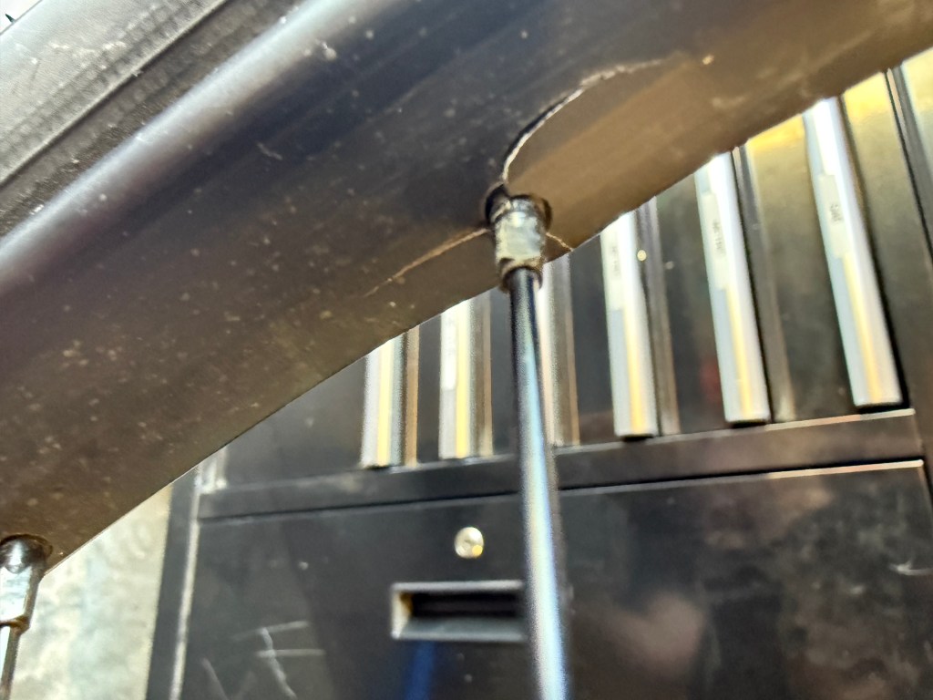
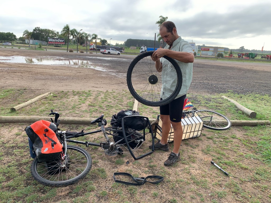
It was a crack. I put the cider down and looked closer. Then I found another one. And another. By the time I had gone all the way around, I had counted ten. Ten spokes slowly pulling their way out of the rim, each one with its own little crack.

The rim was destroyed. Not “keep an eye on it” destroyed. Done.

My guess is the spokes were too tight from the factory. After Argentina the bike mostly sat for five years, and the cracks sat with it, waiting patiently for me to pour a cider and notice.

A word about Guille

My first instinct was to hand the whole mess to a bike shop and write a check. Then I talked to Guille.

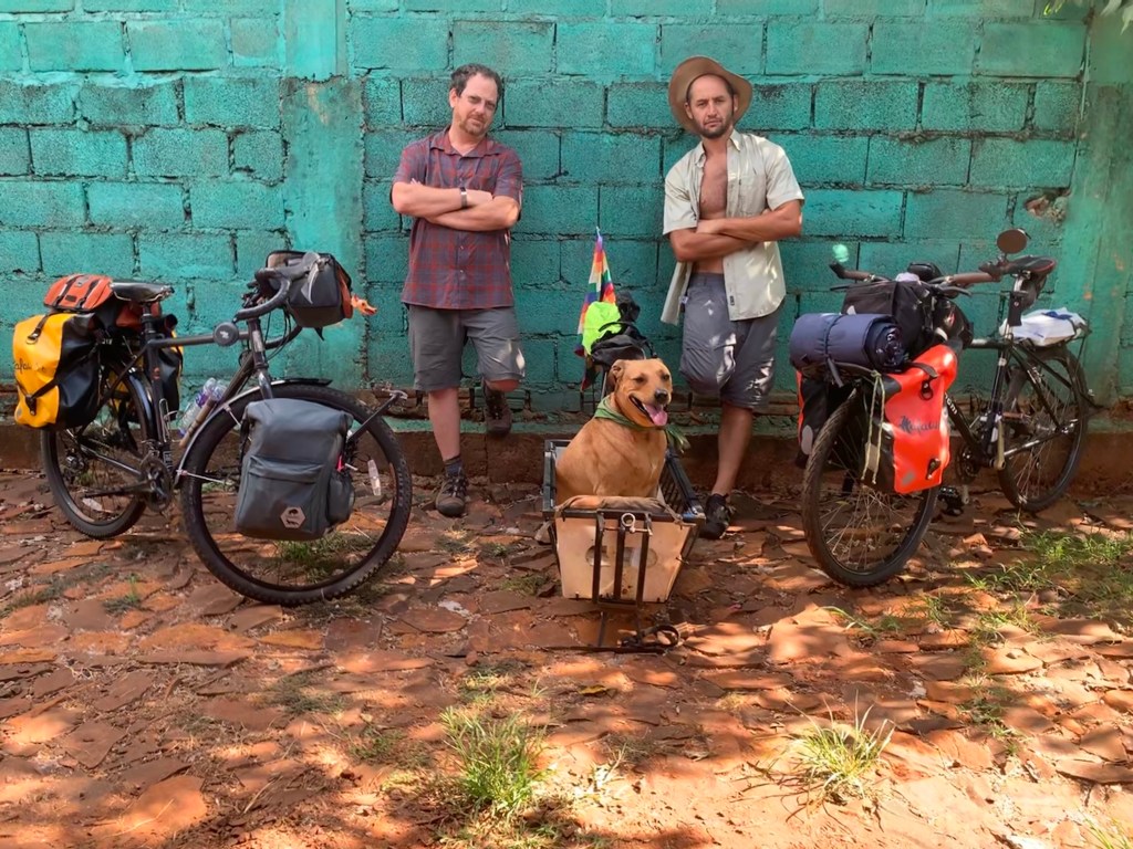
Some history. On day one of our Argentina ride, I was sitting in the heat with a liter of beer when my phone buzzed. It was Guille: “My rim broke, can you meet us here?” A third of his spokes had torn clean out of the metal. We spent four hours at a gas station with our thumbs out.

So naturally, the man with the exploded rim is the one who convinced me to build my own wheels. And naturally, I listened.
While I’m in there

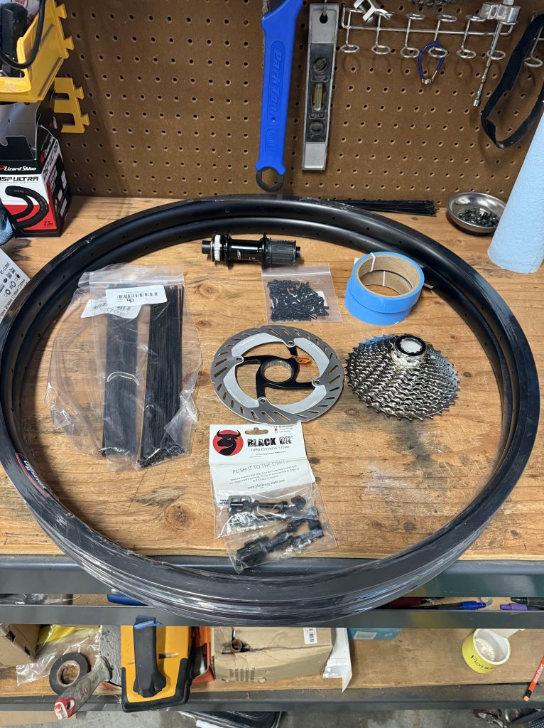
The only things I kept were the hubs. New rims, new spokes, new everything else, front and rear. The front rim hadn’t cracked, but it was the same age and had lived the same life, and I wasn’t going to wait for it to tell me.

Then came the most expensive phrase in any garage: might as well. The rear wheel was already in pieces, so I might as well replace the brake rotors. And the cassette. The old ones would probably have lasted. Now I know they will.

Final tally: the wheels cost double what the cockpit did. The thrifty plan is not going well.
Tools? Who needs tools?

Wheel builders use a truing stand, a precise and costly piece of equipment that tells you exactly where your wheel wobbles.

I used zip ties.

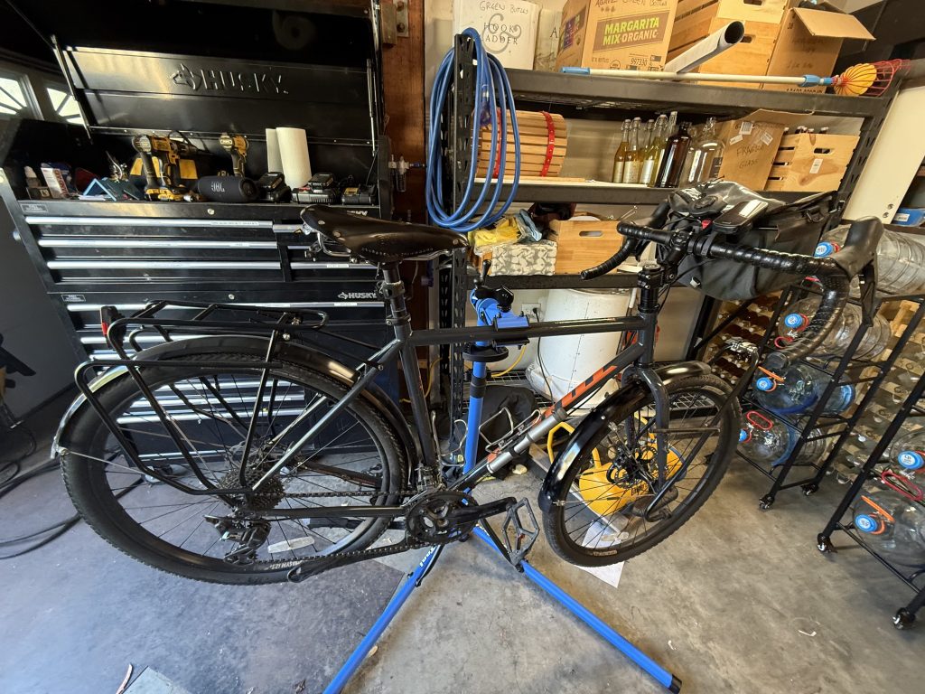
Put the wheel in the bike, strap a zip tie to the frame on each side, snip the ends so they just miss the rim, and spin. Where the rim touches a zip tie, that’s your wobble. Tighten a spoke, spin again. It works. It works well enough that I was a little smug about it.

And now, sheepishly: I did buy a few things. A bike stand, so the whole bike could hang at eye level while I worked. And a spoke tension meter, because if too-tight spokes killed the last rim, I wanted a number this time and not a feeling.

But the truing stand, the precise and costly one? Never bought it. The bike went up on the stand, the zip ties went on the frame, and two bits of plastic that cost less than a cent each did the job. I have stopped trying to explain this to people.

Like butter

You are supposed to oil the spokes and nipples before you put a wheel together. On the rear wheel I did exactly that, and it went together like butter.

On the front wheel, I did not.

I also had a cheap spoke tool. Dry threads plus a cheap tool is how you round the corners off brass nipples, one after another, each time thinking the next one will be different. It was not. I tore the whole wheel back down and replaced half of them.

Then I bought a better tool. I oiled the spokes and the nipples. Went together like butter.

Some lessons you pay for twice.

The tire problem

Both rims are now taped for tubeless tires. Which brings me to my wheel size: 650b x 47 mm.

Finding that tire in the US has become close to impossible. Everyone has moved to 700. Shops look at you like you asked for a typewriter ribbon. And 650b is… sigh.

Yes, I could have gone to 700 while I was rebuilding everything anyway. They would probably fit the fork. I never measured. They would not fit under my splash guards, and I am riding through Norway. The splash guards stay.

So I searched. And searched. And found three Teravail Washburns.

Yes, three. I am aware that “bi” means two. The third one is the spare.

I don’t expect to need it. 650b is still popular in Europe, so finding a tire over there should be easier than here. Which is exactly the kind of sentence Murphy’s Law was written for. If a tire is going to gash open, it will do it on a Sunday, in the rain, 40 km from a shop that closed on Saturday. So the spare comes along.

They are the “Durable” version, with a tougher sidewall. Better for touring. Heavier, but… durable. Fewer gashed sidewalls on the side of the road, which is a trade I will take every time.

Where things stand

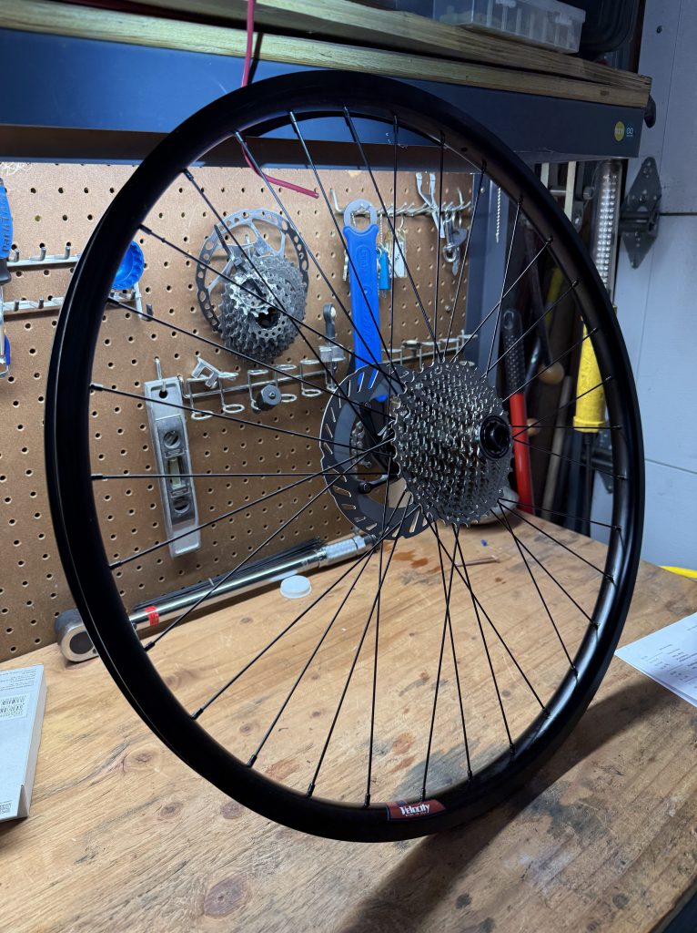
Both wheels are built. They are round, they are true, and I made them, which still surprises me. Now I am just waiting on the tires.
Next time: the finished bike, all of it, settled.

What changed

  1. Rims: Velocity Cliffhanger, front and rear
  2. Spokes and nipples: DT Swiss, brass nipples
  3. Hubs: kept
  4. Brake rotors and cassette: new
  5. Tires: Teravail Washburn, Durable, 650b x 47, tubeless. Two on the bike, one spare.
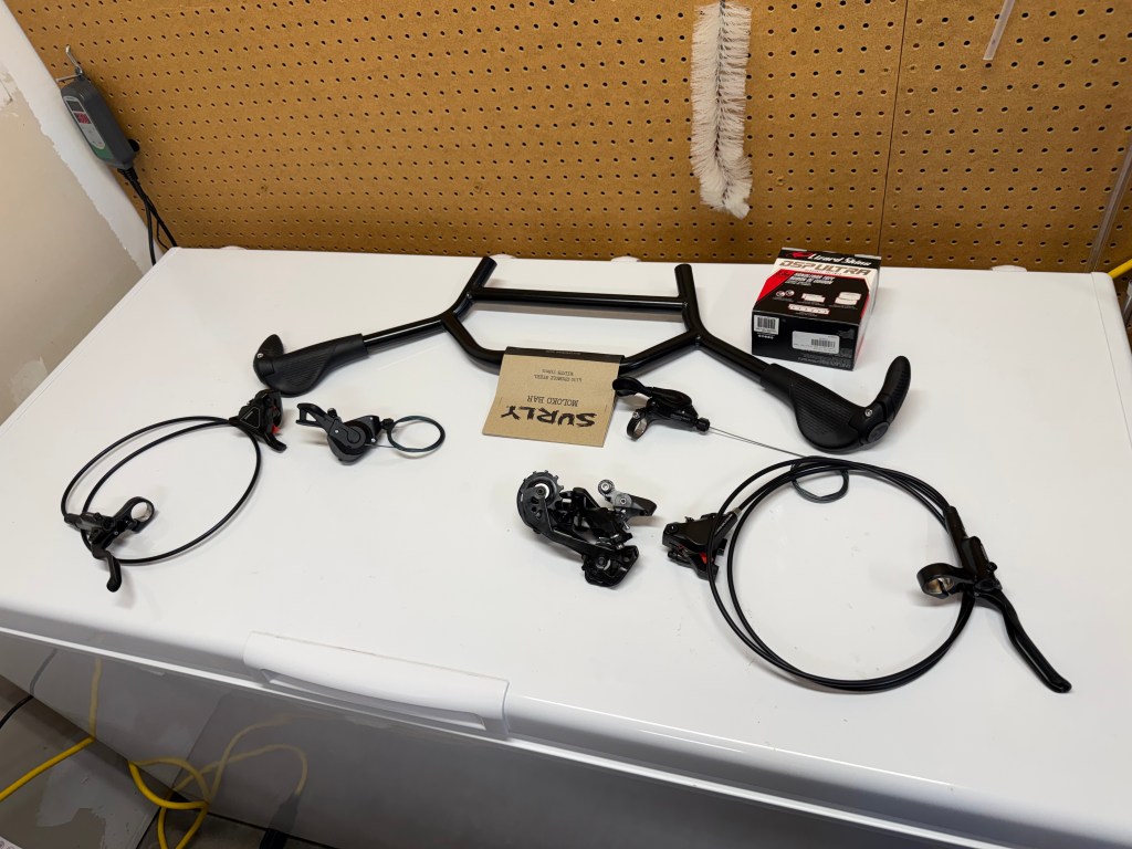
The cockpit: what Argentina taught me about handlebars

The Kona came with drop bars. Drop bars look fast. They look like you know what you are doing. For 1400 km across Argentina, they were also the part of the bike I argued with every single day.

The problem

I wore progressive lenses. Leaned forward over a drop bar, the only way to see the road ahead is to crank your head back and peer through the top edge of your glasses, like a turtle checking the weather. Do that for six hours in 41°C heat and your neck files a formal complaint.

The other problem was hands. Drop bars promise lots of hand positions. I never used the drops. Not once. That left me the horns, and the narrow bit across the top.

The top is about as wide as a coat hanger, which puts your hands a few inches apart, right next to the stem. Steering 30 kg of loaded bike from there is like driving a bus with a steering wheel the size of a jar lid. Every wobble, I saw my life flash by. Then my looks. Then my happiness. In that order.

So really I had one hand position, for three and a half weeks.

I came home with a list. A short list. It said: fix the cockpit.

The back and forth

Then I spent months not fixing it. Researching, I called it.

I went back and forth between handlebars more times than I will admit. Butterfly bars, the kind every German touring cyclist seems to be born holding. A plain flat bar with bar ends. Swept bars, loop bars, bars that look like someone bent a coat hanger in a hurry. Each had a fan club on the internet, and each fan club was certain.

My plan was simple and thrifty: change the bars, keep everything else. Shifters, brakes, derailleurs, all of it perfectly good.

The bike had other ideas. Road shifters don’t work on a flat bar. The brake levers that do work on a flat bar wouldn’t run my brake calipers. New levers meant new calipers. New shifters meant a new rear derailleur. Pull one thread and the whole sweater shows up on the garage floor.

At some point I did the math on just buying a different bike. It was closer than I would like. But then what would I do with two bikes? I like this one. It carried me across Argentina. It stays.

The solution

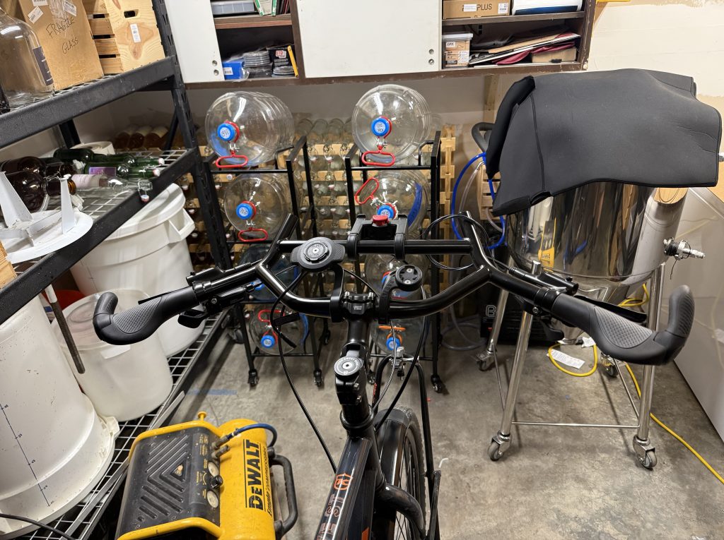
The winner was a Surly Moloko, a wide, swept-back bar with a loop out front and more places to put your hands than I have hands. I sit upright now. I look straight ahead, like a person.

By the time I was done, I had replaced everything but the front derailleur and the cranks. So much for thrifty.

And then, after rebuilding an entire bicycle around my glasses, I switched to contacts. Timing has never been my strong suit.

I like everything about the new cockpit. Everything. The choice I will brag about, though, is the least exciting one: the new shifting parts are plain Shimano Deore. Nothing fancy. That is the point. Every bike shop between Trondheim and Santiago has Deore hanging on the wall, and when something breaks in a small town in France, I want the boring part.

The build

I did the work myself. I have been in IT for 40 years. How hard can a bicycle be?

A couple of weeks hard, as it turns out. That is on top of the months it took me to decide.
The box of parts sat on the bench for a few days, judging me. Then the old cockpit came off in about an hour, which should have been a warning. Taking things apart is the easy half of any project.
The new bar is 735 mm wide. My garage door is not much wider. The bike and I have had words about this.

I watched the videos. In the videos, a calm man with clean hands does each step once. I did most steps twice and at least one of them three times, with hands that were not clean, hunting for bolts. Plural. Bolts the size of a grain of rice, each one rolling under the one shelf I cannot move. Somewhere under there is enough hardware to build a second cockpit.

Then came the cable housing. Measure twice, cut once, they say. I measured twice. I cut once. I cut in the wrong place. There is no undo button on a cable cutter, so a new length of housing went on the shopping list, and the second cut was preceded by a great deal of staring.

The brakes, to my surprise, were the easy part. They came filled and ready, and I managed not to ruin them.

And a confession. Once it all shifted, mostly, I cheated. I took it to a shop and had the rear derailleur fine tuned. The mechanic was kind enough not to ask who had set it up.

The bars are still naked. No tape yet. I want to ride it for a while and move things around before I seal every lever in place under expensive tape. Expensive tape is a commitment.

The moment

When it was all set up and dialed in, I rolled the bike out, poured myself a cider, and sat there admiring it. New bars. New controls. I was pretty pleased with myself.

Then something shiny caught my eye. Back wheel, on the rim, right near a spoke.

What is that?

Is that a crack?

Stay tuned for the next challenge. I am about to learn how to build wheels.

What changed

  1. Handlebar: Surly Moloko
  2. Grips: Ergon, with bar ends
  3. Shifters and rear derailleur: Shimano Deore
  4. Brake levers and calipers: Shimano hydraulic
  5. Kept: front derailleur, cranks

A new adventure: the EuroVelo 3

Six years ago I rolled into Buenos Aires, wrote that I had been bitten by the cycling bug, and said the next ride might happen in 2021. It is now 2026. The bug, it turns out, has a long incubation period.

That ride was January 2020. Iguazú Falls to Buenos Aires, just under 1400 km, with my friend and brother Guille and his dog Rocco. Before it, I hadn’t owned a bike, or even ridden one, in more than 15 years. So my OCD monkey mind went to work. I researched every option and settled on the Kona Rove ST. A fine gravel bike. I really had no idea what I was doing.

I trained at home: 50 km four times a week, with one ride stretching longer each week until I hit 100 km, all in a civilized 15°C to 23°C. Argentina answered with 41°C and 30 kg of gear.

I came home knowing what I liked and didn’t like about that specific trip. Too fast, too hot, no time to stop and look at anything. The next one would be slower. Kinder to the body, and to the soul, weather-wise.

I also wrote that the next one would be about 1850 miles. Hold that thought.

The next one was going to be the Danube. EuroVelo 6, from the headwaters in Germany to the Black Sea, June 2026. I had maps. I had a plan. Guille and I have a running joke that the best plan is to not have a plan. The Danube agreed with us.

Enter the Norwegians.

Torger and Håkon are father and son. I met them last year on the Camino Primitivo, and they are the ones who invited me to the lunch where a waitress baptized me in Estrella Galicia. Håkon is the reason I am back in school studying philosophy. He is well read, and he has a habit of asking the one question that takes apart whatever I just said. Over the past year they have invited me to hike in Norway and to join them for a couple of weeks on the Camino Francés. School and work said no each time.

When I told them about the Danube, they asked if I had looked at the EuroVelo 3. They wanted to ride that one some day.

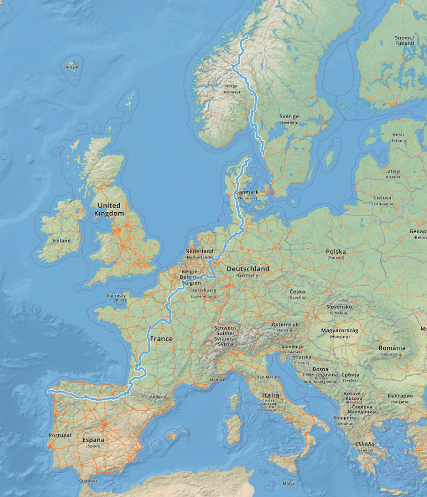
So I looked. The EV3 is called the Pilgrims Route. It starts at Nidaros Cathedral in Trondheim, Norway, and it ends in Santiago de Compostela. I have been to Spain and Portugal eight times and walked into Santiago on seven of them. Riding there from a cathedral in Norway? That is the perfect pilgrimage for me.

The numbers are a little less romantic. About 5,650 km, from 63° latitude north down to 43°. That is roughly 3,500 miles, for anyone still holding the 1850 thought. I was off by a bit. Roughly three months, starting in Trondheim in June 2027.

Then there is the climbing. Around 40,000 meters of it, which is Everest four and a half times, on a loaded bike. On the Primitivo last year the group used me as their guide, and I had one description for whatever was coming, dead flat or mountain pass: rolling hills. Norway has rolling hills at the start. Spain has them at the finish, and Spain’s are steeper per kilometer than Norway’s.

Rolling hills indeed…

As it stands, Torger and Håkon will probably not be able to join me. I still have hopes. If it ends up a solo trip, so be it. On foot I like walking alone for two or three weeks, and after that I want company. A bike will be different. I don’t know how yet.

Three months also bumps right up against the 90 days a visitor gets in the Schengen area. I will need to get creative, and France may be part of the answer. Homework pending.

And yes, I will walk in Spain again. I am positive of it.

The bike is the same one that crossed Argentina. Mostly. Six years gave me plenty of time to think about what I didn’t like about it, and all of it was in the cockpit: the handlebars, the controls, everything my hands and eyes deal with all day. Figuring out what to change took a while. Then I changed it. That story is next.

Now it’s time for a plan without a plan…

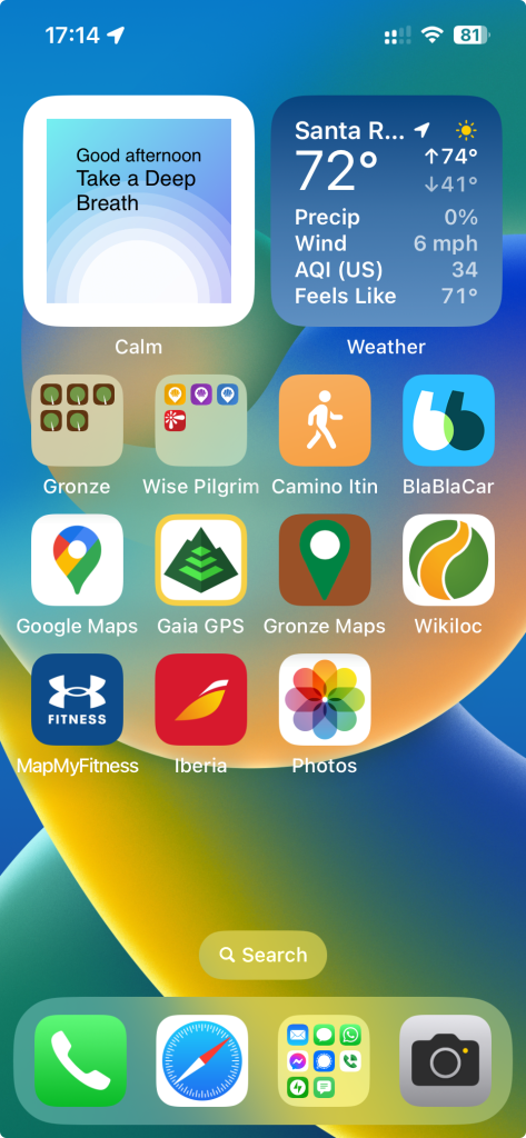
Camino Tech

I’m a techie… been in IT for almost 40 years now. Tracking stats, maps, and things are all fun things for me. They aren’t for everyone, and that’s OK. Everyone has their own Camino and one is no better than another. I have always used tech on my Caminos. Researching, mapping, GPS tracks, health and distance stats, etc. Many ask which tools to use, and there are as many tools and ways to use them as there are Caminos. But here’s what I have used and what I like…

Fitness Tracker

I use an iPhone 13 Plus and Apple Watch Ultra 2. They just work. I particularly like that all of my files, photos, and information I use on a day-to-day basis is automatically backed up to the cloud and synced on all of my devices. If I lose my phone, I haven’t lost any data, and I can be up and running as soon as I replace it. The one thing I don’t like about my Apple Watch is that if its misting outside, or because I am a surdo (left-handed), buttons or the screen get pushed/tapped and stop my workouts and tracking. I have just recently found a way to overrule this – put the watch in “Water Lock” mode where it locks the screen and buttons so they can’t be inadvertently tapped or pushed. I think this will solve my problem.

Mapping Software

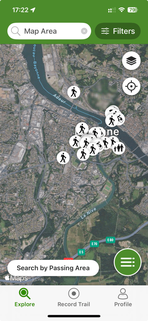
Gaia Pro

MapMyFitness

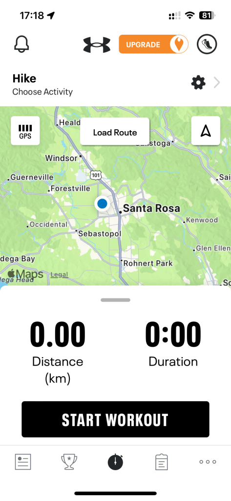
As for software for fitness tracking, I use MapMyFitness by Underarmor. I have used many others, but have settled on MapMyFitness. There’s not really anything I like about it more than the others, they are all underwhelming – that is to say, I haven’t found anything better about any of the others to make me want to change and lose my history, or have to migrate my history.

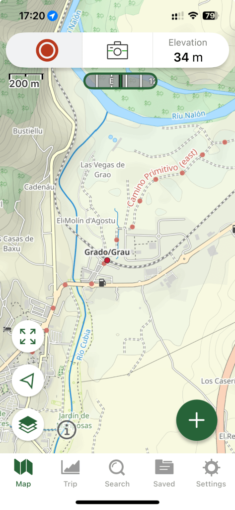
For generic mapping software, I use GaiaPro. This is a pretty advanced application that has a myriad of map styles and sources to choose from. There are even base hiking maps with the Camino routes already on them. Standard features are routing, off-line maps, route tracking, photo insertion, etc. I also use it for other things like my CritterCam projects with the California State Parks.

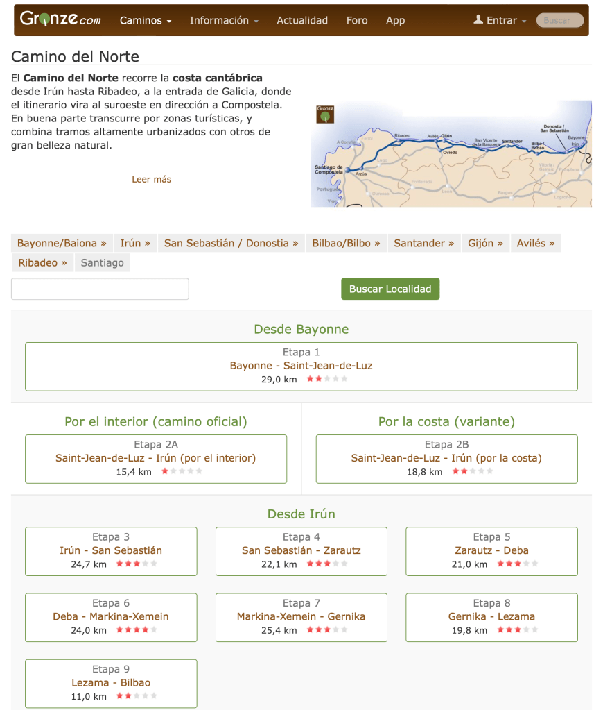
Gronze.Com

Gronze.com is an online mapping tool that is specific to the Camino. It’s in Spanish/Castellano, and has the official routes documented. I primarily use it for the other information it contains, which I will talk about later.

Google Maps. I use google maps whenever I am overseas, as I find that it has the best/most accurate database of businesses, transit, etc. that I might need while I am traveling. I like Apple Maps better, but it’s not as good as Google Maps overseas.

WikiLoc

Wikiloc – this is similar to All Trails, but it’s more widely used in Europe than All Trails – or seems to be. This is both good and bad. There are sooooo many trails that have been uploaded by so many people, it’s difficult to filter just what you need. You can download routes to your phone and watch if you want to do that. But for routing, I like to put my devices on mute and route by the yellow arrows. While I like tech, I’m working on being present more…

Camino Specific Apps

Gronze.com is a Spanish Language site that has detailed information on most Camino routes including albergues, places to eat and get supplies, history, route steps and information, attractions, etc. It seems endless the amount of information they have. Very useful. My main gripe about Gronze.com is that it’s not an app. You have to have internet access and it can be hard/slow to navigate on a small screen. But the amount of information available is probably the best of the apps I’ve been exposed to.

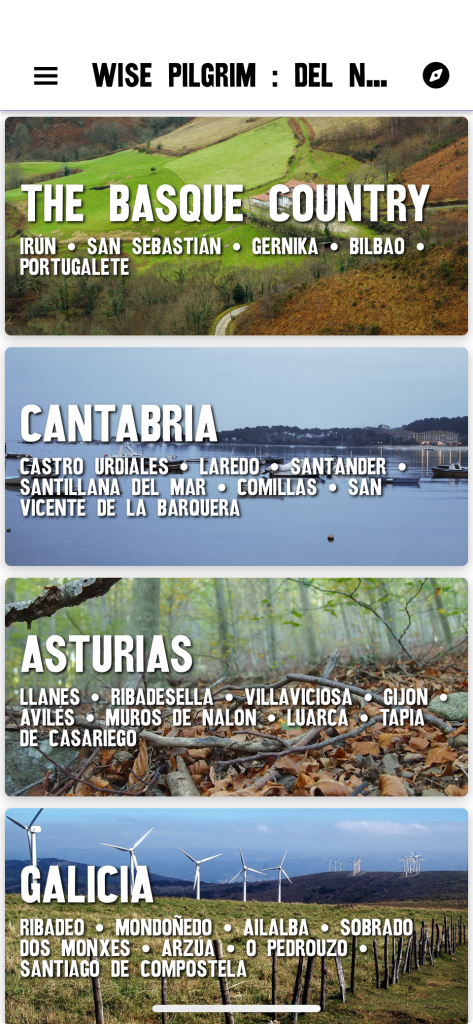
Wise Pilgrim

Wise Pilgrim Apps (one for each route). This is a great set of tools. They offer much of the same information as Gronze.com, but it’s in an app, offline, and in English. It’s quick to navigate and they have done a really good job at improving it over the years.

These tools provide trail profiles, details about which trails and services are open/closed, and they also provide a forum where users can post updates which WP can incorporate into their database.

Transportation

Don’t forget transportation and how to get around. Google Maps is a good starting place, but I quickly found that it was inaccurate and incomplete. I have yet to find a complete tool that encompasses most forms of transportation in Spain. I have, however, downloaded BlaBlaCar -again-. In 2015, I took a ride share from Madrid to Pamplona and it cost me something like €12. A bus ride from Bilbao to Bayona, Fr, on Google Maps was going to take 4-6 hours and cost €40. On Uber it was going to be something like €350. On BlaBlaCar, it cost €5.99 and will take 2hr 20min on a bus. There are other transport apps like RENFE (train), Alsa (bus), etc, but those are sometimes hard to navigate if you don’t know the exact stations you need to be at/go to.

Caveat

You always have to have a caveat as there are those people who like to argue and insert their toxicity behind the anonymity of the internet. These are only some of the tools I have used, and the ones I am taking on my trip this year. If I find others, I will look at them. Tools that I have used in previous years are no longer on my phone as I found these work better for me. Make your Camino your own, find the tools that work best for you.

A list of my Caminos

Each Camino is different. They offer different climates, cultures, food, terrain, history, etc. The Camino Frances, which is the best known of the published routes, runs for about 790km and has mountains, plains, forest, cities and towns, single track to asphalt. It also offers arguably the most flexible route as far as the frequency and distance between places to stay and eat. It is a beautiful route, but because it is the most widely known route, it’s not my preference. Not that I wouldn’t walk it again, but there is so much more to see, that I would prefer walking other routes over this one.

On the opposite, is the Camino Olvidado. It runs between Bilbao and Ponferrada (Camino Frances) for 489km and is some of the most remote paths that I have encountered to-date. Many towns do not have complete services and many albergues are sporadically closed. One must plan to walk this route and you would be luck to encounter another pilgrim. It is a solitary trail, but offers some of the most beautiful countryside of any of the caminos.

My favorite so far has been the Camino Primitivo between Oviedo and Melide (Camino Frances) and runs 261km. This route has a nice blend of mountains, forests, rivers, villages and towns, and people. It is better known than the Camino Olvidado, so it has more services, but it is arguably more strenuous than the Camino Frances. It’s a good balance.

YearCaminoFromToDistanceTerrainPeople (Other pilgrims)
2015FrancesSaint Jean-Pied-de-PortSantiago790kmMountain, plains, forest100’s per day
2016NorteSan SebastianSantander245kmCostal, Mountains15-30 per day
2016PrimitivoOviedoMelide/Santiago311kmMountains, forest, farmsTypically no more than 20 per day
2017Portugues (Costal)LisbonSantiago630kmMountains, Oak Savana, costal, cities & towns20-40 per day
2022OlvidadoBilbaoPonferrada475kmMountains, forests, farms<10 entire route (three when I did it)
2022InviernoPonferradaSantiago260kmMountains, forests, rivers, towns10-15 per day
2024My Custom Route (Norte->Vadiense->Olvidado->Salvador->Primitivo->Frances)Bayona->Comillas->Cistierna->La Robla->Oviedo->Melide->SantiagoSantiago1006kmAll of the aboveAll of the above
My Routes and Overview
My Caminos

Camino de Santiago 2024

This year I will embark on yet another Camino walk. This will be my fifth time there, and walking six different routes this year. This year will also be my longest walk exceeding 1000km or 600 miles. About half of this year’s route will be new to me, and the other half, will be on previously walked trails.

The Camino is a unique experience, even between companions, each one will have a different experience, challenges, and take-aways. There is a saying on the Camino: Your camino starts when you reach Santiago. The tomb Santiago or Saint James of course being the typical destination, located in the north-western corner of Spain, in Galicia, in the city of Santiago de Compostela. The most known route is the Camino Frances which runs from Saint-Jean-Pied-de-Port in the south western part of France, and travels 790km to Santiago. This was my first Camino in 2015. I physically suffered during this Camino, but I got hooked, and returned to walk the Camino Norte and Camino Primitivo in 2017, then the Camino Portuguese in 2017, and then the Camino Olvidado in 2022.

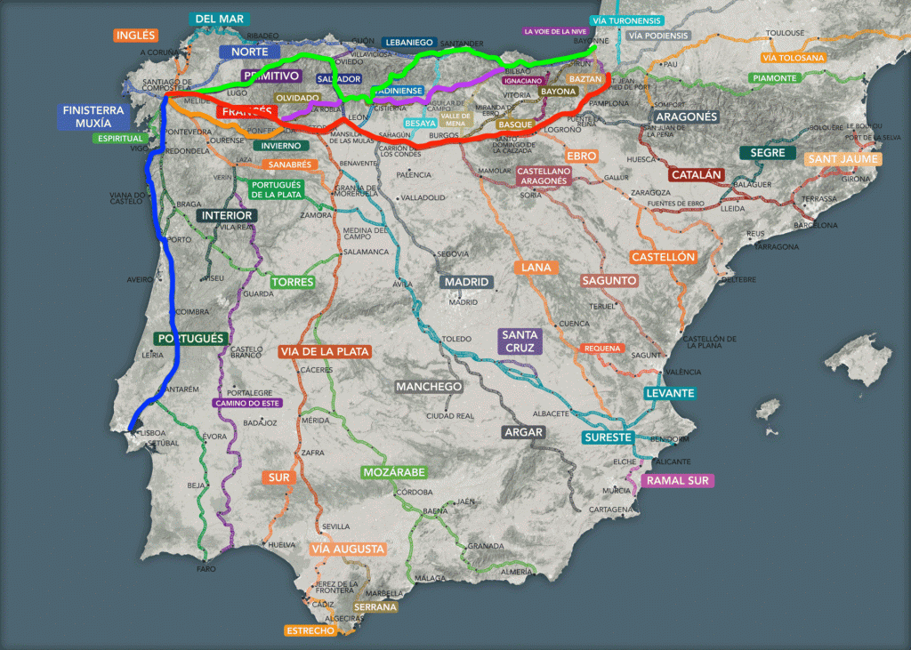
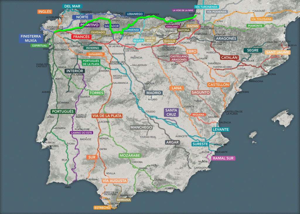
This year, I will start in Bayona France, and walk the Camino Norte along the cost of the Bay of Biscay for 16 days. Of these 16 days, six will be new to me. After the 16 days, I will then head south and cross the Cantabrian Mountains on the Camino Vadiniense – all new to me – for eight days. I then connect to the Camino Olvidado in Cistern for two days – which I have walked before, and then head north for five days on the Camino Salvador – new to me – to once again cross the Cantabrian Mountains to the city of Oviedo. From Oviedo, I head south west to cross the Cantabrian Mountains one more time on the Camino Primitivo for 11 days (I’ve walked this route before), and then finally in the town of Melide, I connect with the Camino Frances for the final three days. That’s a total of 45 days on the trail, and lots of coast, but mostly mountains. The route is roughly the neon green highlighted in the map below.

I plan to share my journal on this blog of this Camino as I have shared other adventures. I leave California on April 24th and will start walking a few days later. Feel free to ask questions, and share the blog to anyone who might be interested.

As we say on the Camino… Buen Camino!

Post Adventure Thoughts

I have been back for just shy of four weeks now and usually when I travel, I have some type of “culture shock” or revelations. In this case they are revelations. These are mostly comparisons between Mexico and the United States. They are also similar to what I have experienced in the past coming back to the US.

Police Corruption – it’s present, but not the norm

While we got stopped several times by the myriad of different types of police in Mexico, I was actually only harassed one time. Yes it was stressful, but I got out unscathed. I was warned about the police in this town and their ties to the cartels, so it’s not surprising.

What is important to note, is that on our last day in Mexico, traveling from Saltillo to Eagle Pass, TX, we pulled out of our hotel, but there were large orange cones in the driveway. These can mean anything in Mexico, so I simply had them moved and we drove onto the boulevard in front of the hotel. Except that it was crowded with pedestrians, joggers, and cyclists. Evidently, they close many roads every Sunday to traffic and let the people “own” the streets and use them for exercise and just getting out without having to worry about the traffic. A novel idea.

It was closed however, and as I was turning right to get off the boulevard at the first intersection, I got waived down by a young police officer. I knew this could be problematic, so I preemptively opened my window and before he had a chance to say anything, I greeted him and asked him how to get off this boulevard and explained the situation. He asked for my license, told me what I already knew and then told me to pull over to the street I was already turning onto. After about 5-10 minutes, he said he needed to give me a ticket, but it was obvious he didn’t really want to, so I asked to talk with his supervisor. About 10 minutes later his supervisor pulled up in a pickup truck and I got out and talked with him for another 10 minutes. Again taking the initiative to state the obvious, then I asked him if he could escort us out of the city as we couldn’t wait for the road to open as we had an appointment with Banjercito at the border for paperwork. He too stated he should give us a ticket, but then I asked again for an escort and he obliged. Escorting us about five miles to where there would be no more road closures, he turned around and waived us on.

In our travel stories, we don’t talk about the good interactions with police too much, but every other interaction I had with them, whether it be on the street walking and asking for directions, asking for questions about their town, or being stopped for standard inspections – was a positive experience. They are there just doing their jobs.

I got harassed only once out of the twenty or so interactions I had with the police in Mexico. The one time I got harassed, it was in a known cartel collusion area, I was warned, and I was driving a foreign vehicle. In the end, they let me go my way without any issues other than 60-90 minute delay in my day, and it really didn’t impact me other than the time I was stopped.

So, while we are warned and talk about police corruption in Mexico, and it most definitely is present, they are in the minority and most police officers are just doing their job and are happy to talk to/with you. They are people too.

Mexican vs US Drivers

In Mexico, driving has you on your toes. I wouldn’t say it’s dangerous, and from my anecdotal experiences driving over 25,000 miles in Mexico over the years, I would venture to say that Mexican drivers are actually better drivers than those in the US. Here is why I have come to that conclusion:

In Mexico, you will encounter topes or speed bumps on every type of road from cul-de-sacs, to country lanes, to boulevards, to major national autopsists or toll roads. They can be anything from white lines painted on the road way causing vibrations to jolting six inch tall asphalt tire/suspension-destroying humps that are unmarked.

On the contrast, there are also potholes on every roadway in varying states of decay, depth, and diabolical properties that will give you spinal compression fractures as you are launched out of the pothole and back onto the roadway for a final suspension-misalignment treatment.

There are also the narrow (think country lane) two-lane highways that have no shoulder, but instead have a 5-500′ drop off on one side and immoveable trees encroaching on the highway so you can’t use the entire lane. As you encounter these narrow lanes, you must add the pot holes and topes. So you see oncoming traffic swerving all over the road in front of you playing chicken at 100-120 kph (60-70 MPH).

The speed limits are subjective. The reality is that the road conditions dictate the speed limit plus some. If you go any faster, you will destroy your car.

We also have animals to contend with… dogs, chickens, donkeys, horses, cows, etc. My favorite [sic] are the pigs in the trucks being taken to slaughter. The pack so many pig in the trucks with open siding (just barriers to keep them in) that you can smell the pig trucks for miles before you reach them to over take them. As you are over taking them my suggestion is to do so as the fastest speed possible (well beyond the safe speed for road conditions). The reason for this is that if you take your time in passing these trucks, of the 200-300 pigs on board, of the 10% or so that have their asses pointed to you, one of them will inevitably defecate or urinate all over your vehicle.

Back to the other animal hazards, they are usually not in pastures or tied up. So they roam the roads freely. After all, it’s easier to walk on a road than through rocks and brush. When they are tied up, they are tied up so close to the road, that they will often be laying down on the road and sleeping – until you get close then they will suddenly jump up and run to the end of their tether – in the middle of the road.

Now let’s get to city drivers… traffic lights – pshhh – who needs them. Painted lane lines on the street… pshhh, let’s make our own lanes… blind curves, narrow streets, topes, potholes, livestock… you get the picture.

Now here’s here it gets interesting. Mexicans learned how to drive in these conditions. They are ever-alter and rarely distracted with cell phones, eating in their cars, putting makeup on, shaving, reading, autonomous driving cars, etc. They are reactionary drivers and they are good at it. They take it in stride. For the most part, it’s all part of the commute and just another day.

Because Mexicans are reactionary, offensive, and then finally defensive drivers, they are good drivers. They know how to avoid accidents. In all of the miles we drove this past summer, we saw… TWO accident. The first was where a double gasoline trailer driver fell asleep and ran off the road into a muddy field. There were two tow trucks there trying to extricate it out of the field. The second one was bad, it was a single vehicle accident where the long haul truck driver… fell asleep and the truck went off of one of those aforementioned embankments, overturned and was completely destroyed. The local townspeople were there collecting free cans of Coke and doing the highway department a great service by cleaning up the mess.

In contrast, I have been back in the states for just under four weeks and I have seen countless accidents on the freeways and have only driven about 800 miles. The other thing I have seen is road-rage. People are angry… They want to take it out on anyone. A delivery van and Dodge Charger racing down the freeway weaving in between traffic, driving on the shoulder all because the Charger “cut the delivery driver off”

Because of all the strict traffic laws and the threat of citations, people in the US mostly obey the laws. Because of this, they have time to be distracted. They are on their phones, eating fast food, shaving, having their Teslas drive them, etc. They have forgotten how to drive. So when there’s something out of the norm, they don’t know how to react. The results are no reaction and an accident, or over reaction and an accident.

Because of this, I have come to my subjective conclusion that Mexican (and for similar reasons, most other countries in the world) are better drivers than those from the United States. We pretty much suck at driving. Even good drivers in the US are bad drivers in Mexico. We just don’t have the skillset to be reactive drivers and pay attention – it’s more important for us to answer that text, eat those fries, and put makeup on instead of driving.

Day 94 – The Journey’s End

We departed on this journey in mid-May with the intent of seeing much of Mexico. To add to the previous trips and to get an idea for areas we would like to settle. In this respect, this journey did not disappoint.

Now that we have been on the road for 14 weeks, we are now headed back north and then west. We are caught going through the desert and the southwestern US in August, the trip will be hot – triple digits all the way, and fast – to avoid the heat, we (I) will be driving 8-12 hours per day for a week. It will be brutal.

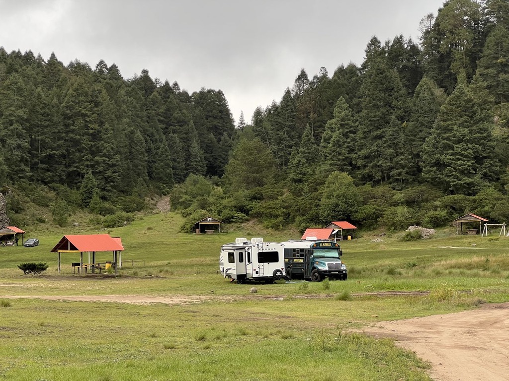
Camping at El Chico National Park

Things Learned

One of the things that we learned, or re-learned, is that it’s no fun traveling on the coast and desert in the middle of the summer. The first three weeks of the trip we experienced 100º+ on a daily basis. There was a time where my inverter had problems and the air conditioning didn’t work – brutal. Then when we got to our destination, we stayed inside where it was cool, only to venture out at dusk. What we learned was that to travel and enjoy the coast and the desert, one must travel during the winter months. We knew this already, but due to schedules, etc. we were forced to live through it again – and reinforce what we already knew.

Another thing that we knew – and this is subjective, is that the RV parks are, for the most part, just fine to stay in. Sure there are issues, but after being on the road for 14 weeks, that should be expected. We had power, water, and sewer hookups most everywhere we went, and when we didn’t, it wasn’t a big deal, we found solutions.

Police corruption is a thing! However, between the two of us, only one bribe was paid (within 100m after crossing the border, Gary paid out). One big caveat, we are now headed north to Texas, and I would expect 2-3 stops and possible searches on a daily basis. This is not corruption, this is the Mexican Government and Cartels (for where there are no police for reasons unstated) making sure people are not smuggling things north. I expect there to be x-ray machines, manual searches, and canine searches. I do not expect corruption.

As for corruption, in order of degree, EDOMX – the State of Mexico – are the most corrupt. There they told me they were going to impound the bus for “smoking” – all the while we were passed by cars with blown engines, trucks billowing smoke, etc.

Next would be the State of Hidalgo – here is where Gary’s truck and trailer were: too big, too long, too heavy. He agreed to everything they asked for: to pay a fee, to have license confiscated, to have to pick up the license on Tuesday, then Wednesday, etc. The only thing he asked for was a receipt. That frustrated them to all get out. The police officer got tired of standing in the rain trying to get an edge, but Gary didn’t give him one.

Finally, the state of Sonora. It’s supposed to be a “no hassle” zone for foreign plated vehicles, but they got Gary with a “radar” gun that was probably never calibrated and decades old. They got him at the border, he was following me, but they liked how he tasted more than me. As we were just entering the country, Gary chose to pay out. Now he would do it differently.

The Good…

There are so many things that were good about this trip and that are good about Mexico. They are too numerous to mention here, but visit the rest of the blog and you can read about them there. However, I do want to say that after everything, I WILL BE BACK. The people, culture, art, food, history, geography, etc. are amazing. I love cultures from Latin America, and Mexico is near the top. I cannot say enough good things about Mexico and the things we have seen and done here. Some of my posts may seem negative, and sure, we find things that are less than desirable, but they are far fewer and far less important than the good things we have experienced.

Relocation

One of the reasons for this and previous trips has been to scout out regions where we feel we would like to relocate in a few years. Our goldilocks zone is the altiplano or highlands, between 1500 and 2500 meters in the mountains. Luckily for us, this is the majority of the country – from Durango in the north, all the way to the Guatemalan border to the south – on the interior of the country.

Our other key points of concern are:

  • A mid-size city – 150K-1mln people
  • An international airport within one hour
  • decent infrastructure
  • culture

We previously identified five areas where we would like to visit. They included Morelia, Oaxaca, Chiapas, Puebla, and Guanajuato. Of the five, my personal top two would be Cholula in Puebla and San Cristobal de las Casa in Chiapas. I can see at least two more trips to validate them.

Closing

I don’t think I will be posting any more on this blog unless something exciting happens between here and home. I would like to thank all of you readers who followed along as your involvement helped me document this trip for revisiting in the future.

Day 93 – San Miguel de Allende

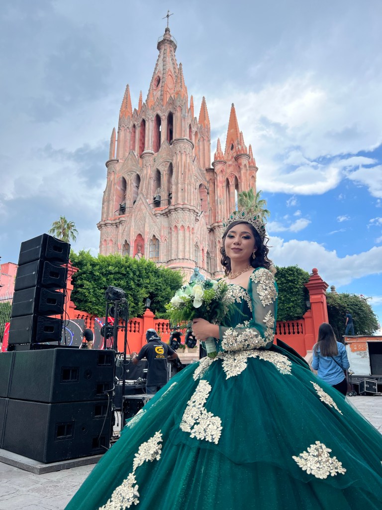
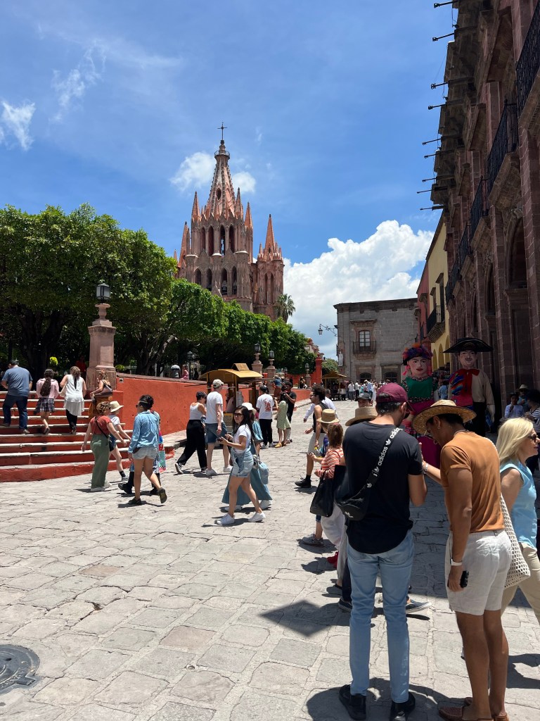
San Miguel de Allende

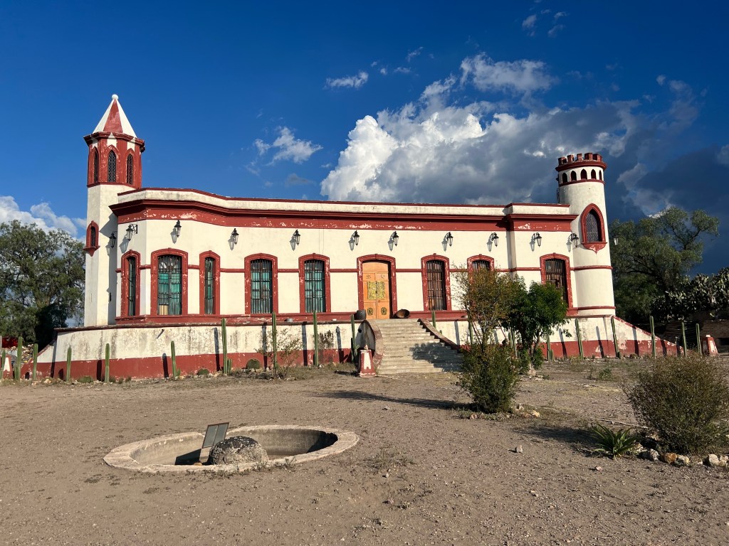
Mineral de Pozos

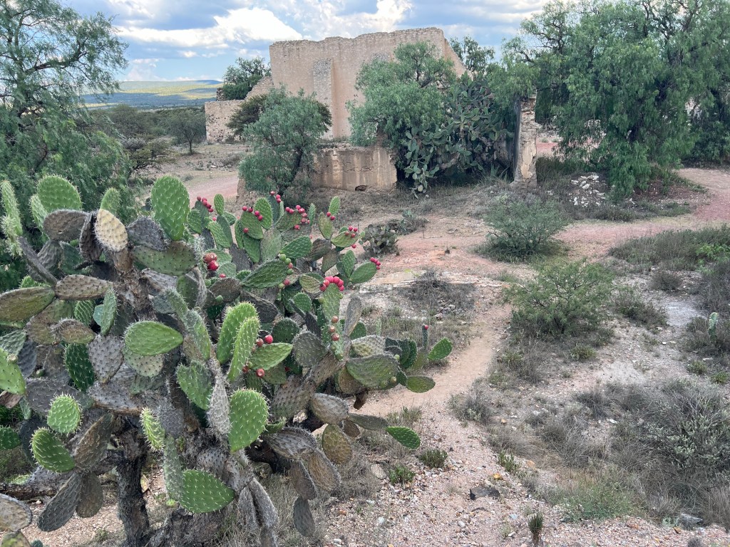
MdP is a PM near SMdA – about 40km. It is another mining town, but this time it is located in the high desert. Much of the agriculture are nopales. They say this is a large dairy area, but I haven’t seen any cattle.

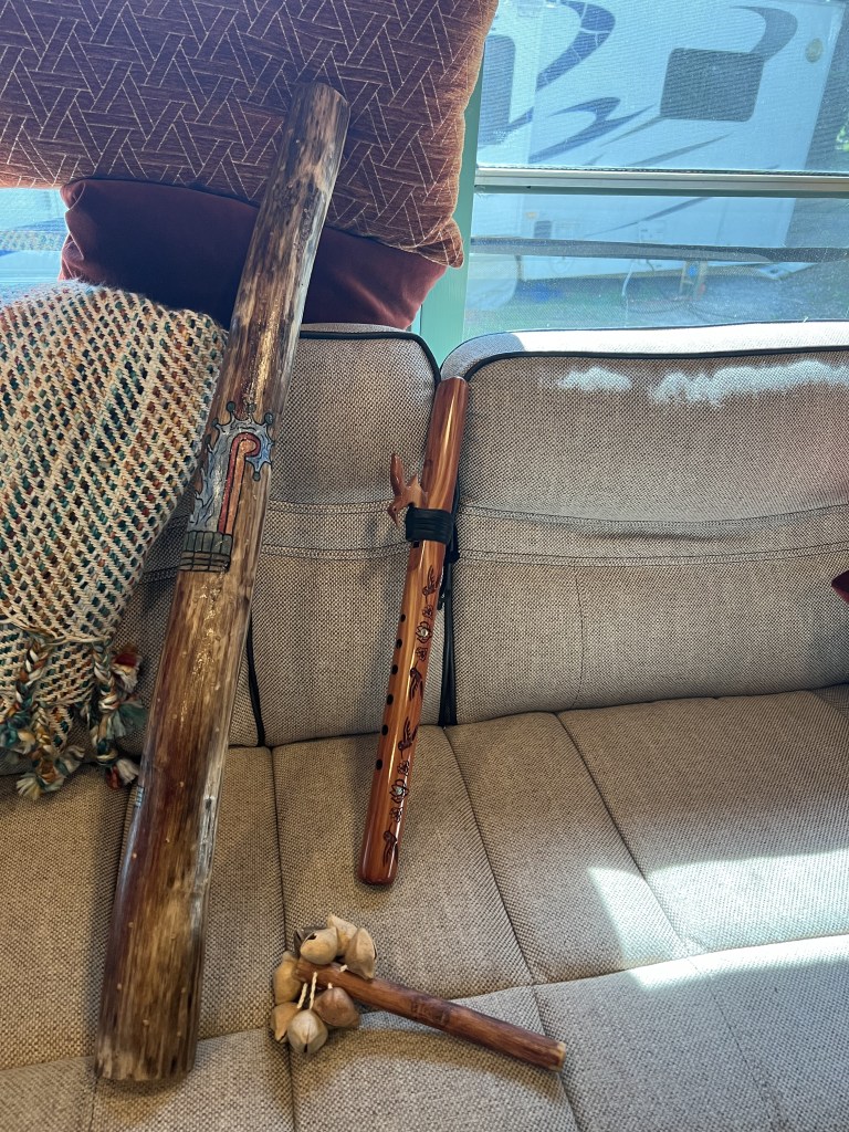
This is a very small town, the city center is about six square blocks, and from what we could tell, there’s not much else to the town. The first thing we did was to bump into a gallery of pre-hispanic musical instruments. This was a -really- cool gallery, we were encouraged to pick up all displays and play with them – and to buy them if we so wanted. We wanted… After talking to the proprietor about the different instrument makers, etc., I bought two instruments. One is a rattle made of seed pods from Flor de Maguey. This one sounds like a babbling brook, rain, or water. It’s really cool and fun to play. The other one that I bought is a rain stick – made from mesquite and cactus spines. Inside, the little rocks fall on the spines and since none of them are the same, each spine sounds a little different. You can hear the individual drops of rain from this instrument.

This is a very small town, the city center is about six square blocks, and from what we could tell, there’s not much else to the town. The first thing we did was to bump into a gallery of pre-hispanic musical instruments. This was a -really- cool gallery, we were encouraged to pick up all displays and play with them – and to buy them if we so wanted. We wanted… After talking to the proprietor about the different instrument makers, etc., I bought two instruments. One is a rattle made of seed pods from Flor de Maguey. This one sounds like a babbling brook, rain, or water. It’s really cool and fun to play. The other one that I bought is a rain stick – made from mesquite and cactus spines. Inside, the little rocks fall on the spines and since none of them are the same, each spine sounds a little different. You can hear the individual drops of rain from this instrument. Alongside my Hopi flute, they go quite well.

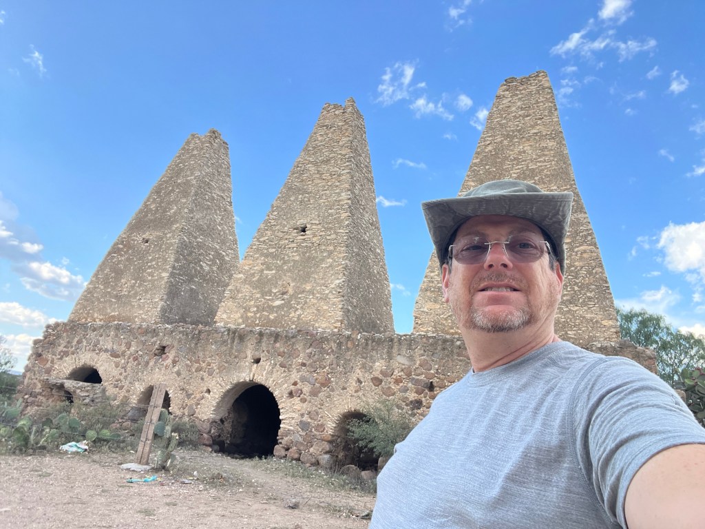
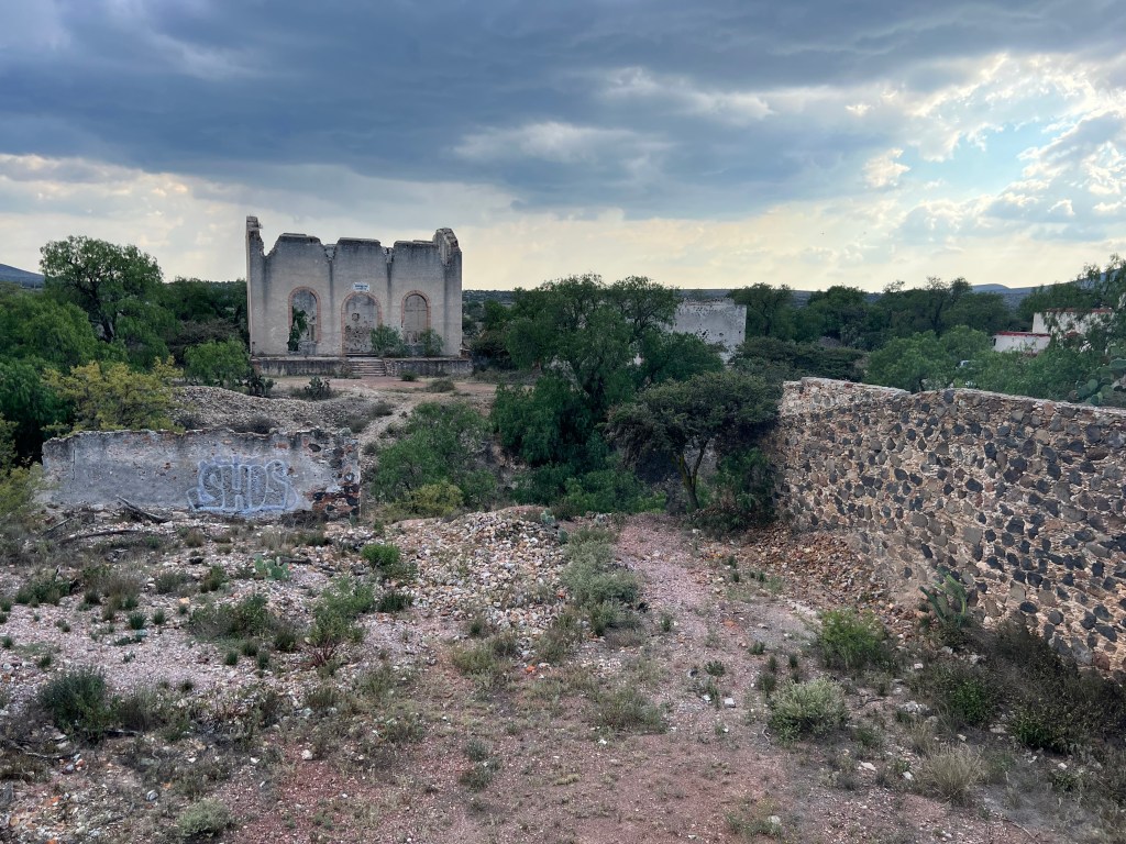
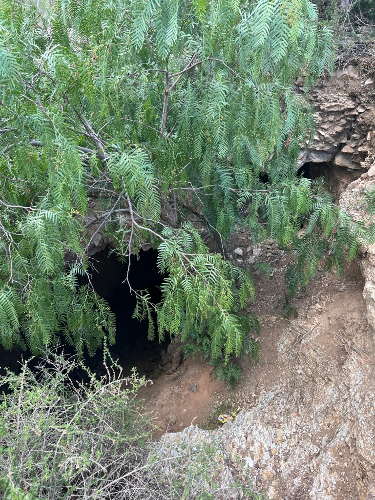
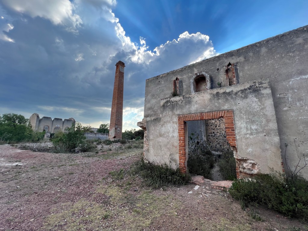
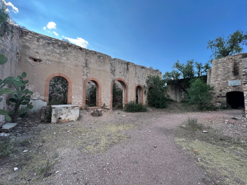
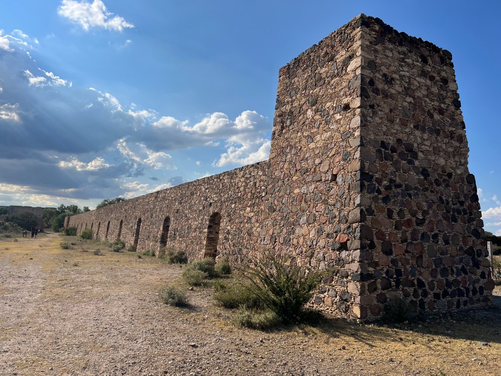
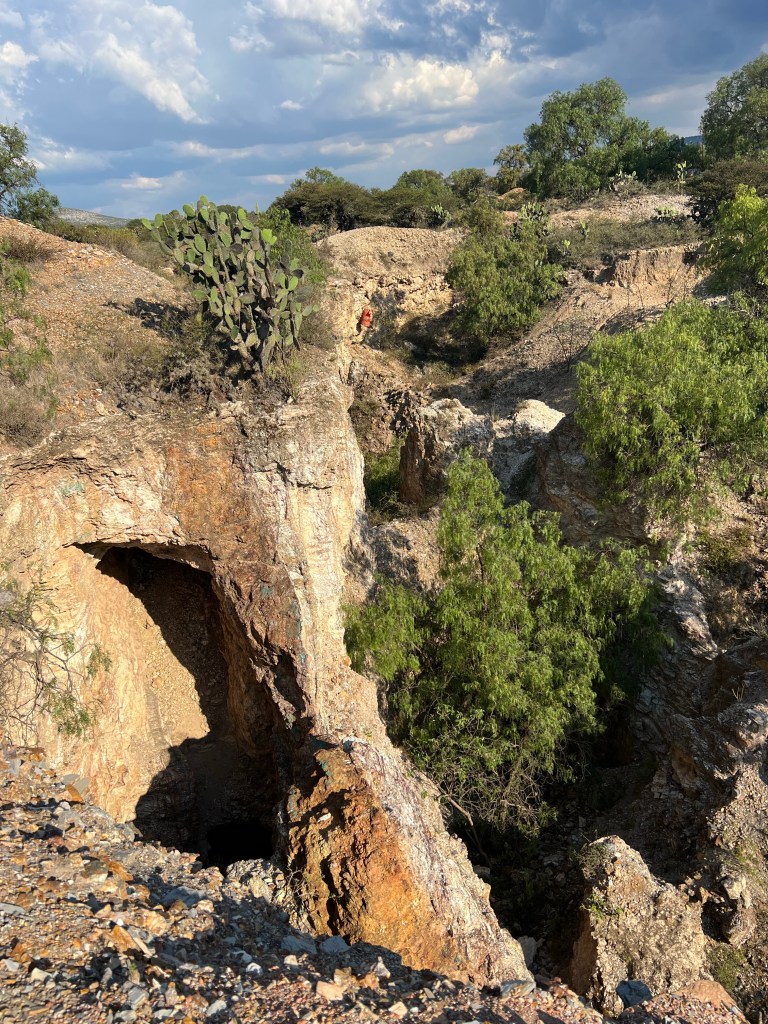
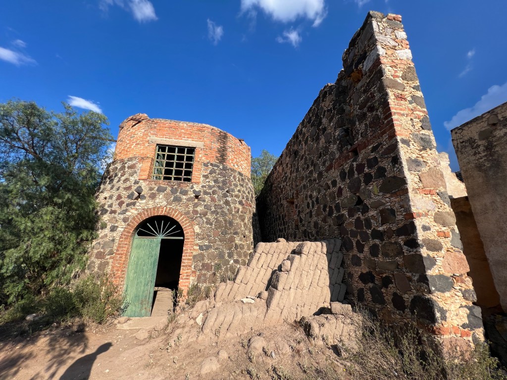
One of the attractions of Mineral de Pozos is all of the mines. There are over 500 mines in the municipality, most of them unbarricaded and ripe to fall in for any unsuspecting soul. We took a tour which have no regulation other than you must wear a hard-hat. Your safety is your problem, the guides cannot be responsible for you. If you only have three beers to take down into the mine, it’s not enough, you need more, etc, etc. Along with the mines is a Jesuit site to see. It’s ruins now, but it’s pretty incredible. Talk about open mines…

Dolores de Hidalgo

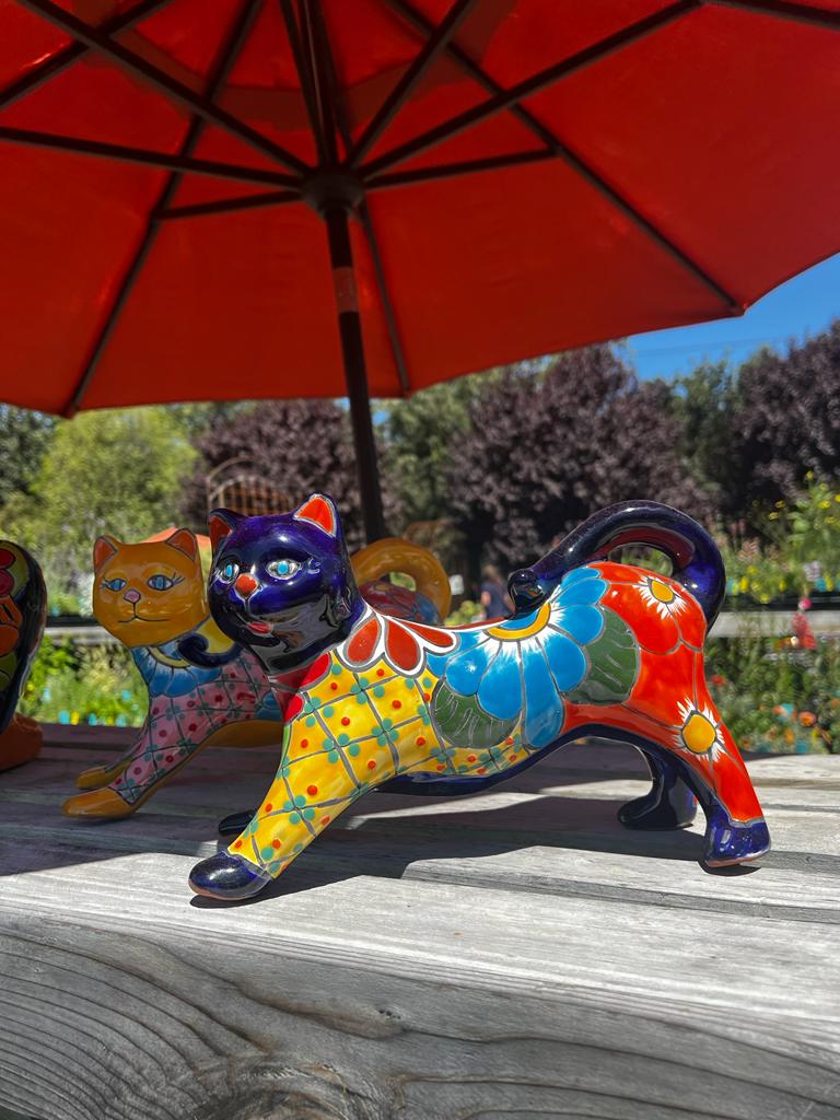
My wife texted me the other day and asked me to pick up some talavera pots. I asked at the RV Park office where to get some and the girl at the front desk pointed me to Dolores de Hidalgo – another Pueblo Mágico about 30km away.

Off we went, with the sole intention of buying pottery. When my wife sent me pictures of what she wanted, the pictures also had the prices in USD. When I got to the stores, I realized the prices were about 10-15% of the prices in the US. So I bought some pottery. The bus is full, my wife will be happy. The most challenging thing of the day, was how to fit all of the pottery I bought into Gary’s truck – the Ford Super Duty F-350 truck… I didn’t worry about it fitting into my bus – it’s a school bus after all.

This town was a little desert town. Not much about it other than the Talavera pottery. Except…

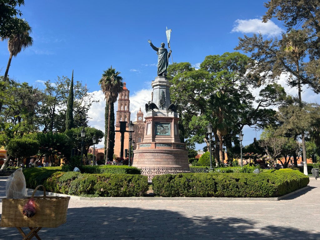
This town is where Padre Hidalgo, a Catholic priest who championed for the indigenous, meztico, and poorer Spaniards alike, cried for Mexican independence in 1865. While his movement was short lived due to his capture and murder, he is known as the father of Mexican independence. He is a much celebrated historical figure and his “Grito de la Independencia” was given in Dolores de Hidalgo.

Day 86 – Tequisquiápan

Coming down from 9500′ in elevation, it was nice to settle once again around 7000′. Even though it’s still high, I felt I could breath a bit better.

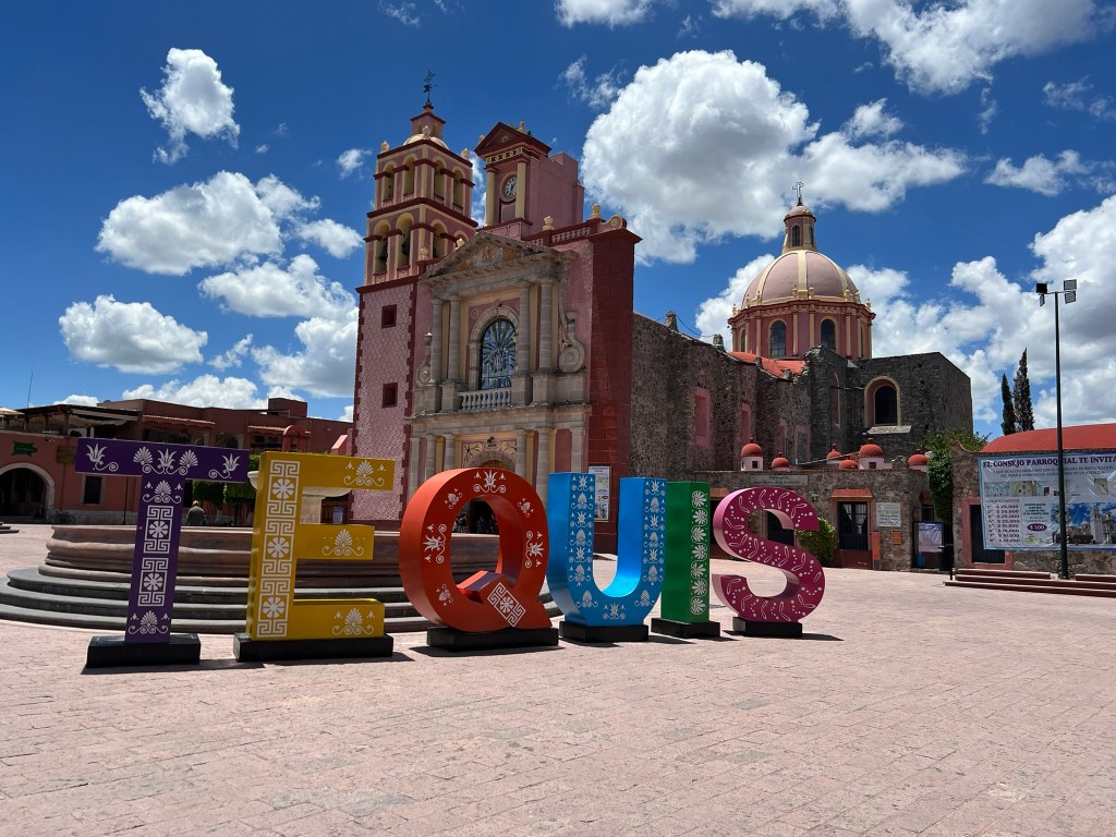
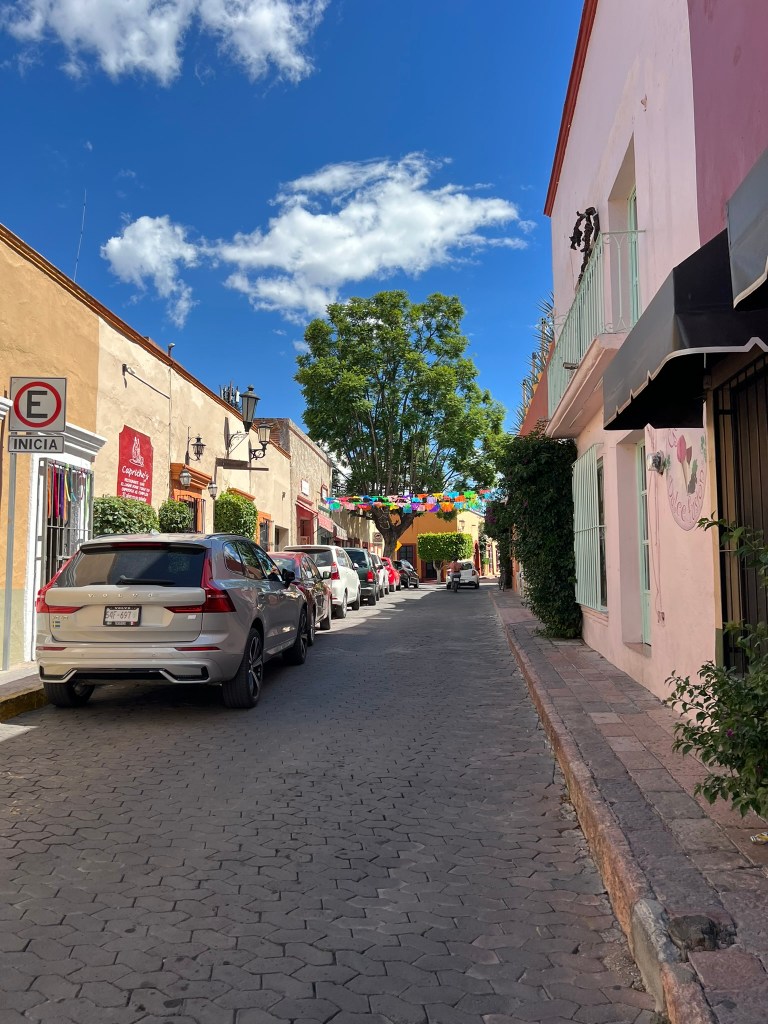
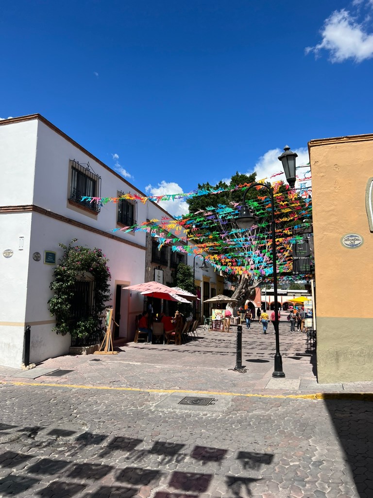
This town or small city was quite nice. Located in the Goldilocks zone for climate. The City Center was about 20 square blocks and was extremely clean. The town is famous for Art, Cheese, and Wine. Of which I sampled and bought some of each. This is a town that I could live in. Colonial style architecture, clean, close to a major airport, not-too-small-not-to-big, lots of trees, etc.

This town is also the geographical center of Mexico. They are proud to have that distinction and celebrate it.

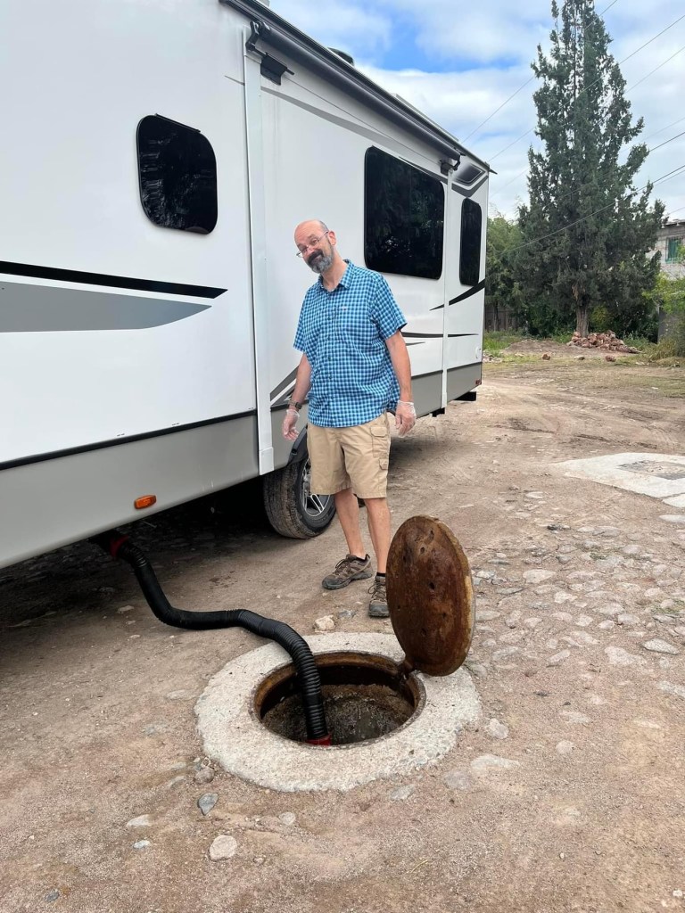
This RV park wasn’t really an RV park – it was another balneario and while there was electricity and water hookups, there were no sewage hookups. After camping for three nights, and staying here for three nights, we needed to empty the tanks. I asked the park management if they had a port we could dump into, he suggested the creek. Kind of a repeat of the conversation I had in El Chico. They finally got me in contact with a local septic pumping service who came out to assess the situation. He didn’t have a way to hook up to us, but he did help us identify the sewer man hole cover in the street and helped us dislodge it from years of neglect. The day we left, we popped the sucker open and dumped… quite the sight. We knew that this might be an issue/option for us and we were -mostly- prepared for it.

El Pizote did however, become the instigator in mischief… as the man hole cover was popped open, the hole went down about 5 meters. The walls were -covered- in cockroaches of all sizes. I prodded Gary to spray the coc… wash down the walls with his grey water. I’ve never seen so many cockroaches run into the daylight and onto the street before in my life. As I was standing a ways back to avoid the wonderful smells of Gary’s grey water, I was largely unaffected by the cockroach swarm. Gary and Rocco, on the other hand started dancing, stomping, and squealing like… While this story is true, as always, editorial liberties have been taken – take it for what it’s worth.

Bernal de la Peña

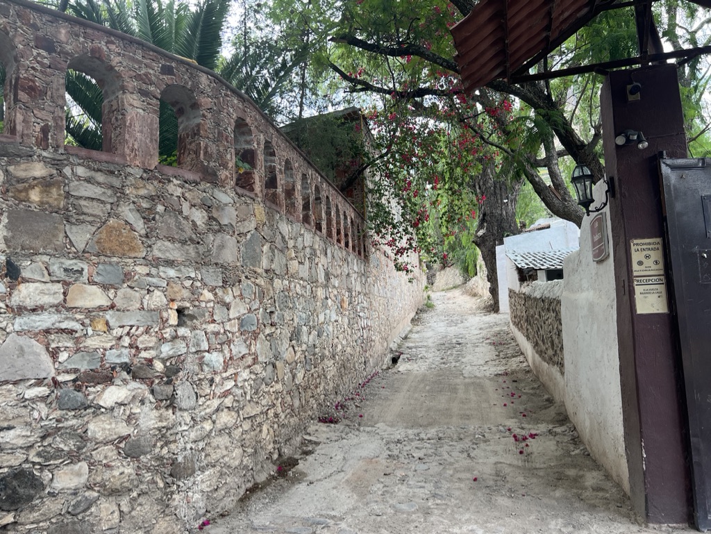
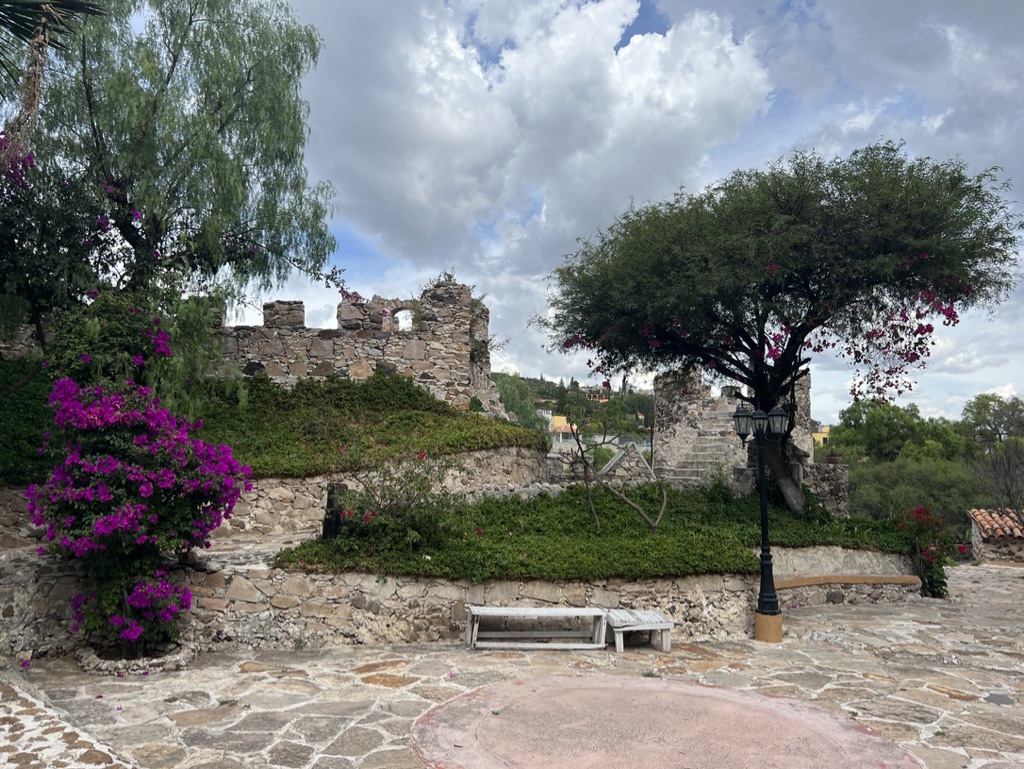
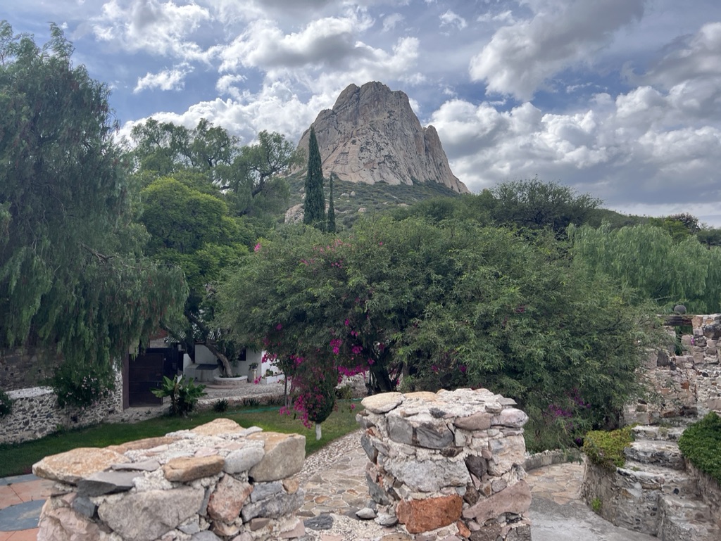
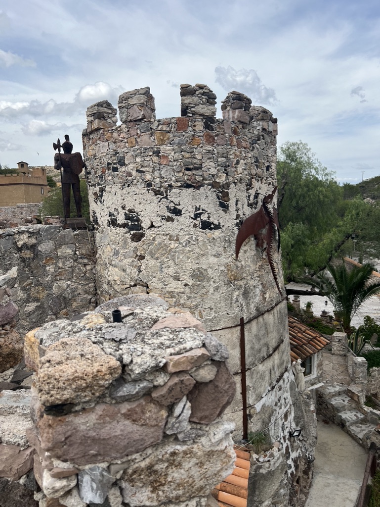
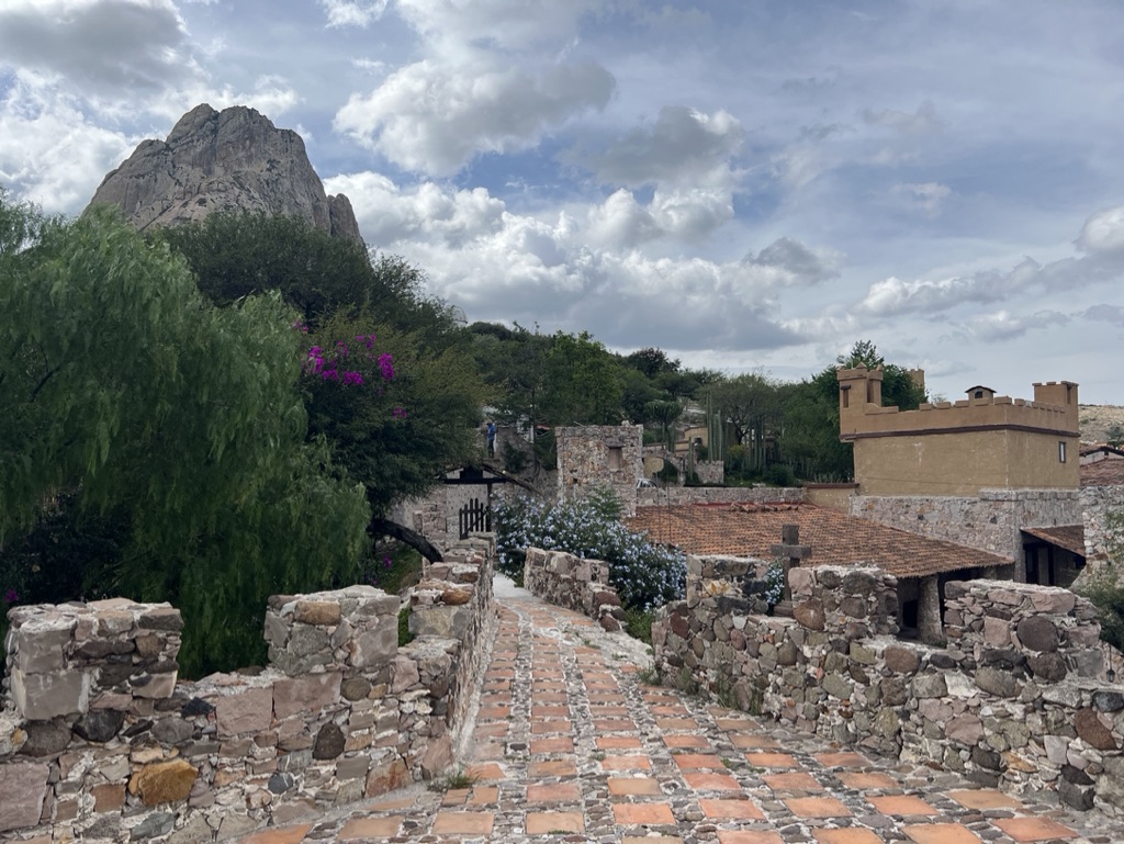
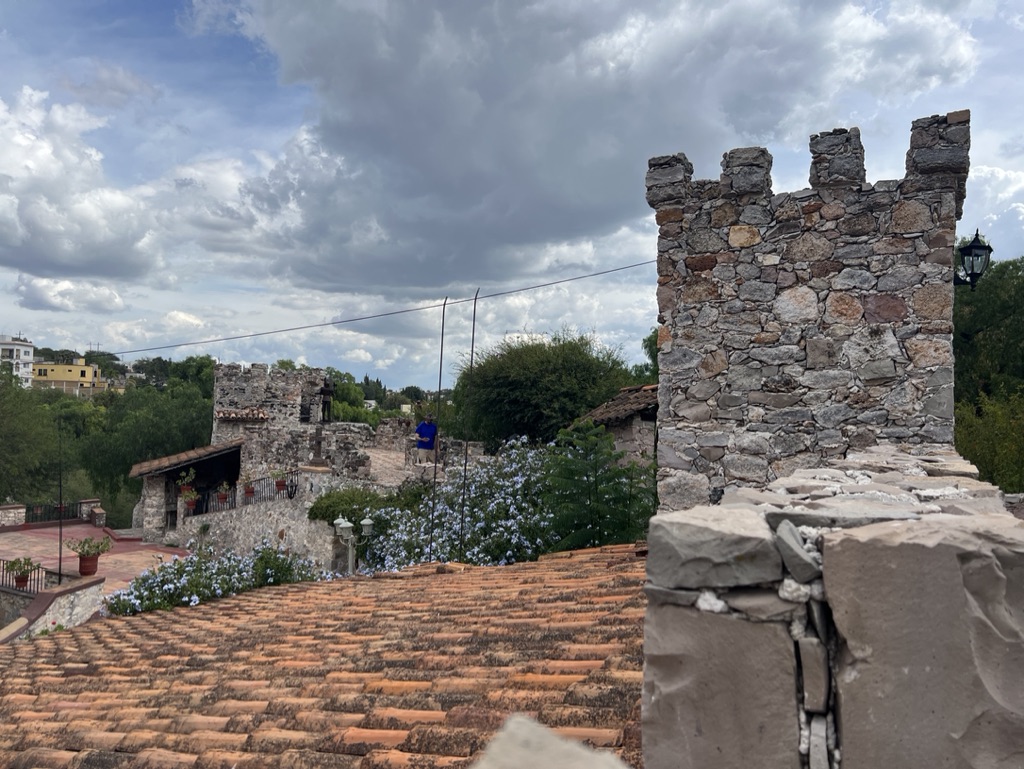
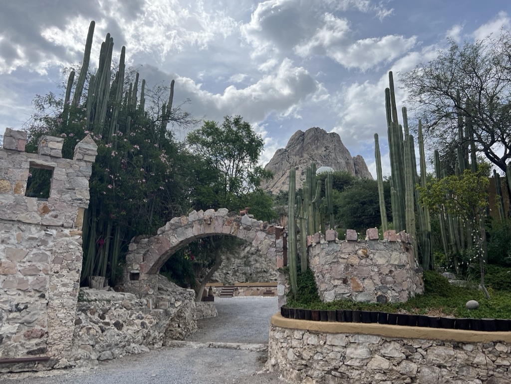
BdP is a small town about 20km outside of Tequis. It is a quaint little town with castles, a natural monument and pastries. It reminds me a little bit of Solvang, CA. We drove out to the BdP in the afternoon and were treated to a relaxing stroll around town to take in the sights and smells.

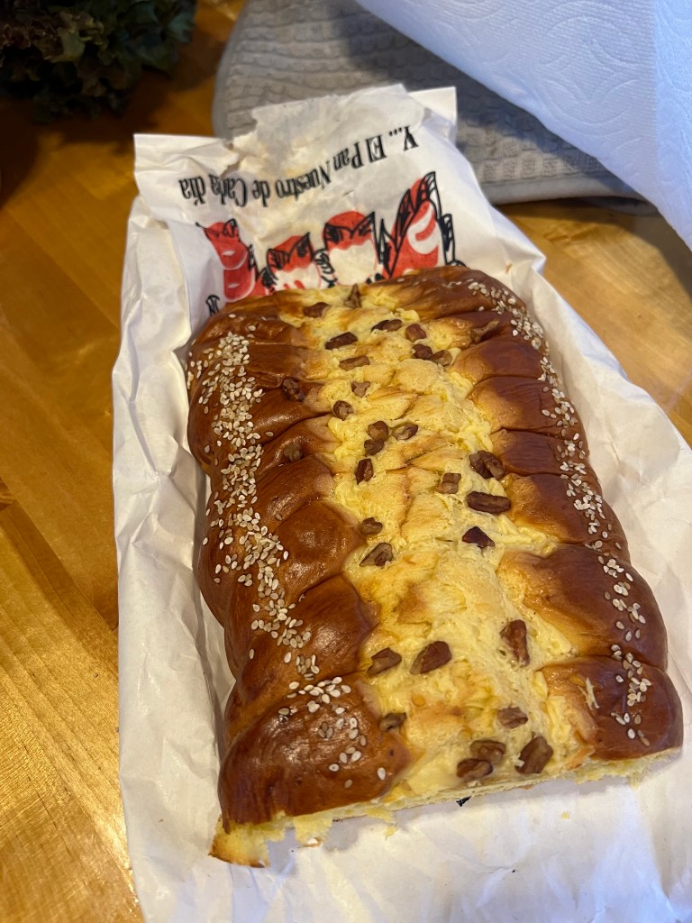
We parked on a side street and as always, I am first to hop out – many times before the truck has come to a stop. The first thing I noticed were all of the bakery smells wafting through the air. My natural reaction was first to salivate, and then to find the closest bakery, which happened to be around the corner.

The Peña is a tall natural monument that is the world’s third largest. You could see people up near the top, and I would normally want to hike it, but with the altitude, and… ahem… me being lazy, we opted just to stroll around town.

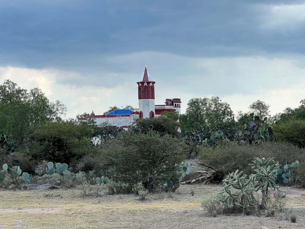
The fore-mentioned castle is actually a hotel and spa. I nice place from what we saw, I would stay here.

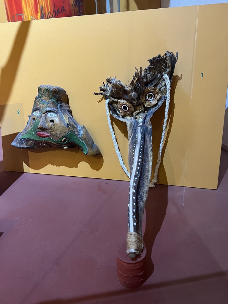
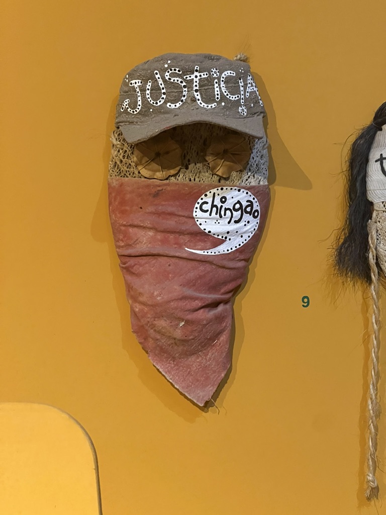
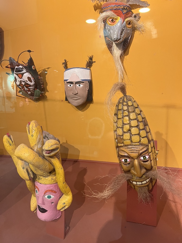
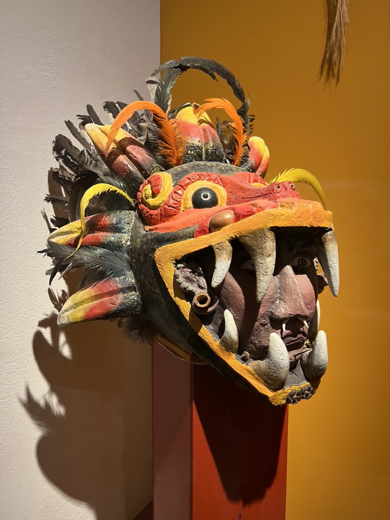
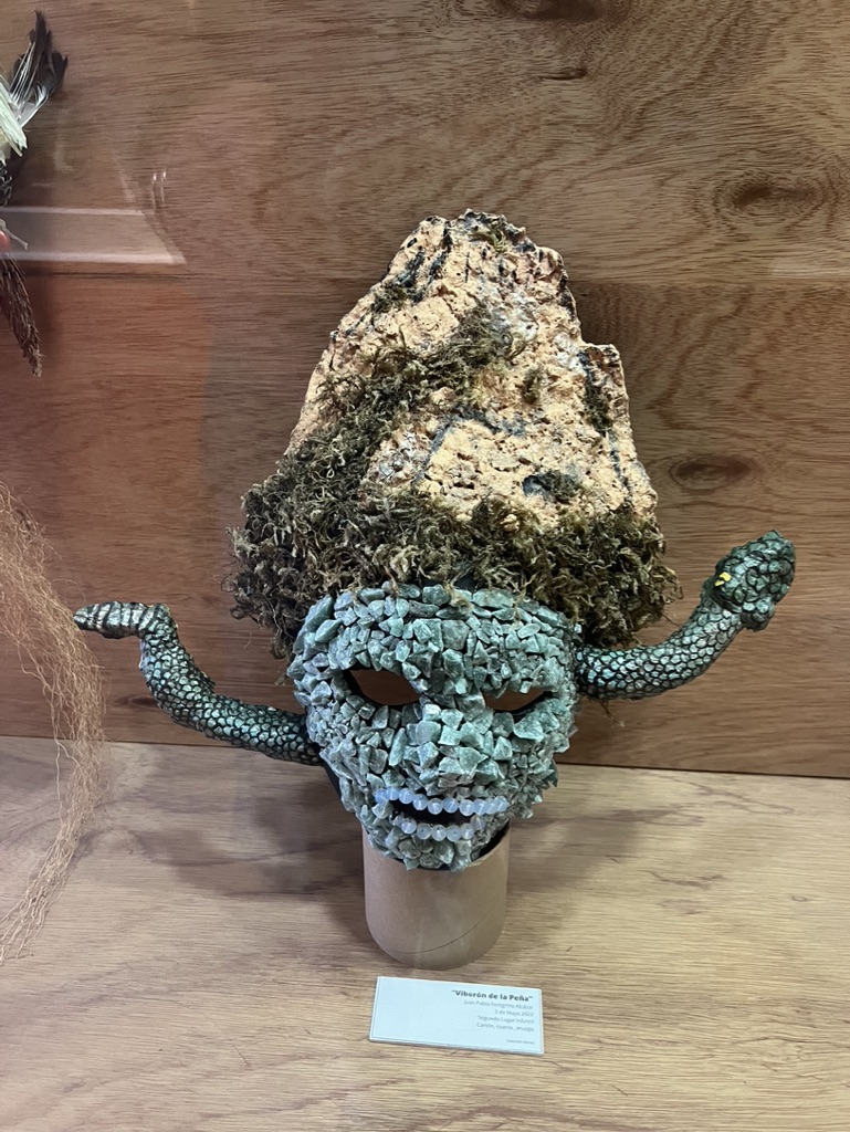
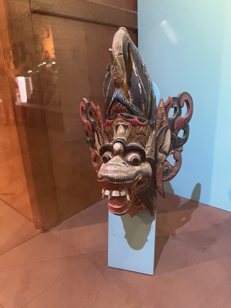
One of the attractions we ran across was the museum of masks. Very interesting collection of masks from around the world from many different eras…